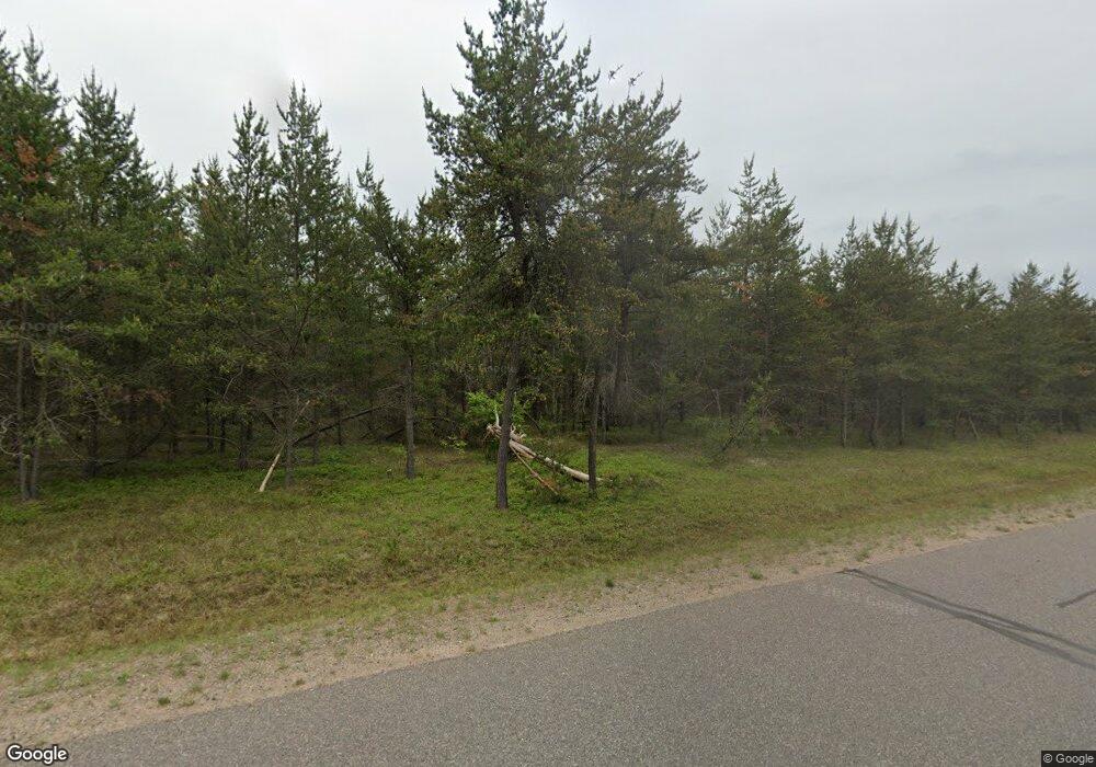
Estimated Value: $223,000 - $230,778
--
Bed
--
Bath
1,216
Sq Ft
$187/Sq Ft
Est. Value
About This Home
This home is located at 385 Station Rd, Gwinn, MI 49841 and is currently estimated at $226,889, approximately $186 per square foot. 385 Station Rd is a home located in Marquette County with nearby schools including K.I. Sawyer Elementary School and Gwinn Middle/High School.
Ownership History
Date
Name
Owned For
Owner Type
Purchase Details
Closed on
Nov 12, 2021
Sold by
Pfaffle Cory M
Bought by
Murray Joseph G and Murray James
Current Estimated Value
Home Financials for this Owner
Home Financials are based on the most recent Mortgage that was taken out on this home.
Original Mortgage
$92,000
Outstanding Balance
$22,711
Interest Rate
2.99%
Mortgage Type
New Conventional
Estimated Equity
$204,178
Purchase Details
Closed on
Dec 30, 2008
Bought by
Smith Anthony and Smith Erika
Create a Home Valuation Report for This Property
The Home Valuation Report is an in-depth analysis detailing your home's value as well as a comparison with similar homes in the area
Home Values in the Area
Average Home Value in this Area
Purchase History
| Date | Buyer | Sale Price | Title Company |
|---|---|---|---|
| Murray Joseph G | $71,000 | Transnation Title Agency | |
| Smith Anthony | $115,000 | -- |
Source: Public Records
Mortgage History
| Date | Status | Borrower | Loan Amount |
|---|---|---|---|
| Open | Murray Joseph G | $92,000 |
Source: Public Records
Tax History Compared to Growth
Tax History
| Year | Tax Paid | Tax Assessment Tax Assessment Total Assessment is a certain percentage of the fair market value that is determined by local assessors to be the total taxable value of land and additions on the property. | Land | Improvement |
|---|---|---|---|---|
| 2025 | $9 | $81,600 | $0 | $0 |
| 2024 | $9 | $70,200 | $0 | $0 |
| 2023 | $818 | $61,000 | $0 | $0 |
| 2022 | $1,356 | $45,300 | $0 | $0 |
| 2021 | $1,190 | $45,300 | $0 | $0 |
| 2020 | $1,187 | $45,300 | $0 | $0 |
| 2019 | $1,137 | $45,500 | $0 | $0 |
| 2018 | $1,318 | $52,850 | $0 | $0 |
| 2017 | $1,367 | $55,200 | $0 | $0 |
| 2016 | $2,394 | $59,050 | $0 | $0 |
| 2015 | -- | $59,050 | $0 | $0 |
| 2014 | -- | $55,150 | $0 | $0 |
| 2012 | -- | $50,400 | $0 | $0 |
Source: Public Records
Map
Nearby Homes
- 200 Station Rd
- 255 Laramie Rd
- 350 Taylor Rd
- TBD Co Rd Eeb Pohlman Rd
- 102 Caribou St
- 117 Provider St
- 116 Constellation St
- 136 Crusader Ave
- TBD E Martin Lake Rd
- 23 County Road Mp
- Lot F Maple Wood Ln
- Lot G Maple Wood Ln
- 000 Maplewood Dr
- Lot H Maple Wood Ln
- TBD N Cataract Dr
- 3573 Michigan 35
- TBD Ln
- TBD E Provost Lake Rd
- 337 N Adams St W
- 211 N Pine St
