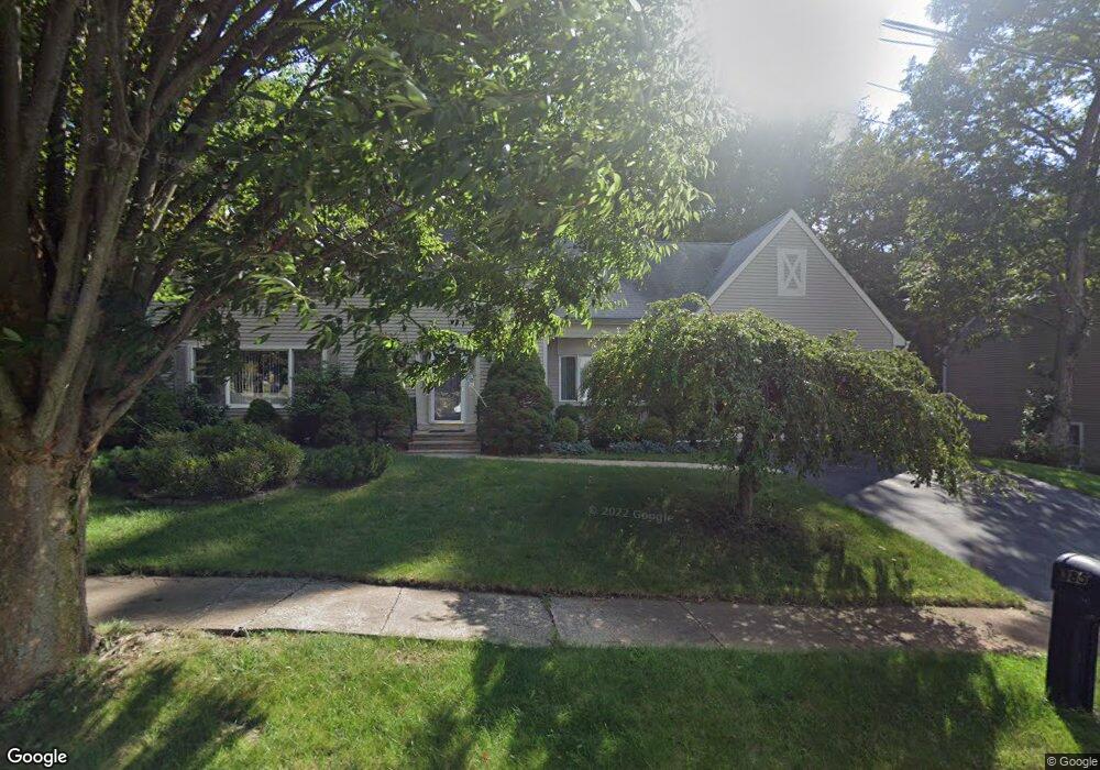
385 Stevenson Rd New Haven, CT 06515
Westville NeighborhoodEstimated Value: $492,000 - $677,000
4
Beds
3
Baths
2,730
Sq Ft
$218/Sq Ft
Est. Value
About This Home
This home is located at 385 Stevenson Rd, New Haven, CT 06515 and is currently estimated at $594,489, approximately $217 per square foot. 385 Stevenson Rd is a home located in New Haven County with nearby schools including Davis Academy for Arts & Design Innovation, Elm City Montessori School, and Hopkins School.
Ownership History
Date
Name
Owned For
Owner Type
Purchase Details
Closed on
Jan 25, 2002
Sold by
Ortiz Francisco and Ortiz Mayra
Bought by
Williams James L and Williams Bertha B
Current Estimated Value
Home Financials for this Owner
Home Financials are based on the most recent Mortgage that was taken out on this home.
Original Mortgage
$150,000
Interest Rate
7.08%
Purchase Details
Closed on
Feb 5, 1999
Sold by
Willis Bernice H
Bought by
Ortiz Francisco and Ortiz Mayra
Purchase Details
Closed on
Aug 29, 1989
Sold by
Westland Devel
Bought by
Willis Carroll T
Create a Home Valuation Report for This Property
The Home Valuation Report is an in-depth analysis detailing your home's value as well as a comparison with similar homes in the area
Home Values in the Area
Average Home Value in this Area
Purchase History
| Date | Buyer | Sale Price | Title Company |
|---|---|---|---|
| Williams James L | $265,000 | -- | |
| Ortiz Francisco | $175,000 | -- | |
| Willis Carroll T | $269,190 | -- |
Source: Public Records
Mortgage History
| Date | Status | Borrower | Loan Amount |
|---|---|---|---|
| Open | Willis Carroll T | $166,000 | |
| Closed | Willis Carroll T | $40,000 | |
| Closed | Willis Carroll T | $150,000 | |
| Previous Owner | Willis Carroll T | $193,800 |
Source: Public Records
Tax History
| Year | Tax Paid | Tax Assessment Tax Assessment Total Assessment is a certain percentage of the fair market value that is determined by local assessors to be the total taxable value of land and additions on the property. | Land | Improvement |
|---|---|---|---|---|
| 2025 | $11,967 | $303,730 | $62,790 | $240,940 |
| 2024 | $11,694 | $303,730 | $62,790 | $240,940 |
| 2023 | $11,299 | $303,730 | $62,790 | $240,940 |
| 2022 | $12,073 | $303,730 | $62,790 | $240,940 |
| 2021 | $10,112 | $230,440 | $40,810 | $189,630 |
| 2020 | $10,112 | $230,440 | $40,810 | $189,630 |
| 2019 | $9,904 | $230,440 | $40,810 | $189,630 |
| 2018 | $9,904 | $230,440 | $40,810 | $189,630 |
| 2017 | $8,913 | $230,440 | $40,810 | $189,630 |
| 2016 | $9,834 | $236,670 | $42,350 | $194,320 |
| 2015 | $9,834 | $236,670 | $42,350 | $194,320 |
| 2014 | $9,834 | $236,670 | $42,350 | $194,320 |
Source: Public Records
Map
Nearby Homes
- 690 Forest Rd Unit 702
- 690 Forest Rd Unit 761
- 690 Forest Rd Unit 501
- 11 Priscilla Rd
- 699 Forest Rd
- 119 Westwood Rd
- 224 Ray Rd
- 50 Morris Ave
- 21 Richmond Ave
- 55 Marvel Rd
- 360 Fountain St Unit 5
- 206 W Rock Ave
- 51 Fountain Terrace
- 110 Fenwick St
- 71 Sycaway St
- 23 Yates St
- 595 Central Ave
- 846 Beechwood Rd
- 1016 Whalley Ave Unit 6
- 0 Burwell Rd
- 375 Stevenson Rd
- 395 Stevenson Rd
- 390 Stevenson Rd
- 374 Stevenson Rd
- 365 Stevenson Rd
- 405 Stevenson Rd
- 415 Stevenson Rd
- 370 Stevenson Rd
- 400 Stevenson Rd
- 360 Stevenson Rd
- 355 Stevenson Rd
- 410 Stevenson Rd
- 45 Spencer Place
- 435 Stevenson Rd
- 345 Stevenson Rd
- 35 Spencer Place
- 420 Stevenson Rd
- 25 Spencer Place
- 445 Stevenson Rd
- 325 Stevenson Rd