385 Zellner Rd Culloden, GA 31016
Estimated Value: $125,000 - $495,884
5
Beds
2
Baths
2,400
Sq Ft
$143/Sq Ft
Est. Value
About This Home
This home is located at 385 Zellner Rd, Culloden, GA 31016 and is currently estimated at $342,295, approximately $142 per square foot. 385 Zellner Rd is a home located in Lamar County with nearby schools including Lamar County Primary School, Lamar County Elementary School, and Lamar County Middle School.
Ownership History
Date
Name
Owned For
Owner Type
Purchase Details
Closed on
Apr 3, 2012
Sold by
Zellner Robert
Bought by
Zellner Robert O
Current Estimated Value
Purchase Details
Closed on
Oct 26, 2010
Sold by
Zellner Carolyn
Bought by
Zellner Robert
Purchase Details
Closed on
Jun 28, 2008
Sold by
Zellner Robert
Bought by
Dorogy Diane T
Purchase Details
Closed on
Sep 22, 2006
Sold by
Martin Barry Keith
Bought by
Floyd Martha N
Purchase Details
Closed on
Jun 6, 2006
Sold by
Zellner Robert O
Bought by
Martin Barry Keith
Purchase Details
Closed on
Dec 1, 1972
Bought by
Zellner Robert O
Create a Home Valuation Report for This Property
The Home Valuation Report is an in-depth analysis detailing your home's value as well as a comparison with similar homes in the area
Home Values in the Area
Average Home Value in this Area
Purchase History
| Date | Buyer | Sale Price | Title Company |
|---|---|---|---|
| Zellner Robert O | -- | -- | |
| Zellner Robert | -- | -- | |
| Dorogy Diane T | -- | -- | |
| Floyd Martha N | $181,000 | -- | |
| Martin Barry Keith | $1,500 | -- | |
| Zellner Robert O | -- | -- |
Source: Public Records
Tax History Compared to Growth
Tax History
| Year | Tax Paid | Tax Assessment Tax Assessment Total Assessment is a certain percentage of the fair market value that is determined by local assessors to be the total taxable value of land and additions on the property. | Land | Improvement |
|---|---|---|---|---|
| 2025 | $2,120 | $170,760 | $65,781 | $104,979 |
| 2024 | $2,120 | $154,440 | $65,781 | $88,659 |
| 2023 | $2,003 | $144,532 | $65,781 | $78,751 |
| 2022 | $1,866 | $134,635 | $64,396 | $70,239 |
| 2021 | $1,117 | $105,915 | $62,525 | $43,390 |
| 2020 | $1,165 | $108,209 | $64,819 | $43,390 |
| 2019 | $1,309 | $108,209 | $64,819 | $43,390 |
| 2018 | $1,372 | $108,209 | $64,819 | $43,390 |
| 2017 | $1,364 | $108,209 | $64,819 | $43,390 |
| 2016 | $1,365 | $108,209 | $64,819 | $43,390 |
| 2015 | $1,559 | $108,209 | $64,819 | $43,390 |
| 2014 | $1,526 | $108,993 | $64,819 | $44,174 |
| 2013 | -- | $108,992 | $64,818 | $44,174 |
Source: Public Records
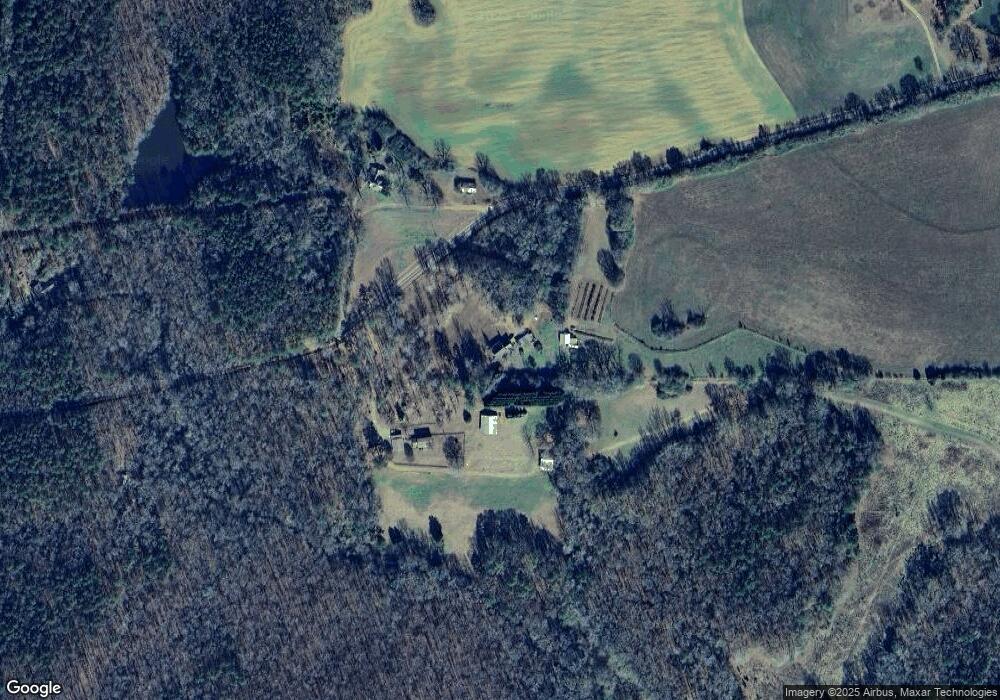
Map
Nearby Homes
- 305 Zellner Rd
- 0 Ramah Church Rd Unit 10480661
- 0 Ramah Church Rd Unit 7542675
- 144 Means Rd
- 202 Community House Rd
- 208 Community House Rd
- 355 Dumas Rd
- 1721 Old Zebulon Rd
- 284 Community House Rd
- 272 Community House Rd
- 342 Ramah Church Rd
- TRACT 9 Ramah Church Rd Unit 9
- TRACT 6 Ramah Church Rd Unit 6
- 1904 U S 341
- 737 Pine Grove Church Rd
- 0 Abercrombie Rd Unit 24572833
- 293 AC Hopewell Rd
- 5588 Ga Highway 42 S Unit LOT 3
- 0 Pine Grove Church Rd Unit LOT 2 10525757
- 0 Pine Grove Church Rd Unit LOT 1 10525767
- 373 Zellner Rd
- 321 Zellner Rd
- 374 Zellner Rd
- - Zellner Rd
- 1752 Ramah Church Rd
- 450 Zellner Rd
- 454 Forsyth Yatesville Rd
- 1787 Ramah Church Rd
- 1771 Ramah Church Rd
- 1805 Ramah Church Rd
- 1693 Ramah Church Rd
- 1823 Ramah Church Rd
- 1836 Ramah Church Rd
- 1836 Ramah Church Rd
- 291 Zellner Rd
- 1844 Ramah Church Rd
- 277 Zellner Rd
- 371 Forsyth Yatesville Rd
- 273 Zellner Rd
- 273 Zellner Rd