3850 Fishers Way Peyton, CO 80831
Falcon NeighborhoodEstimated Value: $629,000 - $746,713
4
Beds
4
Baths
4,558
Sq Ft
$152/Sq Ft
Est. Value
About This Home
This home is located at 3850 Fishers Way, Peyton, CO 80831 and is currently estimated at $692,571, approximately $151 per square foot. 3850 Fishers Way is a home located in El Paso County with nearby schools including Falcon Elementary School Of Technology, Clifford Street Elementary School, and City Terrace Elementary School.
Ownership History
Date
Name
Owned For
Owner Type
Purchase Details
Closed on
Apr 13, 2023
Sold by
Solberg James A
Bought by
Solberg Family Trust
Current Estimated Value
Purchase Details
Closed on
Oct 14, 2014
Sold by
Shunk Bryan and Shunk Carolyn
Bought by
The Shunk Family Trust
Purchase Details
Closed on
Jun 10, 1994
Sold by
Skinner Earl Wayne
Bought by
Shunk Bryan and Shunk Carolyn
Purchase Details
Closed on
May 9, 1989
Bought by
Shunk Family Trust
Purchase Details
Closed on
Jul 14, 1986
Sold by
Sagecrest Ltd
Bought by
Skinner Earl Wayne and Skinner Eileen F
Create a Home Valuation Report for This Property
The Home Valuation Report is an in-depth analysis detailing your home's value as well as a comparison with similar homes in the area
Home Values in the Area
Average Home Value in this Area
Purchase History
| Date | Buyer | Sale Price | Title Company |
|---|---|---|---|
| Solberg Family Trust | -- | None Listed On Document | |
| The Shunk Family Trust | -- | None Available | |
| Shunk Bryan | $17,000 | -- | |
| Shunk Family Trust | -- | -- | |
| Skinner Earl Wayne | -- | -- |
Source: Public Records
Tax History Compared to Growth
Tax History
| Year | Tax Paid | Tax Assessment Tax Assessment Total Assessment is a certain percentage of the fair market value that is determined by local assessors to be the total taxable value of land and additions on the property. | Land | Improvement |
|---|---|---|---|---|
| 2025 | $3,600 | $55,580 | -- | -- |
| 2024 | $3,485 | $54,190 | $6,620 | $47,570 |
| 2023 | $3,485 | $54,190 | $6,620 | $47,570 |
| 2022 | $2,191 | $31,560 | $5,130 | $26,430 |
| 2021 | $2,102 | $29,950 | $5,280 | $24,670 |
| 2020 | $1,842 | $26,130 | $5,400 | $20,730 |
| 2019 | $1,826 | $26,130 | $5,400 | $20,730 |
| 2018 | $1,613 | $22,690 | $4,900 | $17,790 |
| 2017 | $1,477 | $22,690 | $4,900 | $17,790 |
| 2016 | $1,442 | $21,860 | $5,180 | $16,680 |
| 2015 | $1,443 | $21,860 | $5,180 | $16,680 |
| 2014 | $1,325 | $19,700 | $4,780 | $14,920 |
Source: Public Records
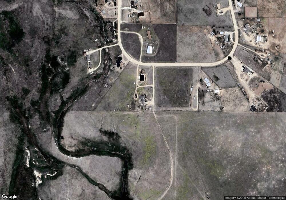
Map
Nearby Homes
- 16175 Cathys Loop
- 15310 Coyote Haven View
- 3250 Slocum Rd
- 18895 Sage Crest Rd
- 16390 Stage Stop Rd
- 4145 Los Ranchitos Dr
- 3865 Broken Arrow Dr
- 4215 Los Ranchitos Dr
- 3745 Broken Arrow Dr
- 17155 Wagon Train Loop
- 17220 Honeydew Ct
- 17355 Wagon Train Loop
- 2550 Slocum Rd
- 2265 Terri Lee Dr
- 17435 Wagon Train Loop
- 0 Kennedy Rd
- 2120 Terri Lee Dr
- 2115 Terri Lee Dr
- 2955 Hoofprint Rd
- 2940 Hoofprint Rd
- 16245 Cathys Loop
- 16240 Cathys Loop
- 16345 Cathys Loop
- 16120 Cathys Loop
- 16340 Cathys Loop
- 16125 Cathys Loop
- 16365 Cathys Loop
- 16350 Cathys Loop
- 20025 Cathys Loop
- 16445 Cathys Loop
- 16225 Cathys Loop
- 16025 Cathys Loop
- 4080 Wileys Rd
- 4020 Wileys Rd
- 3805 Curtis Rd
- 3930 Wileys Rd
- 3880 Wileys Rd
- 4075 Wileys Rd
- 4125 Wileys Rd
- 3975 Wileys Rd