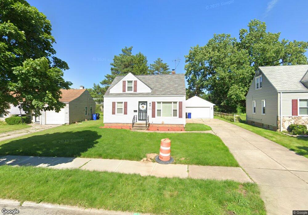
3851 E 189th St Cleveland, OH 44122
Estimated Value: $112,000 - $220,000
3
Beds
1
Bath
1,408
Sq Ft
$109/Sq Ft
Est. Value
About This Home
This home is located at 3851 E 189th St, Cleveland, OH 44122 and is currently estimated at $153,046, approximately $108 per square foot. 3851 E 189th St is a home located in Cuyahoga County with nearby schools including Chapelside Cleveland Academy and The Green Inspiration Academy.
Ownership History
Date
Name
Owned For
Owner Type
Purchase Details
Closed on
Jun 17, 2016
Sold by
Grovewood Properties Llc
Bought by
Brewer Jolynn
Current Estimated Value
Home Financials for this Owner
Home Financials are based on the most recent Mortgage that was taken out on this home.
Original Mortgage
$117,727
Outstanding Balance
$92,575
Interest Rate
3.62%
Mortgage Type
FHA
Estimated Equity
$60,471
Purchase Details
Closed on
Feb 18, 2016
Sold by
Estate Of Charles Russell Sr
Bought by
Grovewood Properties
Purchase Details
Closed on
Jan 1, 1975
Bought by
Russel Chas and Russel Annalathin
Create a Home Valuation Report for This Property
The Home Valuation Report is an in-depth analysis detailing your home's value as well as a comparison with similar homes in the area
Home Values in the Area
Average Home Value in this Area
Purchase History
| Date | Buyer | Sale Price | Title Company |
|---|---|---|---|
| Brewer Jolynn | $119,900 | Mount Morris Title Agency | |
| Grovewood Properties | $16,270 | None Available | |
| Russel Chas | -- | -- |
Source: Public Records
Mortgage History
| Date | Status | Borrower | Loan Amount |
|---|---|---|---|
| Open | Brewer Jolynn | $117,727 |
Source: Public Records
Tax History
| Year | Tax Paid | Tax Assessment Tax Assessment Total Assessment is a certain percentage of the fair market value that is determined by local assessors to be the total taxable value of land and additions on the property. | Land | Improvement |
|---|---|---|---|---|
| 2025 | $483 | $55,930 | $7,245 | $48,685 |
| 2024 | $483 | $55,930 | $7,245 | $48,685 |
| 2023 | $483 | $6,370 | $6,300 | $70 |
| 2022 | $480 | $37,840 | $6,300 | $31,540 |
| 2021 | $476 | $37,840 | $6,300 | $31,540 |
| 2020 | $472 | $5,460 | $5,390 | $70 |
| 2019 | $436 | $15,600 | $15,400 | $200 |
| 2018 | $217 | $5,460 | $5,390 | $70 |
| 2017 | $580 | $7,030 | $7,000 | $30 |
| 2016 | $1,427 | $17,010 | $7,000 | $10,010 |
| 2015 | $1,656 | $17,010 | $7,000 | $10,010 |
| 2014 | $833 | $16,660 | $6,860 | $9,800 |
Source: Public Records
Map
Nearby Homes
- 19315 Gladstone Rd
- 18506 Scottsdale Blvd
- 18707 Scottsdale Blvd
- 18220 Invermere Ave
- 19419 Scottsdale Blvd
- 4001 E 189th St
- 19615 Scottsdale Blvd
- 3670 Townley Rd
- 3677 Stoer Rd
- 3715 Sutherland Rd
- 19814 Scottsdale Blvd
- 3685 Gridley Rd
- 19608 Kings Hwy
- 3722 Glencairn Rd
- 3925 Strandhill Rd
- 3676 Rawnsdale Rd
- 3613 Lynnfield Rd
- 3635 Tolland Rd
- 3852 Lee Heights Blvd
- 18310 Harvard Ave
- 3857 E 189th St
- 3847 E 189th St
- 3861 E 189th St
- 3854 E 190th St
- 3843 E 189th St
- 3850 E 190th St
- 3858 E 190th St
- 3846 E 190th St
- 3862 E 190th St
- 3867 E 189th St
- 3850 E 189th St
- 3842 E 190th St
- 3839 E 189th St
- 3866 E 190th St
- 3858 E 189th St
- 3862 E 189th St
- 3871 E 189th St
- 3838 E 190th St
- 3842 E 189th St
- 3870 E 190th St
Your Personal Tour Guide
Ask me questions while you tour the home.