Estimated Value: $131,000 - $357,247
3
Beds
4
Baths
4,000
Sq Ft
$68/Sq Ft
Est. Value
About This Home
This home is located at 386 Broadhurst Rd, Jesup, GA 31546 and is currently estimated at $273,062, approximately $68 per square foot. 386 Broadhurst Rd is a home located in Wayne County with nearby schools including Jesup Elementary School, Arthur Williams Middle School, and Wayne County High School.
Ownership History
Date
Name
Owned For
Owner Type
Purchase Details
Closed on
Nov 12, 2024
Sold by
Lancy John
Bought by
Lancy Nancy L
Current Estimated Value
Purchase Details
Closed on
Sep 7, 2006
Sold by
Cason David H
Bought by
Cason David H and Cason Joel M
Purchase Details
Closed on
Oct 1, 2004
Bought by
Cason David H
Purchase Details
Closed on
Apr 1, 1983
Purchase Details
Closed on
Aug 1, 1978
Create a Home Valuation Report for This Property
The Home Valuation Report is an in-depth analysis detailing your home's value as well as a comparison with similar homes in the area
Home Values in the Area
Average Home Value in this Area
Purchase History
| Date | Buyer | Sale Price | Title Company |
|---|---|---|---|
| Lancy Nancy L | -- | -- | |
| Cason David H | -- | -- | |
| Cason David H | $170,800 | -- | |
| -- | -- | -- | |
| -- | -- | -- |
Source: Public Records
Tax History Compared to Growth
Tax History
| Year | Tax Paid | Tax Assessment Tax Assessment Total Assessment is a certain percentage of the fair market value that is determined by local assessors to be the total taxable value of land and additions on the property. | Land | Improvement |
|---|---|---|---|---|
| 2024 | -- | $96,782 | $28,382 | $68,400 |
| 2023 | $2,648 | $88,256 | $28,382 | $59,874 |
| 2022 | $2,290 | $76,320 | $28,382 | $47,938 |
| 2021 | $1,863 | $49,474 | $28,382 | $21,092 |
| 2020 | $1,863 | $62,107 | $41,015 | $21,092 |
| 2019 | $1,863 | $62,107 | $41,015 | $21,092 |
| 2018 | $0 | $62,107 | $41,015 | $21,092 |
| 2017 | $1,863 | $62,107 | $41,015 | $21,092 |
| 2016 | -- | $59,624 | $38,532 | $21,092 |
| 2014 | -- | $59,624 | $38,532 | $21,092 |
| 2013 | -- | $59,624 | $38,532 | $21,092 |
Source: Public Records
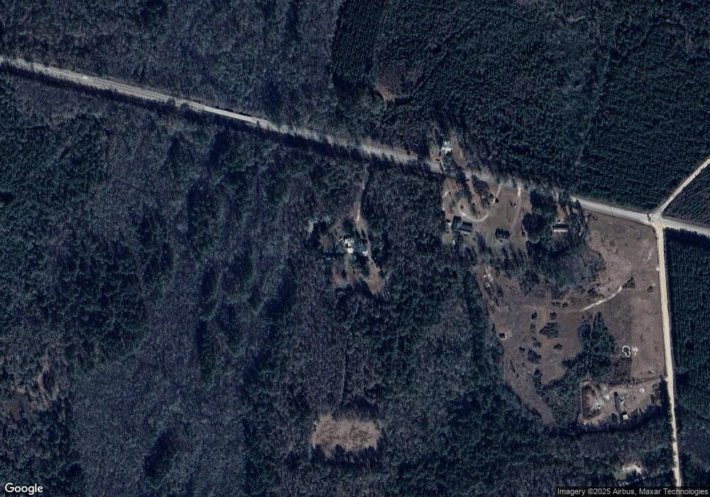
Map
Nearby Homes
- 301 Broadhurst Rd
- 0 Rogers Break Unit 1656131
- 176 Covey Way Rd
- 0 Us Highway 301
- 0N E Rd
- 7256 Manningtown Rd
- 1554 Flowers Break Rd
- 5100 Flowers Branch Rd
- 0 Dale Mill Rd
- 9009 Waycross Hwy
- 868 Broadhurst Rd W
- 2903 S Us Hwy 301
- 49 Pine Forest Dr
- 107 Gaffney St
- 12 Par Dr
- 102 Highsmith Ave
- 7132 Waycross Hwy
- 7114 Waycross Hwy
- 22 Birdie Dr
- 109 Joyner St
- 480 Broadhurst Rd
- 451 Broadhurst Rd
- 526 Broadhurst Rd
- 00 Broadhurst Gardi Rd
- 0 Broadhurst Rd E
- 88 Rogers Break Rd
- 6173 S Us Hwy 301
- 20 Broadhurst Rd E
- 8678 S Us Highway 301
- 490 Rogers Break Rd
- 967 Broadhurst Rd
- 0 Rogers Break Unit 7607800
- 0 Rogers Break Unit 161250
- 0 Rogers Break Unit 1655180
- 0 Rogers Break Unit 21157
- 0 Rogers Break Unit 18643
- 0 Rogers Break Unit 134163
- 0 Rogers Break Unit 135300
- 9399 S Us Highway 301
- 9474 S Us Highway 301