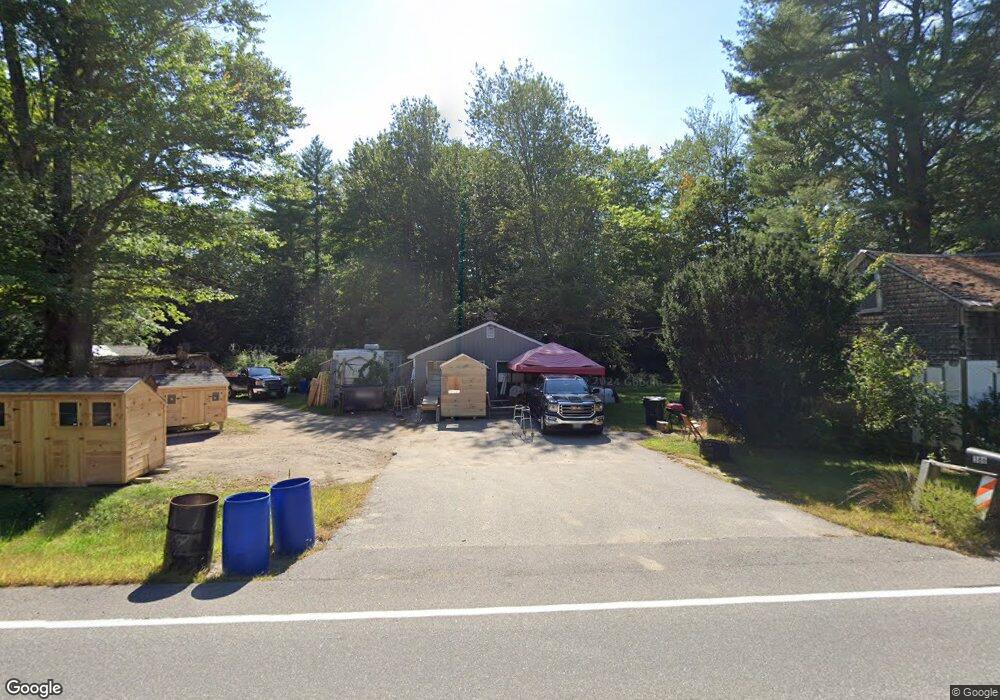
386 Buxton Rd Saco, ME 04072
North Saco NeighborhoodEstimated Value: $292,000 - $397,000
1
Bed
1
Bath
916
Sq Ft
$382/Sq Ft
Est. Value
About This Home
This home is located at 386 Buxton Rd, Saco, ME 04072 and is currently estimated at $350,331, approximately $382 per square foot. 386 Buxton Rd is a home located in York County with nearby schools including C K Burns School and Saco Middle School.
Ownership History
Date
Name
Owned For
Owner Type
Purchase Details
Closed on
Feb 9, 2022
Sold by
James P Colman Ret
Bought by
Colman James P
Current Estimated Value
Purchase Details
Closed on
May 21, 2021
Sold by
Colman James P
Bought by
James P Colman Ret
Purchase Details
Closed on
Sep 29, 2016
Sold by
Paquette Dorothy A Est
Bought by
Paquette Donna
Purchase Details
Closed on
Apr 6, 2016
Sold by
Colman Patricia A Est
Bought by
Colman James P
Create a Home Valuation Report for This Property
The Home Valuation Report is an in-depth analysis detailing your home's value as well as a comparison with similar homes in the area
Home Values in the Area
Average Home Value in this Area
Purchase History
| Date | Buyer | Sale Price | Title Company |
|---|---|---|---|
| Colman James P | -- | None Available | |
| James P Colman Ret | -- | None Available | |
| Paquette Donna | -- | -- | |
| Colman James P | -- | -- |
Source: Public Records
Tax History
| Year | Tax Paid | Tax Assessment Tax Assessment Total Assessment is a certain percentage of the fair market value that is determined by local assessors to be the total taxable value of land and additions on the property. | Land | Improvement |
|---|---|---|---|---|
| 2024 | $3,261 | $232,100 | $152,100 | $80,000 |
| 2023 | $3,423 | $232,100 | $152,100 | $80,000 |
| 2022 | $3,353 | $182,900 | $115,800 | $67,100 |
| 2021 | $3,202 | $169,600 | $104,500 | $65,100 |
| 2020 | $3,013 | $153,200 | $92,100 | $61,100 |
| 2019 | $2,969 | $153,200 | $92,100 | $61,100 |
| 2018 | $2,804 | $144,700 | $83,600 | $61,100 |
| 2017 | $2,591 | $133,700 | $76,600 | $57,100 |
| 2016 | $2,410 | $124,100 | $60,300 | $63,800 |
| 2015 | $2,341 | $121,800 | $58,600 | $63,200 |
| 2014 | $2,268 | $121,800 | $58,600 | $63,200 |
| 2013 | $2,263 | $121,800 | $58,600 | $63,200 |
Source: Public Records
Map
Nearby Homes
- 0 Simpson Rd
- 130 Heath Rd
- 4 Primrose Ln
- 158 Lord Rd
- 153 Mckenney Rd
- 181 Watson Mill Rd
- 70 Beech Plains Rd
- 0 Beech Plains Rd
- Lot 1 & 2 Memory Ln
- 4 Lebanon Rd
- 00 Miso Way
- 3 Trapper John Rd
- 5 Coltons Way
- 69 Old Orchard Rd
- 48 Tickle Way
- 4 Spool St Unit 101
- 30 Joy Valley Rd
- 281 Narragansett Trail
- 18 Buxton Rd
- 1 Shamrock Dr
Your Personal Tour Guide
Ask me questions while you tour the home.