Estimated Value: $255,000 - $295,000
3
Beds
2
Baths
2,142
Sq Ft
$124/Sq Ft
Est. Value
About This Home
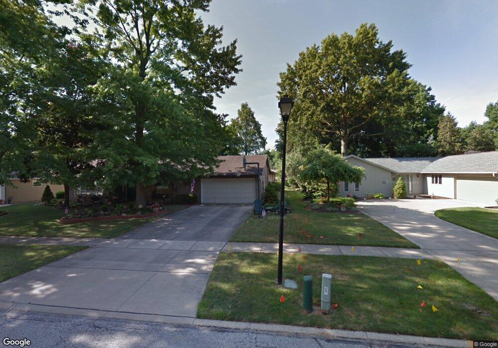
This home is located at 386 Cranston Dr, Berea, OH 44017 and is currently estimated at $266,591, approximately $124 per square foot. 386 Cranston Dr is a home located in Cuyahoga County with nearby schools including Grindstone Elementary School, Berea-Midpark Middle School, and Berea-Midpark High School.
Ownership History
Date
Name
Owned For
Owner Type
Purchase Details
Closed on
Jul 30, 2012
Sold by
Bush Joan C
Bought by
Brown Michael D
Current Estimated Value
Home Financials for this Owner
Home Financials are based on the most recent Mortgage that was taken out on this home.
Original Mortgage
$93,000
Outstanding Balance
$64,365
Interest Rate
3.65%
Mortgage Type
Purchase Money Mortgage
Estimated Equity
$202,226
Purchase Details
Closed on
Feb 9, 2010
Sold by
Estate Of Robert R Shuck
Bought by
Shuck Catherine E and The Robert R Shuck Trust
Purchase Details
Closed on
Feb 3, 2010
Sold by
Shuck Catherine E
Bought by
Burman Alice C
Purchase Details
Closed on
Dec 30, 2009
Sold by
Estate Of Frances B Shuck
Bought by
Shuck Robert R
Purchase Details
Closed on
Apr 4, 2000
Sold by
Shuck Robert R
Bought by
Shuck Robert R and Robert R Shuck Trust
Purchase Details
Closed on
Jan 1, 1975
Bought by
Shuck Robert R and F B
Create a Home Valuation Report for This Property
The Home Valuation Report is an in-depth analysis detailing your home's value as well as a comparison with similar homes in the area
Home Values in the Area
Average Home Value in this Area
Purchase History
| Date | Buyer | Sale Price | Title Company |
|---|---|---|---|
| Brown Michael D | $138,000 | Maximum Title | |
| Shuck Catherine E | -- | None Available | |
| Burman Alice C | $137,500 | Guardian Title | |
| Shuck Robert R | -- | None Available | |
| Shuck Robert R | -- | -- | |
| Shuck Robert R | -- | -- |
Source: Public Records
Mortgage History
| Date | Status | Borrower | Loan Amount |
|---|---|---|---|
| Open | Brown Michael D | $93,000 |
Source: Public Records
Tax History Compared to Growth
Tax History
| Year | Tax Paid | Tax Assessment Tax Assessment Total Assessment is a certain percentage of the fair market value that is determined by local assessors to be the total taxable value of land and additions on the property. | Land | Improvement |
|---|---|---|---|---|
| 2024 | $4,613 | $73,500 | $13,370 | $60,130 |
| 2023 | $4,254 | $61,600 | $12,110 | $49,490 |
| 2022 | $4,228 | $61,600 | $12,110 | $49,490 |
| 2021 | $4,843 | $61,600 | $12,110 | $49,490 |
| 2020 | $4,572 | $52,190 | $10,260 | $41,930 |
| 2019 | $3,896 | $149,100 | $29,300 | $119,800 |
| 2018 | $3,873 | $52,190 | $10,260 | $41,930 |
| 2017 | $3,720 | $46,490 | $9,070 | $37,420 |
| 2016 | $3,692 | $46,490 | $9,070 | $37,420 |
| 2015 | $3,489 | $46,490 | $9,070 | $37,420 |
| 2014 | $3,489 | $46,490 | $9,070 | $37,420 |
Source: Public Records
Map
Nearby Homes
- 396 Crossbrook Dr
- Passionflower II Plan at Aspire at Longbrooke
- Daffodil II Plan at Aspire at Longbrooke
- 549 Wyleswood Dr
- 543 Wyleswood Dr
- 537 Wyleswood Dr
- 517 Wyleswood Dr
- 540 Crossbrook Dr
- 405 Baldwin Dr
- 626 Ensenada Ct Unit 5
- 732 Wyleswood Dr
- 451 Edgewood Cir
- 23002 Chandlers Ln Unit 221
- 23002 Chandlers Ln
- 23002 Chandlers Ln Unit 342
- 23155 Wainwright Terrace
- 266 Race St
- 23390 Wainwright Terrace
- 294 West St
- 585 Woodmere Dr
- 404 Cranston Dr
- 404 Cranston Dr
- 392 Cranston Dr
- 398 Cranston Dr
- 396 Cranston Dr
- 416 Cranston Dr
- 401 Cranston Dr
- 403 Cranston Dr
- 388 Cranston Dr
- 450 Walleyford Dr
- 395 Cranston Dr
- 395 Cranston Dr
- 411 Cranston Dr
- 430 Cranston Dr
- 360 Cranston Dr
- 409 Cranston Dr
- 455 Walleyford Dr
- 387 Cranston Dr
- 387 Cranston Dr
- 378 Cranston Dr