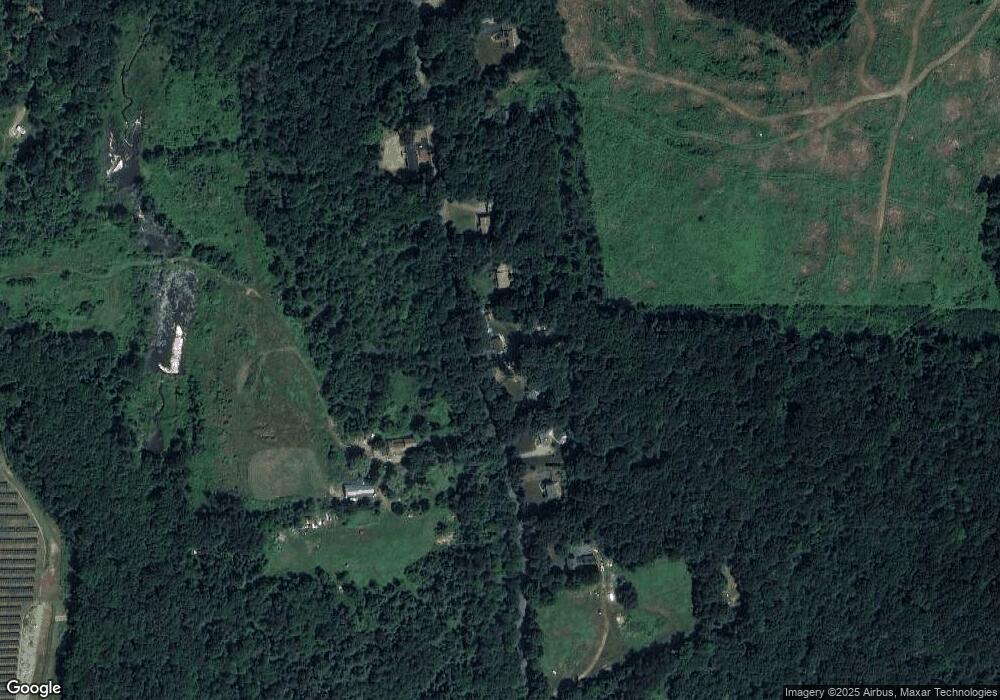
386 Cronin Rd West Brookfield, MA 01585
Estimated Value: $363,000 - $466,000
2
Beds
1
Bath
864
Sq Ft
$473/Sq Ft
Est. Value
About This Home
This home is located at 386 Cronin Rd, West Brookfield, MA 01585 and is currently estimated at $408,509, approximately $472 per square foot. 386 Cronin Rd is a home located in Worcester County with nearby schools including Quaboag Regional High School.
Ownership History
Date
Name
Owned For
Owner Type
Purchase Details
Closed on
Aug 10, 2011
Sold by
Citifinacial Inc
Bought by
Rozzen Thomas F and Rozzen Holly J
Current Estimated Value
Purchase Details
Closed on
Jul 2, 2010
Sold by
Faulkner Glen E and Citifinancial Inc
Bought by
Citifinancial Inc
Purchase Details
Closed on
Dec 27, 2001
Sold by
Skowyra Steven S
Bought by
Faulkner Glenn E and Faulkner Mary J
Home Financials for this Owner
Home Financials are based on the most recent Mortgage that was taken out on this home.
Original Mortgage
$95,200
Interest Rate
6.61%
Mortgage Type
Purchase Money Mortgage
Create a Home Valuation Report for This Property
The Home Valuation Report is an in-depth analysis detailing your home's value as well as a comparison with similar homes in the area
Home Values in the Area
Average Home Value in this Area
Purchase History
| Date | Buyer | Sale Price | Title Company |
|---|---|---|---|
| Rozzen Thomas F | $100,000 | -- | |
| Citifinancial Inc | $93,690 | -- | |
| Faulkner Glenn E | $136,000 | -- |
Source: Public Records
Mortgage History
| Date | Status | Borrower | Loan Amount |
|---|---|---|---|
| Previous Owner | Faulkner Glenn E | $95,200 |
Source: Public Records
Tax History Compared to Growth
Tax History
| Year | Tax Paid | Tax Assessment Tax Assessment Total Assessment is a certain percentage of the fair market value that is determined by local assessors to be the total taxable value of land and additions on the property. | Land | Improvement |
|---|---|---|---|---|
| 2025 | $4,056 | $273,900 | $65,400 | $208,500 |
| 2024 | $4,128 | $273,900 | $65,400 | $208,500 |
| 2023 | $4,032 | $255,200 | $65,400 | $189,800 |
| 2022 | $3,358 | $215,800 | $50,100 | $165,700 |
| 2021 | $3,283 | $205,700 | $47,400 | $158,300 |
| 2020 | $3,320 | $193,500 | $47,400 | $146,100 |
| 2019 | $3,329 | $183,400 | $47,300 | $136,100 |
| 2018 | $3,176 | $183,400 | $47,300 | $136,100 |
| 2017 | $2,777 | $149,600 | $49,200 | $100,400 |
| 2016 | $2,837 | $143,000 | $46,900 | $96,100 |
| 2015 | $2,681 | $143,000 | $46,900 | $96,100 |
| 2014 | $2,760 | $144,500 | $46,900 | $97,600 |
Source: Public Records
Map
Nearby Homes
- 18 Fox Run
- 16 Schoolhouse Cross Rd
- 1212 Southbridge Rd
- 368 Keys Rd
- 0 Brookfield Rd
- 515 Keys Rd
- 2 Tupelo Dr
- 285 Brookfield Rd
- 12 Presidential Cir
- 3 Devils Ln
- 3 Heritage Dr
- 519 East Rd
- 28 Long Hill Rd
- 238 Brookfield Rd
- 261 Little Rest Rd
- 366 Southbridge Rd
- 0 Brimfield Rd Unit 73426061
- 6 Conestoga Trail
- 6 2nd St
- 6 Stagecoach Dr
- 382 Cronin Rd
- 402 Cronin Rd
- 0 Cronin Rd Lot 2 Unit 72106708
- 0 Cronin Rd Lot 4 Unit 72106716
- 356 Cronin Rd
- 426 Cronin Rd
- 352 Cronin Rd
- 452 Cronin Rd
- 452 Cronin Rd
- 340 Cronin Rd
- 470 Cronin Rd
- 470 Cronin Rd
- 451 Cronin Rd
- 354 Cronin Rd
- 484 Cronin Rd
- Lot 69 Cronin Rd
- Lot 0 Cronin Rd
- 498 Cronin Rd
- 506 Cronin Rd
- 233 Cronin Rd
