386 Eagles Nest Ct Lake Arrowhead, CA 92352
Estimated Value: $1,377,000 - $1,574,254
5
Beds
4
Baths
2,404
Sq Ft
$619/Sq Ft
Est. Value
About This Home
This home is located at 386 Eagles Nest Ct, Lake Arrowhead, CA 92352 and is currently estimated at $1,487,751, approximately $618 per square foot. 386 Eagles Nest Ct is a home located in San Bernardino County with nearby schools including Lake Arrowhead Elementary School, Mary P. Henck Intermediate School, and Rim Of The World Senior High School.
Ownership History
Date
Name
Owned For
Owner Type
Purchase Details
Closed on
May 14, 2024
Sold by
Irving Family Trust and Irving Dean
Bought by
Sparks Susan S
Current Estimated Value
Purchase Details
Closed on
Aug 10, 2011
Sold by
Robinson Michael M and Robinson Renee A
Bought by
Irving Dean and Irving Susan
Purchase Details
Closed on
Jul 25, 2007
Sold by
Robinson Michael M and Robinson Renee Adele
Bought by
Robinson Michael M and Robinson Renee A
Home Financials for this Owner
Home Financials are based on the most recent Mortgage that was taken out on this home.
Original Mortgage
$675,000
Interest Rate
6.73%
Mortgage Type
New Conventional
Purchase Details
Closed on
Apr 25, 2005
Sold by
Robinson Michael M and Robinson Renee Adele
Bought by
Robinson Michael M and Robinson Renee A
Purchase Details
Closed on
Jun 18, 2003
Sold by
Humble Richard
Bought by
Robinson Michael M and Robinson Renee Adele
Home Financials for this Owner
Home Financials are based on the most recent Mortgage that was taken out on this home.
Original Mortgage
$392,000
Interest Rate
4.5%
Mortgage Type
Purchase Money Mortgage
Purchase Details
Closed on
Feb 10, 2000
Sold by
Brown Gary L Tr
Bought by
Humble Richard
Home Financials for this Owner
Home Financials are based on the most recent Mortgage that was taken out on this home.
Original Mortgage
$364,500
Interest Rate
4.95%
Purchase Details
Closed on
Mar 6, 1995
Sold by
Brown Gary L and Brown Charline R
Bought by
Brown Gary L and Brown Charline R
Purchase Details
Closed on
Nov 15, 1994
Sold by
Freiborg Ben
Bought by
Brown Gary L and Brown Charline R
Home Financials for this Owner
Home Financials are based on the most recent Mortgage that was taken out on this home.
Original Mortgage
$326,250
Interest Rate
6.53%
Create a Home Valuation Report for This Property
The Home Valuation Report is an in-depth analysis detailing your home's value as well as a comparison with similar homes in the area
Home Values in the Area
Average Home Value in this Area
Purchase History
| Date | Buyer | Sale Price | Title Company |
|---|---|---|---|
| Sparks Susan S | -- | None Listed On Document | |
| Irving Dean | $795,000 | First American Title Company | |
| Robinson Michael M | -- | Fidelity National Title | |
| Robinson Michael M | -- | Fidelity National Title Co | |
| Robinson Michael M | -- | -- | |
| Robinson Michael M | $490,000 | Fidelity National Title | |
| Humble Richard | $405,000 | Commonwealth Land Title Co | |
| Brown Gary L | -- | -- | |
| Brown Gary L | $435,000 | Chicago Title Company |
Source: Public Records
Mortgage History
| Date | Status | Borrower | Loan Amount |
|---|---|---|---|
| Previous Owner | Robinson Michael M | $675,000 | |
| Previous Owner | Robinson Michael M | $392,000 | |
| Previous Owner | Humble Richard | $364,500 | |
| Previous Owner | Brown Gary L | $326,250 |
Source: Public Records
Tax History Compared to Growth
Tax History
| Year | Tax Paid | Tax Assessment Tax Assessment Total Assessment is a certain percentage of the fair market value that is determined by local assessors to be the total taxable value of land and additions on the property. | Land | Improvement |
|---|---|---|---|---|
| 2025 | $10,079 | $943,046 | $251,212 | $691,834 |
| 2024 | $10,079 | $924,555 | $246,286 | $678,269 |
| 2023 | $9,907 | $899,426 | $241,457 | $657,969 |
| 2022 | $9,704 | $881,791 | $236,723 | $645,068 |
| 2021 | $9,597 | $864,501 | $232,081 | $632,420 |
| 2020 | $9,603 | $855,636 | $229,701 | $625,935 |
| 2019 | $9,346 | $838,859 | $225,197 | $613,662 |
| 2018 | $9,140 | $822,410 | $220,781 | $601,629 |
| 2017 | $8,969 | $806,284 | $216,452 | $589,832 |
| 2016 | $8,789 | $790,475 | $212,208 | $578,267 |
| 2015 | $8,752 | $778,601 | $209,020 | $569,581 |
| 2014 | $8,549 | $763,350 | $204,926 | $558,424 |
Source: Public Records
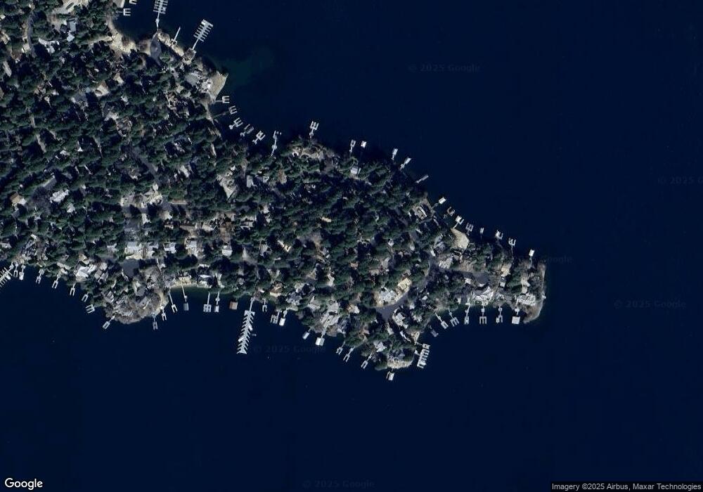
Map
Nearby Homes
- 28027 Peninsula Dr N
- 407 Giant Oak Cir
- 27990 N Peninsula Dr N
- 468 Sky View Ridge
- 0 Village Bay
- 28050 State Hwy 189 Unit 212
- 27821 Peninsula Dr Unit 405
- 27821 Peninsula Dr Unit 328
- 27821 Peninsula Dr
- 27453 Bayshore Dr
- 28041 Lakes Edge Rd
- 27772 Hamiltair Dr
- 27981 Lakes Edge Rd
- 28087 N Shore Rd
- 28061 N Shore Rd
- 226 Holiday Dr
- 222 Holiday Dr
- 242 Holiday Dr
- 27530 N Bay Rd
- 28288 N Bay Rd
- 382 Eagles Nest Ct
- 28060 Peninsula Dr N
- 28045 Peninsula Dr N
- 28065 Peninsula Dr
- 28065 Peninsula N
- 28050 Peninsula Dr N
- 394 Eagles Nest Ct
- 28040 Peninsula Dr N
- 28070 Peninsula Dr N
- 28075 Penninsula Dr
- 387 Eagles Nest Ct
- 28021 N Peninsula Dr
- 28030 N Peninsula Dr N
- 28080 Peninsula Dr N
- 383 Eagles Nest Ct
- 28098 N Peninsula Dr N
- 399 Giant Oak Cir
- 28020 N Peninsula Dr N
- 28078 Peninsula Dr S
- 28096 Point Hamiltair Ln