386 Meadow Cir N Big Bear Lake, CA 92315
Estimated Value: $968,000 - $1,283,000
3
Beds
4
Baths
2,300
Sq Ft
$492/Sq Ft
Est. Value
About This Home
This home is located at 386 Meadow Cir N, Big Bear Lake, CA 92315 and is currently estimated at $1,131,986, approximately $492 per square foot. 386 Meadow Cir N is a home located in San Bernardino County with nearby schools including Big Bear Middle School, Big Bear High School, and Calvary Chapel Big Bear Christian School.
Ownership History
Date
Name
Owned For
Owner Type
Purchase Details
Closed on
May 24, 2010
Sold by
Moayeri Mojtaba
Bought by
Moayeri Mojtaba and Moayeri Mehrnaz
Current Estimated Value
Purchase Details
Closed on
Feb 10, 2010
Sold by
Lasalle Bank National Association
Bought by
Moayeri Mojtaba and Moayeri Mehrnaz
Home Financials for this Owner
Home Financials are based on the most recent Mortgage that was taken out on this home.
Original Mortgage
$496,600
Interest Rate
5.02%
Mortgage Type
New Conventional
Purchase Details
Closed on
Feb 11, 2009
Sold by
Halvorsen Kenneth
Bought by
Lasalle Bank National Association
Purchase Details
Closed on
Oct 20, 2006
Sold by
Gilligan Bradly Eric
Bought by
Halvorsen Kenneth
Home Financials for this Owner
Home Financials are based on the most recent Mortgage that was taken out on this home.
Original Mortgage
$1,200,000
Interest Rate
5.8%
Mortgage Type
Stand Alone First
Purchase Details
Closed on
Mar 9, 2005
Sold by
Burns Patrick L
Bought by
Gilligan Bradly Eric
Home Financials for this Owner
Home Financials are based on the most recent Mortgage that was taken out on this home.
Original Mortgage
$788,000
Interest Rate
5.62%
Mortgage Type
Purchase Money Mortgage
Purchase Details
Closed on
Mar 21, 2000
Sold by
Green Ronald E Tr
Bought by
Burns Patrick L and Burns Kathryn L
Home Financials for this Owner
Home Financials are based on the most recent Mortgage that was taken out on this home.
Original Mortgage
$1,000,000
Interest Rate
8.26%
Mortgage Type
Purchase Money Mortgage
Purchase Details
Closed on
Jul 21, 1998
Sold by
Hillard Timothy
Bought by
Green Ronald E and Green Sharon L
Home Financials for this Owner
Home Financials are based on the most recent Mortgage that was taken out on this home.
Original Mortgage
$189,000
Interest Rate
6.9%
Mortgage Type
Seller Take Back
Purchase Details
Closed on
Apr 19, 1998
Sold by
Hilliard Allen R and Hilliard Marie E
Bought by
Hilliard Timothy
Purchase Details
Closed on
Apr 15, 1996
Sold by
Hilliard Allen R
Bought by
Hilliard Allen R and Hilliard Marie E
Create a Home Valuation Report for This Property
The Home Valuation Report is an in-depth analysis detailing your home's value as well as a comparison with similar homes in the area
Home Values in the Area
Average Home Value in this Area
Purchase History
| Date | Buyer | Sale Price | Title Company |
|---|---|---|---|
| Moayeri Mojtaba | -- | None Available | |
| Moayeri Mojtaba | $764,000 | Ticor Title Company | |
| Lasalle Bank National Association | $772,539 | Accommodation | |
| Halvorsen Kenneth | $1,500,000 | Commonwealth Land Title Co | |
| Gilligan Bradly Eric | $985,000 | Commonwealth Title | |
| Burns Patrick L | $783,000 | First American Title Ins Co | |
| Green Ronald E | $589,000 | Fidelity National Title Ins | |
| Hilliard Timothy | -- | Fidelity National Title Ins | |
| Hilliard Allen R | -- | First American Title Ins Co |
Source: Public Records
Mortgage History
| Date | Status | Borrower | Loan Amount |
|---|---|---|---|
| Closed | Moayeri Mojtaba | $496,600 | |
| Previous Owner | Halvorsen Kenneth | $1,200,000 | |
| Previous Owner | Gilligan Bradly Eric | $788,000 | |
| Previous Owner | Burns Patrick L | $1,000,000 | |
| Previous Owner | Green Ronald E | $189,000 |
Source: Public Records
Tax History Compared to Growth
Tax History
| Year | Tax Paid | Tax Assessment Tax Assessment Total Assessment is a certain percentage of the fair market value that is determined by local assessors to be the total taxable value of land and additions on the property. | Land | Improvement |
|---|---|---|---|---|
| 2025 | $11,370 | $986,192 | $469,861 | $516,331 |
| 2024 | $11,370 | $966,855 | $460,648 | $506,207 |
| 2023 | $11,136 | $947,897 | $451,616 | $496,281 |
| 2022 | $10,805 | $929,311 | $442,761 | $486,550 |
| 2021 | $10,514 | $911,089 | $434,079 | $477,010 |
| 2020 | $10,705 | $901,747 | $429,628 | $472,119 |
| 2019 | $10,431 | $884,066 | $421,204 | $462,862 |
| 2018 | $10,082 | $866,731 | $412,945 | $453,786 |
| 2017 | $9,847 | $849,736 | $404,848 | $444,888 |
| 2016 | $9,635 | $833,075 | $396,910 | $436,165 |
| 2015 | $9,558 | $820,561 | $390,948 | $429,613 |
| 2014 | $9,452 | $804,487 | $383,290 | $421,197 |
Source: Public Records
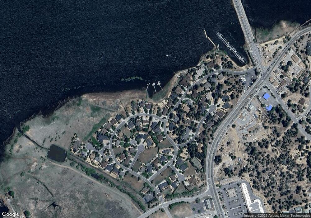
Map
Nearby Homes
- 0 Pinto Ct
- 275 Meadow Cir N
- 0 Marina Ct
- 41881 Marina Ct
- 42136 Scandia Ct
- 42165 Big Bear Blvd
- 0 Sandalwood Dr
- 194 Sandalwood Dr
- 100 Business Center Dr
- 463 Windsong Place
- 550 Eagle Ridge
- 0 Marina Point Dr
- 41598 Stone Bridge Rd
- 199 Pinecrest Dr
- 125 Starvation Flats Rd
- 216 Alp Ct
- 42400 Eagle Ridge
- 42400 Eagle Ridge Dr
- 41771 Swan Dr
- 0 Fox Farm Rd
- 386 Meadow Cir
- 384 Meadow Cir N
- 41980 Eagles Nest
- 382 Meadow Cir N
- 41980 Eagles Nest
- 41983 Eagles Nest
- 377 Meadow Cir N
- 380 Meadow Cir N
- 41998 Eagles Nest
- 41983 S Eagles Nest
- 363 Meadow Cir S
- 41983 Eagles Nest
- 363 Meadow Cir N
- 378 Meadow Cir N
- 41993 Eagles Nest Dr
- 371 Meadow Cir N
- 350 Meadow Cir
- 42004 Eagles Nest
- 42001 Eagles Nest Rd
- 41998 Eagles Nest