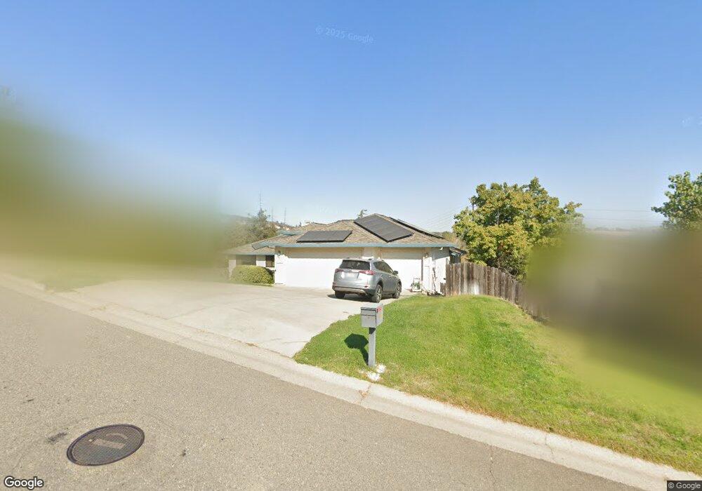
386 Platt Cir El Dorado Hills, CA 95762
Estimated Value: $559,000 - $804,000
4
Beds
3
Baths
2,199
Sq Ft
$331/Sq Ft
Est. Value
About This Home
This home is located at 386 Platt Cir, El Dorado Hills, CA 95762 and is currently estimated at $727,998, approximately $331 per square foot. 386 Platt Cir is a home located in El Dorado County with nearby schools including William Brooks Elementary School, Rolling Hills Middle School, and Oak Ridge High School.
Ownership History
Date
Name
Owned For
Owner Type
Purchase Details
Closed on
Oct 14, 2002
Sold by
Grundmann William J and Rixmann Donna J
Bought by
Grundmann William J and Rixmann Donna J
Current Estimated Value
Purchase Details
Closed on
Nov 11, 1993
Sold by
Fn Development Co Bravo
Bought by
Grundmann William J and Rixmann Donna J
Home Financials for this Owner
Home Financials are based on the most recent Mortgage that was taken out on this home.
Original Mortgage
$172,000
Interest Rate
3.87%
Create a Home Valuation Report for This Property
The Home Valuation Report is an in-depth analysis detailing your home's value as well as a comparison with similar homes in the area
Home Values in the Area
Average Home Value in this Area
Purchase History
| Date | Buyer | Sale Price | Title Company |
|---|---|---|---|
| Grundmann William J | -- | -- | |
| Grundmann William J | $192,000 | First American Title Co |
Source: Public Records
Mortgage History
| Date | Status | Borrower | Loan Amount |
|---|---|---|---|
| Closed | Grundmann William J | $172,000 |
Source: Public Records
Tax History Compared to Growth
Tax History
| Year | Tax Paid | Tax Assessment Tax Assessment Total Assessment is a certain percentage of the fair market value that is determined by local assessors to be the total taxable value of land and additions on the property. | Land | Improvement |
|---|---|---|---|---|
| 2025 | $3,538 | $326,303 | $101,959 | $224,344 |
| 2024 | $3,538 | $319,906 | $99,960 | $219,946 |
| 2023 | $3,328 | $313,634 | $98,000 | $215,634 |
| 2022 | $3,307 | $307,485 | $96,079 | $211,406 |
| 2021 | $3,369 | $301,457 | $94,196 | $207,261 |
| 2020 | $3,327 | $298,367 | $93,231 | $205,136 |
| 2019 | $3,287 | $292,517 | $91,403 | $201,114 |
| 2018 | $3,171 | $286,782 | $89,611 | $197,171 |
| 2017 | $3,081 | $281,159 | $87,854 | $193,305 |
| 2016 | $3,088 | $278,868 | $86,132 | $192,736 |
| 2015 | $3,034 | $274,436 | $84,839 | $189,597 |
| 2014 | $3,034 | $268,853 | $83,178 | $185,675 |
Source: Public Records
Map
Nearby Homes
- 377 Platt Cir
- 6281 Ottawa St
- 6261 Ottawa St
- 6225 Ottawa St
- 6230 Ottawa St
- 6191 Ottawa St
- 6210 Ottawa St
- 2513PON The Lucerne Plan at Saratoga Estates - Poderosa
- 2664PON The Clover Plan at Saratoga Estates - Poderosa
- 2437PON The Brome Plan at Saratoga Estates - Poderosa
- 6165 Ottawa St
- 6170 Ottawa St
- 6211 Ottawa St
- 6150 Ottawa St
- 6140 Ottawa St
- 6130 Ottawa St
- 6110 Ottawa St
- 1280 Seneca Cir
- 3896 Arrowhead Dr
- 1207 Seneca Cir