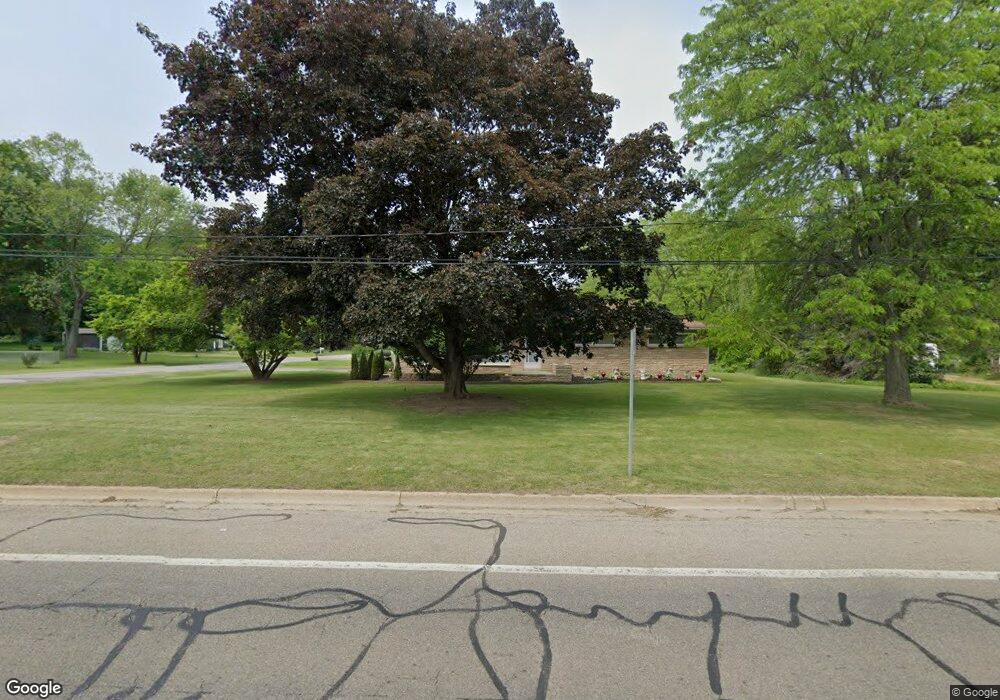
386 Riverside Dr Battle Creek, MI 49015
Central Battle Creek NeighborhoodEstimated Value: $172,000 - $226,125
3
Beds
2
Baths
2,105
Sq Ft
$93/Sq Ft
Est. Value
About This Home
This home is located at 386 Riverside Dr, Battle Creek, MI 49015 and is currently estimated at $196,531, approximately $93 per square foot. 386 Riverside Dr is a home located in Calhoun County with nearby schools including Lakeview Middle School, Lakeview High School, and Arbor Academy.
Ownership History
Date
Name
Owned For
Owner Type
Purchase Details
Closed on
Oct 7, 2008
Sold by
Anderson Nicole Mcgee
Bought by
Anderson Devin Delaine and Anderson Nicole Mcgee
Current Estimated Value
Purchase Details
Closed on
Apr 10, 2008
Sold by
Fannie Mae
Bought by
Mcgee Nicole
Home Financials for this Owner
Home Financials are based on the most recent Mortgage that was taken out on this home.
Original Mortgage
$69,903
Outstanding Balance
$44,740
Interest Rate
6.17%
Mortgage Type
FHA
Estimated Equity
$151,791
Purchase Details
Closed on
Dec 28, 2007
Sold by
Mortgage Electronic Registration Systems
Bought by
Federal National Mortgage Association
Purchase Details
Closed on
Mar 2, 2007
Sold by
Shump George T
Bought by
Mortgage Electronic Registration Systems
Purchase Details
Closed on
Sep 4, 2001
Bought by
Shump George T
Create a Home Valuation Report for This Property
The Home Valuation Report is an in-depth analysis detailing your home's value as well as a comparison with similar homes in the area
Home Values in the Area
Average Home Value in this Area
Purchase History
| Date | Buyer | Sale Price | Title Company |
|---|---|---|---|
| Anderson Devin Delaine | -- | None Available | |
| Mcgee Nicole | $71,000 | -- | |
| Federal National Mortgage Association | -- | None Available | |
| Mortgage Electronic Registration Systems | $145,226 | None Available | |
| Shump George T | -- | -- |
Source: Public Records
Mortgage History
| Date | Status | Borrower | Loan Amount |
|---|---|---|---|
| Open | Mcgee Nicole | $69,903 |
Source: Public Records
Tax History Compared to Growth
Tax History
| Year | Tax Paid | Tax Assessment Tax Assessment Total Assessment is a certain percentage of the fair market value that is determined by local assessors to be the total taxable value of land and additions on the property. | Land | Improvement |
|---|---|---|---|---|
| 2025 | -- | $102,600 | $0 | $0 |
| 2024 | $2,270 | $95,707 | $0 | $0 |
| 2023 | $2,654 | $84,915 | $0 | $0 |
| 2022 | $2,051 | $73,028 | $0 | $0 |
| 2021 | $2,587 | $67,801 | $0 | $0 |
| 2020 | $2,437 | $73,453 | $0 | $0 |
| 2019 | $2,437 | $71,905 | $0 | $0 |
| 2018 | $2,437 | $70,953 | $6,570 | $64,383 |
| 2017 | $2,357 | $65,083 | $0 | $0 |
| 2016 | $2,353 | $62,974 | $0 | $0 |
| 2015 | $2,124 | $58,313 | $6,878 | $51,435 |
| 2014 | $2,124 | $47,685 | $6,878 | $40,807 |
Source: Public Records
Map
Nearby Homes
- 3 Riverside Pkwy
- 77 Leitch Dr
- 15 Marine Dr
- 1 Grand Blvd
- 32 Territorial Rd E
- 41 Randolph St
- 51 Pauline Ave
- 112 Darragh Dr
- 17 Tennyson Ave
- 127 W Territorial Rd
- 245 Columbia Ave E
- 137 Fairfield Ave
- 35 Eldred St
- 503 S Shore Dr
- 57 Boulder St
- 71 Burnham St W
- 296 Meachem Ave
- 235 Fairfield Ave
- 519 S Shore Dr
- 66 Cleveland St
- 4 Riverside Pkwy
- 4 Riverside Pkwy
- 4 Riverside Pkwy Unit 6
- 380 Riverside Dr
- 8 Riverside Pkwy
- 385 Riverside Dr
- 383 Riverside Dr
- 12 Riverside Pkwy
- 400 Riverside Dr
- 0 Riverside Pkwy Unit 64025032327
- 0 Riverside Pkwy Unit 25032327
- 0 Riverside Pkwy Unit 23027410
- 0 Riverside Pkwy Unit 64022032524
- 0 Riverside Pkwy Unit 22032524
- 0 Riverside Pkwy Unit M21035191
- 0 Riverside Pkwy Unit 64021027094
- 0 Riverside Pkwy Unit 21027094
- 0 Riverside Pkwy
- 16 Riverside Pkwy
- 404 Riverside Dr