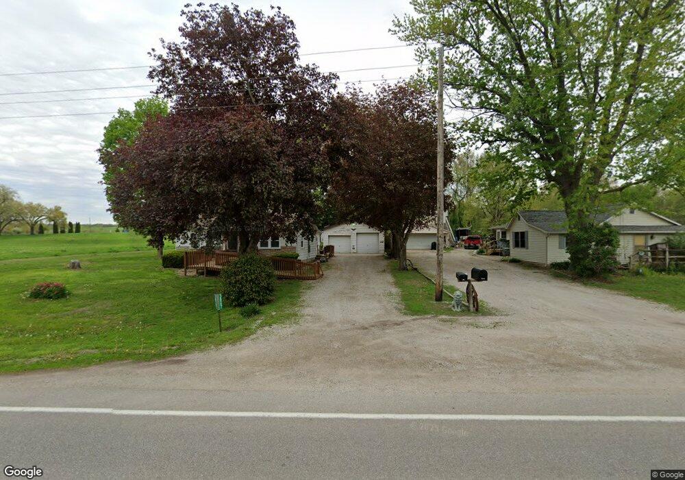
3867 Highway 22 Montpelier, IA 52759
Estimated Value: $125,522 - $221,000
2
Beds
1
Bath
1,338
Sq Ft
$128/Sq Ft
Est. Value
About This Home
This home is located at 3867 Highway 22, Montpelier, IA 52759 and is currently estimated at $171,631, approximately $128 per square foot. 3867 Highway 22 is a home with nearby schools including Muskie Early Learning Center, Madison Elementary School, and Central Middle School.
Ownership History
Date
Name
Owned For
Owner Type
Purchase Details
Closed on
Jun 16, 2023
Sold by
Davis Wilma Lee
Bought by
Dau Cheryl G and Brown Staci J
Current Estimated Value
Home Financials for this Owner
Home Financials are based on the most recent Mortgage that was taken out on this home.
Original Mortgage
$107,350
Outstanding Balance
$104,573
Interest Rate
6.57%
Mortgage Type
New Conventional
Estimated Equity
$67,058
Create a Home Valuation Report for This Property
The Home Valuation Report is an in-depth analysis detailing your home's value as well as a comparison with similar homes in the area
Home Values in the Area
Average Home Value in this Area
Purchase History
| Date | Buyer | Sale Price | Title Company |
|---|---|---|---|
| Dau Cheryl G | $113,000 | Gomez Title |
Source: Public Records
Mortgage History
| Date | Status | Borrower | Loan Amount |
|---|---|---|---|
| Open | Dau Cheryl G | $107,350 |
Source: Public Records
Tax History Compared to Growth
Tax History
| Year | Tax Paid | Tax Assessment Tax Assessment Total Assessment is a certain percentage of the fair market value that is determined by local assessors to be the total taxable value of land and additions on the property. | Land | Improvement |
|---|---|---|---|---|
| 2025 | $1,130 | $117,610 | $35,510 | $82,100 |
| 2024 | $1,130 | $117,190 | $35,510 | $81,680 |
| 2023 | $1,366 | $116,939 | $35,510 | $81,429 |
| 2022 | $1,256 | $115,390 | $33,500 | $81,890 |
| 2021 | $1,256 | $103,960 | $33,500 | $70,460 |
| 2020 | $1,196 | $95,430 | $26,930 | $68,500 |
| 2019 | $1,238 | $93,150 | $0 | $0 |
| 2018 | $1,200 | $92,790 | $0 | $0 |
| 2017 | $1,200 | $92,650 | $0 | $0 |
| 2016 | $1,262 | $92,650 | $0 | $0 |
| 2015 | $1,262 | $97,870 | $0 | $0 |
| 2014 | $1,356 | $95,910 | $0 | $0 |
Source: Public Records
Map
Nearby Homes
- 1875 Stagecoach Ln
- 6203 116th St
- 6218 114th St
- 11640 61st Avenue Place
- 15625 80th Ave W
- 6594 116th St
- 12505 70th Ave
- 3701 165th St
- 3881 Highway 61
- 1240 Spruce St
- 401 Dolan Dr
- 508 Prairie Meadow Dr
- 501 Prairie Meadow Dr
- 680 Sweet Wood Ln
- 423 Kevin Rd
- 126 S Genessee St
- 0 Liberty Park Unit RMAQC4245458
- 707 3rd St
- 13109 83rd Ave
- 636 3rd St
- 3870 3rd St
- 1956 Tombstone Trail
- 1954 Tombstone Trail
- 3886 2nd St
- 3899 3rd St
- 3893 3rd St
- 3891 3rd St
- 1960 Tombstone Trail
- 1961 Tombstone Trail
- 3877 Highway 22
- 1955 Tombstone Trail
- 3869 3rd St
- 3876 3rd St
- 3879 Highway 22
- 1952 Tombstone Trail
- 3878 3rd St
- 3867 2nd St
- 3877 3rd St
- 3867 4th St
- 3865 4th St