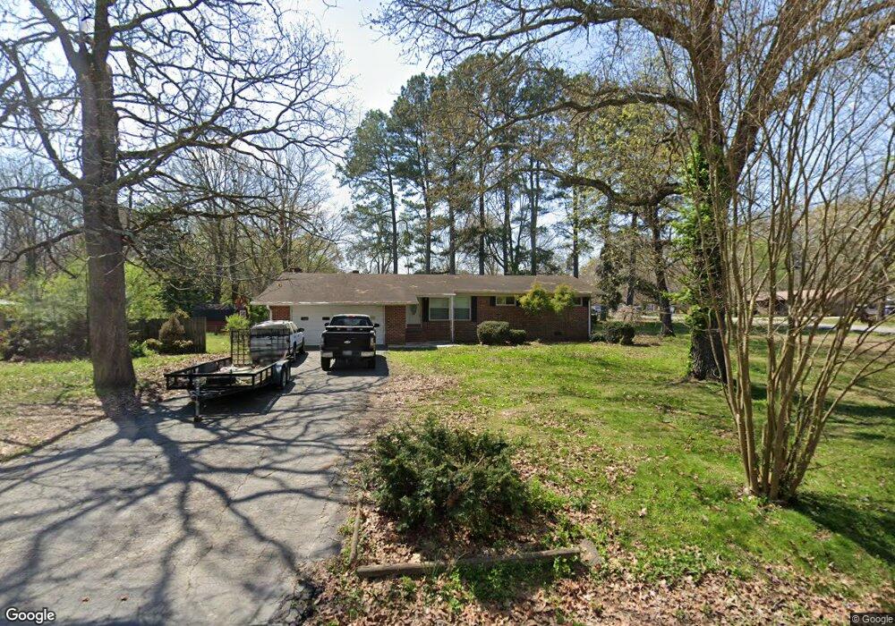
387 Rogers Dr Manchester, TN 37355
Estimated Value: $206,644 - $289,000
--
Bed
2
Baths
1,525
Sq Ft
$163/Sq Ft
Est. Value
About This Home
This home is located at 387 Rogers Dr, Manchester, TN 37355 and is currently estimated at $248,661, approximately $163 per square foot. 387 Rogers Dr is a home located in Coffee County with nearby schools including Westwood Middle School and Temple Baptist Christian School.
Ownership History
Date
Name
Owned For
Owner Type
Purchase Details
Closed on
Nov 18, 2015
Sold by
Wells Fargo Bank National Association Tr
Bought by
Parker Carl
Current Estimated Value
Purchase Details
Closed on
Jun 19, 2015
Sold by
Davis John W
Bought by
Wells Fargo Bank National Association Tr and Home Equity Loan Trust
Purchase Details
Closed on
Mar 12, 2004
Sold by
Davis John William
Bought by
Davis John William
Home Financials for this Owner
Home Financials are based on the most recent Mortgage that was taken out on this home.
Original Mortgage
$72,250
Interest Rate
7.4%
Create a Home Valuation Report for This Property
The Home Valuation Report is an in-depth analysis detailing your home's value as well as a comparison with similar homes in the area
Home Values in the Area
Average Home Value in this Area
Purchase History
| Date | Buyer | Sale Price | Title Company |
|---|---|---|---|
| Parker Carl | $68,000 | -- | |
| Wells Fargo Bank National Association Tr | $91,541 | -- | |
| Davis John William | -- | -- |
Source: Public Records
Mortgage History
| Date | Status | Borrower | Loan Amount |
|---|---|---|---|
| Previous Owner | Davis John William | $72,250 |
Source: Public Records
Tax History Compared to Growth
Tax History
| Year | Tax Paid | Tax Assessment Tax Assessment Total Assessment is a certain percentage of the fair market value that is determined by local assessors to be the total taxable value of land and additions on the property. | Land | Improvement |
|---|---|---|---|---|
| 2024 | $1,296 | $30,750 | $5,500 | $25,250 |
| 2023 | $1,296 | $30,750 | $0 | $0 |
| 2022 | $1,116 | $30,750 | $5,500 | $25,250 |
| 2021 | $1,079 | $23,550 | $3,500 | $20,050 |
| 2020 | $643 | $23,550 | $3,500 | $20,050 |
| 2019 | $1,079 | $23,550 | $3,500 | $20,050 |
| 2018 | $1,079 | $23,550 | $3,500 | $20,050 |
| 2017 | $1,134 | $21,625 | $3,500 | $18,125 |
| 2016 | $1,134 | $21,625 | $3,500 | $18,125 |
| 2015 | $1,134 | $21,625 | $3,500 | $18,125 |
| 2014 | -- | $21,621 | $0 | $0 |
Source: Public Records
Map
Nearby Homes
- 1306 Mcmahan St
- 112 Reynard St
- 1203 Edgewood Dr
- 121 Regalwood Dr
- 1003 Kennedy Dr
- 355 W Doak Rd
- 23 Regalwood Dr
- 1841 Hills Chapel Rd
- 142 Heritage Cir
- 0 Forrestwood Dr
- 422 Heritage Cir
- Lot 51 Philips
- 905 Royal Trail
- 1619 Hills Chapel Rd
- 195 Hamilton Ct
- 12 Fox Creek Ct
- 310 Indian Springs Cir
- 913 Indian Springs Cir
- 1212 Woodcrest Dr
- 1550 S Spring St
- 1308 Royal Trail
- 361 Rogers Dr
- 388 Rogers Dr
- 1309 Royal Trail
- 1311 Royal Trail
- 341 Rogers Dr
- 1307 Royal Trail
- 1306 Royal Trail
- 1402 Royal Trail
- 362 Rogers Dr
- 1305 Royal Trail
- 1403 Royal Trail
- 1404 Royal Trail
- 313 Rogers Dr
- 328 Rogers Dr
- 1303 Royal Trail
- 1302 Royal Trail
- 1707 5th Ave
- 1705 5th Ave
- 1709 5th Ave