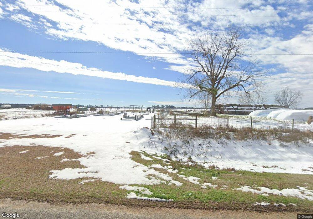
387 Whigham Rd Whigham, GA 39897
Estimated Value: $187,000 - $304,074
About This Home
This home is located at 387 Whigham Rd, Whigham, GA 39897 and is currently estimated at $257,019, approximately $115 per square foot. 387 Whigham Rd is a home.
Ownership History
We collect this data history from publicly available records. To have your information removed, we recommend requesting removal directly through your county’s website.
Purchase Details
Home Financials for this Owner
Home Financials are based on the most recent Mortgage that was taken out on this home.Purchase Details
Home Financials for this Owner
Home Financials are based on the most recent Mortgage that was taken out on this home.Purchase Details
Purchase History
We collect this data history from publicly available records. To have your information removed, we recommend requesting removal directly through your county’s website.
| Date | Buyer | Sale Price | Title Company |
|---|---|---|---|
| $108,000 | -- | ||
| $109,230 | -- | ||
| $3,709 | -- |
Mortgage History
We collect this data history from publicly available records. To have your information removed, we recommend requesting removal directly through your county’s website.
| Date | Status | Borrower | Loan Amount |
|---|---|---|---|
| Closed | $50,000 | ||
| Closed | $102,600 |
Tax History
We collect this data history from publicly available records. To have your information removed, we recommend requesting removal directly through your county’s website.
| Year | Tax Paid | Tax Assessment Tax Assessment Total Assessment is a certain percentage of the fair market value that is determined by local assessors to be the total taxable value of land and additions on the property. | Land | Improvement |
|---|---|---|---|---|
| 2025 | $2,119 | $110,589 | $8,803 | $101,786 |
| 2024 | $2,119 | $88,701 | $8,803 | $79,898 |
| 2023 | $1,528 | $51,635 | $5,616 | $46,019 |
| 2022 | $1,528 | $51,635 | $5,616 | $46,019 |
| 2021 | $1,516 | $60,083 | $5,616 | $54,467 |
Map
- 200 Mimosa Ln
- 370 Morrison Rd
- 53 +/- A Bond Rd
- 565 Bond Rd
- 1741 Ga Highway 112 N
- 000 Noles Rd
- Lot #7 Wade Rd Unit 7
- 374 Cain Rd
- 374 Cain Rd (23+ - Acres)
- 1521 Stage Coach Rd
- 0 N 111 Hwy
- Rich Rd
- 1016 Richter Rd
- 0 Cal Thomas Rd
- 835 Mill Pond Rd
- 425 Woodridge Ln
- 415 Woodridge Ln
- 397 Woodridge Ln
- 462 Woodridge Ln
- 142 Scott Rd
Ask me questions while you tour the home.