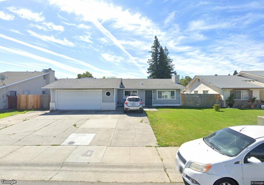
3870 Samos Way Sacramento, CA 95823
Estimated Value: $337,000 - $479,000
4
Beds
2
Baths
1,505
Sq Ft
$273/Sq Ft
Est. Value
About This Home
This home is located at 3870 Samos Way, Sacramento, CA 95823 and is currently estimated at $410,251, approximately $272 per square foot. 3870 Samos Way is a home located in Sacramento County with nearby schools including Union House Elementary School, Samuel Jackman Middle School, and Valley High School.
Ownership History
Date
Name
Owned For
Owner Type
Purchase Details
Closed on
Dec 28, 2004
Sold by
Taborda Vilma and Taborda Jamie
Bought by
Taborda Jaime and Taborda Vilma
Current Estimated Value
Home Financials for this Owner
Home Financials are based on the most recent Mortgage that was taken out on this home.
Original Mortgage
$172,000
Outstanding Balance
$86,553
Interest Rate
5.7%
Mortgage Type
New Conventional
Estimated Equity
$323,698
Create a Home Valuation Report for This Property
The Home Valuation Report is an in-depth analysis detailing your home's value as well as a comparison with similar homes in the area
Home Values in the Area
Average Home Value in this Area
Purchase History
| Date | Buyer | Sale Price | Title Company |
|---|---|---|---|
| Taborda Jaime | -- | Alliance Title Company |
Source: Public Records
Mortgage History
| Date | Status | Borrower | Loan Amount |
|---|---|---|---|
| Open | Taborda Jaime | $172,000 |
Source: Public Records
Tax History Compared to Growth
Tax History
| Year | Tax Paid | Tax Assessment Tax Assessment Total Assessment is a certain percentage of the fair market value that is determined by local assessors to be the total taxable value of land and additions on the property. | Land | Improvement |
|---|---|---|---|---|
| 2025 | $2,136 | $167,958 | $53,032 | $114,926 |
| 2024 | $2,136 | $164,666 | $51,993 | $112,673 |
| 2023 | $2,076 | $161,438 | $50,974 | $110,464 |
| 2022 | $2,053 | $158,274 | $49,975 | $108,299 |
| 2021 | $2,019 | $155,172 | $48,996 | $106,176 |
| 2020 | $1,987 | $153,582 | $48,494 | $105,088 |
| 2019 | $1,951 | $150,572 | $47,544 | $103,028 |
| 2018 | $1,899 | $147,620 | $46,612 | $101,008 |
| 2017 | $1,862 | $144,727 | $45,699 | $99,028 |
| 2016 | $1,683 | $141,890 | $44,803 | $97,087 |
| 2015 | $1,645 | $139,760 | $44,131 | $95,629 |
| 2014 | $1,627 | $137,023 | $43,267 | $93,756 |
Source: Public Records
Map
Nearby Homes
- 3765 Samos Way
- 3950 Mack Rd Unit 182
- 3950 Mack Rd Unit 129
- 3950 Mack Rd Unit 169
- 3950 Mack Rd Unit 175
- 7718 Laurie Way
- 7682 Detroit Blvd
- 192 Creekside Cir
- 4102 Weymouth Ln
- 197 Creekside Cir
- 4110 Weymouth Ln
- 4075 Weymouth Ln
- 3985 Limestone Way
- 7570 Burgoyne Ln
- 4054 Weymouth Ln
- 410 Sun Shower Cir
- 7827 Deer Meadow Dr
- 4223 Savannah Ln
- 3930 Shining Star Dr
- 7884 White Stag Way