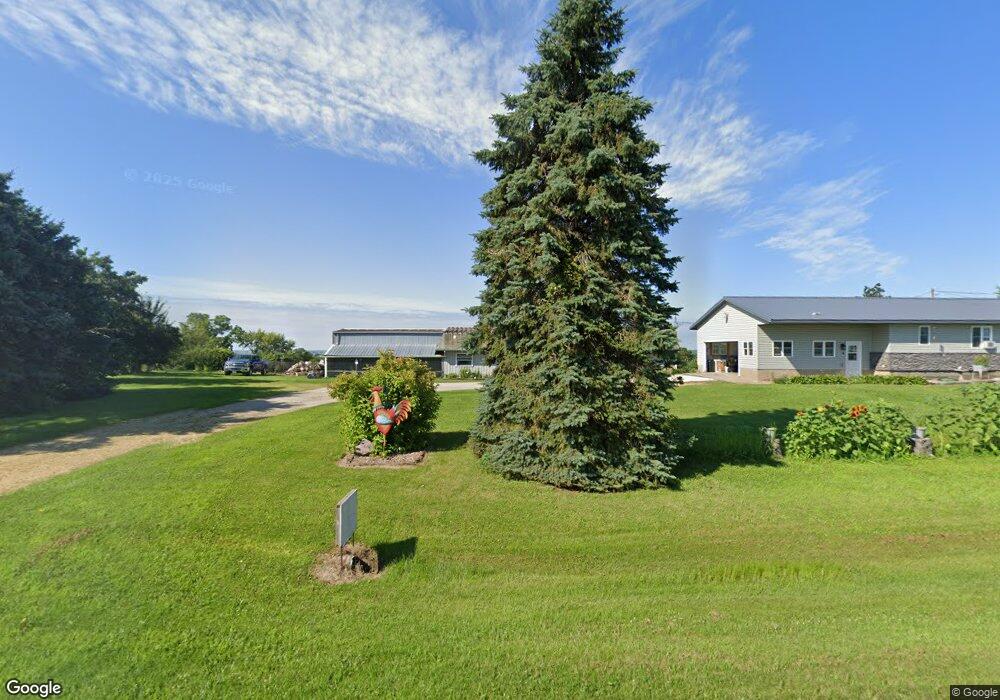
3879 Highway 136 Bryant, IA 52727
Estimated Value: $276,000 - $337,155
2
Beds
4
Baths
1,380
Sq Ft
$213/Sq Ft
Est. Value
About This Home
This home is located at 3879 Highway 136, Bryant, IA 52727 and is currently estimated at $294,039, approximately $213 per square foot. 3879 Highway 136 is a home located in Clinton County with nearby schools including Northeast Elementary School and Northeast Middle/High School.
Ownership History
Date
Name
Owned For
Owner Type
Purchase Details
Closed on
Jan 12, 2007
Sold by
Johnson Lois L and Rickertsen Kenneth
Bought by
Roling Kevin P and Roling Tammy S
Current Estimated Value
Home Financials for this Owner
Home Financials are based on the most recent Mortgage that was taken out on this home.
Original Mortgage
$136,000
Outstanding Balance
$81,273
Interest Rate
6.21%
Mortgage Type
New Conventional
Estimated Equity
$212,766
Create a Home Valuation Report for This Property
The Home Valuation Report is an in-depth analysis detailing your home's value as well as a comparison with similar homes in the area
Home Values in the Area
Average Home Value in this Area
Purchase History
| Date | Buyer | Sale Price | Title Company |
|---|---|---|---|
| Roling Kevin P | $146,000 | None Available |
Source: Public Records
Mortgage History
| Date | Status | Borrower | Loan Amount |
|---|---|---|---|
| Open | Roling Kevin P | $136,000 |
Source: Public Records
Tax History Compared to Growth
Tax History
| Year | Tax Paid | Tax Assessment Tax Assessment Total Assessment is a certain percentage of the fair market value that is determined by local assessors to be the total taxable value of land and additions on the property. | Land | Improvement |
|---|---|---|---|---|
| 2025 | $3,368 | $290,380 | $40,000 | $250,380 |
| 2024 | $3,368 | $275,550 | $40,000 | $235,550 |
| 2023 | $3,248 | $275,550 | $40,000 | $235,550 |
| 2022 | $2,692 | $255,920 | $40,000 | $215,920 |
| 2021 | $2,622 | $188,530 | $23,000 | $165,530 |
| 2020 | $2,622 | $180,650 | $23,000 | $157,650 |
| 2019 | $2,696 | $180,650 | $0 | $0 |
| 2018 | $2,646 | $180,650 | $0 | $0 |
| 2017 | $2,646 | $180,650 | $0 | $0 |
| 2016 | $2,138 | $146,400 | $0 | $0 |
| 2015 | $2,138 | $134,200 | $0 | $0 |
| 2014 | $1,910 | $133,100 | $0 | $0 |
| 2013 | $1,860 | $0 | $0 | $0 |
Source: Public Records
Map
Nearby Homes
- 3983 120th St
- 1146 432nd Ave
- 4480 115th St
- 114 Broadway St
- 123 Broadway St
- 131 Broadway St
- 323 Lincoln St
- 4456 115th St
- 401 S Mitchell St
- 142 S Stephens St
- 886 Riverstone Ct
- 4610 8th St NW
- 762 Marvin Ln
- 601 Marvin Ln
- 711 Marvin Ln
- 761 Marvin Ln
- 611 Marvin Ln
- 712 Marvin Ln
- 771 Marvin Ln
- 622 Marvin Ln
- 3875 Highway 136
- 3889 Highway 136
- 3885 Highway 136
- 3873 Highway 136
- 3872 Highway 136
- 3892 Highway 136
- 1596 390th Ave
- 3870 Highway 136
- 3894 Highway 136
- 3896 Highway 136
- 3895 Highway 136
- 3897 Highway 136
- 3898 Highway 136
- 1610 390th Ave
- 3912 Highway 136
- 3919 Highway 136
- 3903 Highway 136
- 1619 390th Ave
- 1558 390th Ave
- 1534 390th Ave