388 Ayres Rd Eagle Point, OR 97524
Estimated Value: $475,327 - $498,000
3
Beds
2
Baths
1,718
Sq Ft
$284/Sq Ft
Est. Value
About This Home
This home is located at 388 Ayres Rd, Eagle Point, OR 97524 and is currently estimated at $487,776, approximately $283 per square foot. 388 Ayres Rd is a home located in Jackson County with nearby schools including Eagle Point Middle School, White Mountain Middle School, and Eagle Point High School.
Ownership History
Date
Name
Owned For
Owner Type
Purchase Details
Closed on
Jul 12, 2006
Sold by
Riggs Riley L and Riggs Joyce A
Bought by
Kerr Robert E and Kerr Kimberly A
Current Estimated Value
Home Financials for this Owner
Home Financials are based on the most recent Mortgage that was taken out on this home.
Original Mortgage
$280,000
Outstanding Balance
$163,678
Interest Rate
6.66%
Mortgage Type
Purchase Money Mortgage
Estimated Equity
$324,098
Create a Home Valuation Report for This Property
The Home Valuation Report is an in-depth analysis detailing your home's value as well as a comparison with similar homes in the area
Purchase History
| Date | Buyer | Sale Price | Title Company |
|---|---|---|---|
| Kerr Robert E | $350,000 | First American Title |
Source: Public Records
Mortgage History
| Date | Status | Borrower | Loan Amount |
|---|---|---|---|
| Open | Kerr Robert E | $280,000 |
Source: Public Records
Tax History
| Year | Tax Paid | Tax Assessment Tax Assessment Total Assessment is a certain percentage of the fair market value that is determined by local assessors to be the total taxable value of land and additions on the property. | Land | Improvement |
|---|---|---|---|---|
| 2026 | $2,884 | $250,420 | -- | -- |
| 2025 | $2,809 | $243,130 | $119,670 | $123,460 |
| 2024 | $2,809 | $236,050 | $89,110 | $146,940 |
| 2023 | $2,713 | $229,180 | $86,520 | $142,660 |
| 2022 | $2,642 | $229,180 | $86,520 | $142,660 |
| 2021 | $2,566 | $222,510 | $84,010 | $138,500 |
| 2020 | $2,770 | $216,030 | $81,560 | $134,470 |
| 2019 | $2,736 | $203,640 | $76,890 | $126,750 |
| 2018 | $2,674 | $197,710 | $74,650 | $123,060 |
| 2017 | $2,611 | $197,710 | $74,650 | $123,060 |
| 2016 | $2,544 | $186,370 | $70,370 | $116,000 |
| 2015 | $2,458 | $186,370 | $70,370 | $116,000 |
| 2014 | $2,387 | $175,680 | $66,330 | $109,350 |
Source: Public Records
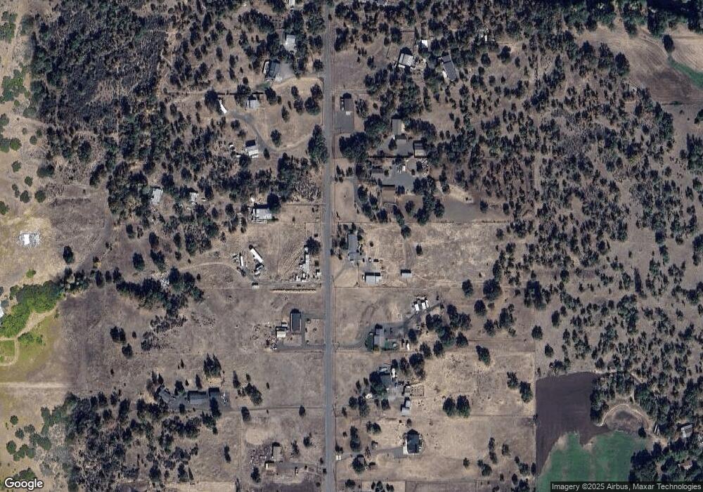
Map
Nearby Homes
- 1918 Stevens Rd
- 1050 Azure Way
- 21 Cerulean Terrace
- 0 Riley Rd Unit 220209029
- 1151 Arrowhead Trail
- 1297 Stonegate Dr Unit 473
- 1153 Pumpkin Unit 322
- 1319 Crestmont Place
- 218 Cambridge Terrace
- 1159 Pumpkin Ridge Unit 323
- 1147 Pumpkin Unit 321
- 277 Cambridge Terrace
- 1152 Pumpkin Unit 334
- 1135 Pumpkin Ridge Unit 319
- 374 Leandra Ln
- 1146 Pumpkin Unit 335
- 1207 Overlook Dr
- 279 Robert Trent Jones Blvd
- 1140 Pumpkin Ridge Unit 336
- 1164 Pumpkin Unit 332
Your Personal Tour Guide
Ask me questions while you tour the home.