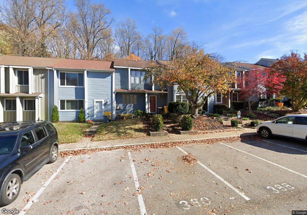
388 Carronade Way Arnold, MD 21012
Estimated Value: $330,457 - $358,000
--
Bed
2
Baths
1,280
Sq Ft
$269/Sq Ft
Est. Value
About This Home
This home is located at 388 Carronade Way, Arnold, MD 21012 and is currently estimated at $344,114, approximately $268 per square foot. 388 Carronade Way is a home located in Anne Arundel County with nearby schools including Windsor Farm Elementary School, Severn River Middle School, and Broadneck High School.
Ownership History
Date
Name
Owned For
Owner Type
Purchase Details
Closed on
Aug 2, 2002
Sold by
Sansing Carroll B
Bought by
Sansing Michael R
Current Estimated Value
Purchase Details
Closed on
Apr 7, 1997
Sold by
Sansing Carroll B
Bought by
Sansing Carroll B
Purchase Details
Closed on
Nov 8, 1995
Sold by
Sansing Carroll B
Bought by
Sansing Carroll B
Create a Home Valuation Report for This Property
The Home Valuation Report is an in-depth analysis detailing your home's value as well as a comparison with similar homes in the area
Home Values in the Area
Average Home Value in this Area
Purchase History
| Date | Buyer | Sale Price | Title Company |
|---|---|---|---|
| Sansing Michael R | $90,000 | -- | |
| Sansing Carroll B | -- | -- | |
| Sansing Carroll B | -- | -- |
Source: Public Records
Mortgage History
| Date | Status | Borrower | Loan Amount |
|---|---|---|---|
| Closed | Sansing Michael R | -- |
Source: Public Records
Tax History Compared to Growth
Tax History
| Year | Tax Paid | Tax Assessment Tax Assessment Total Assessment is a certain percentage of the fair market value that is determined by local assessors to be the total taxable value of land and additions on the property. | Land | Improvement |
|---|---|---|---|---|
| 2025 | $3,690 | $261,000 | -- | -- |
| 2024 | $3,690 | $244,100 | $140,000 | $104,100 |
| 2023 | $3,533 | $237,500 | $0 | $0 |
| 2022 | $2,790 | $230,900 | $0 | $0 |
| 2021 | $3,154 | $224,300 | $125,000 | $99,300 |
| 2020 | $2,928 | $210,433 | $0 | $0 |
| 2019 | $2,750 | $196,567 | $0 | $0 |
| 2018 | $1,853 | $182,700 | $85,000 | $97,700 |
| 2017 | $2,437 | $177,567 | $0 | $0 |
| 2016 | -- | $172,433 | $0 | $0 |
| 2015 | -- | $167,300 | $0 | $0 |
| 2014 | -- | $167,300 | $0 | $0 |
Source: Public Records
Map
Nearby Homes
- 1553 Star Pine Dr
- 1512 Winterberry Dr
- 332 Carronade Way
- 1583 Star Pine Dr
- 1116 Riverboat Ct
- 349 Candle Ridge Ct
- 478 Bay Green Dr
- 1742 Woodtree Cir
- 493 Colonial Ridge Ln
- 332 Charred Oak Ct
- 1424 Millwood Ct
- 1410 Greendale Ct Unit 2-1410
- 618 Andrew Hill Rd
- 633 Andrew Hill Rd
- 543 Bay Green Dr
- 1447 Falcon Nest Ct Unit 45
- 1455 Falcon Nest Ct
- 628 Southern Hills Dr Unit B
- 624 Southern Hills Dr Unit B-2A
- 1272 Seminole Dr
- 386 Carronade Way
- 390 Carronade Way
- 392 Carronade Way
- 384 Carronade Way
- 394 Carronade Way
- 396 Carronade Way
- 398 Carronade Way
- 380 Carronade Way
- 376 Carronade Way
- 372 Carronade Way
- 391 Carronade Way
- 370 Carronade Way
- 393 Carronade Way
- 368 Carronade Way
- 397 Carronade Way
- 399 Carronade Way
- 366 Carronade Way
- 364 Carronade Way
- 362 Carronade Way
- 371 Capetowne Rd