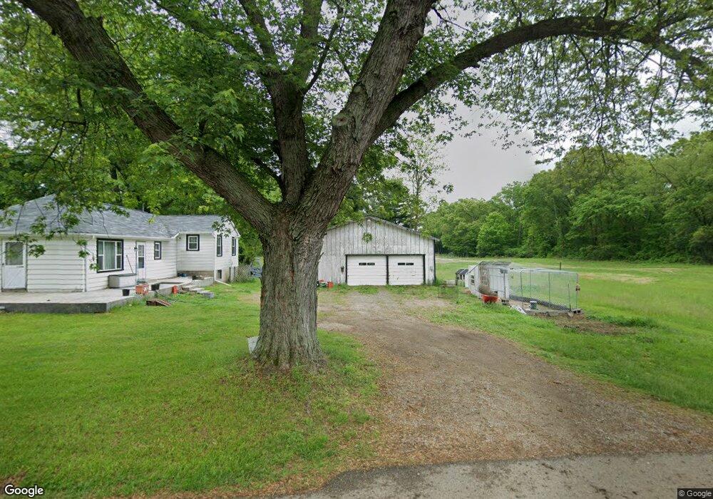
388 Concord Ave Battle Creek, MI 49014
Estimated Value: $134,000 - $148,000
3
Beds
1
Bath
1,060
Sq Ft
$131/Sq Ft
Est. Value
About This Home
This home is located at 388 Concord Ave, Battle Creek, MI 49014 and is currently estimated at $138,686, approximately $130 per square foot. 388 Concord Ave is a home located in Calhoun County with nearby schools including Pennfield Dunlap Elementary School, Pennfield Purdy School, and Pennfield Middle School.
Ownership History
Date
Name
Owned For
Owner Type
Purchase Details
Closed on
Aug 12, 2015
Sold by
Smith Frank B and Smith Robert E
Bought by
Holcomb Ashley
Current Estimated Value
Home Financials for this Owner
Home Financials are based on the most recent Mortgage that was taken out on this home.
Original Mortgage
$33,250
Interest Rate
3.84%
Mortgage Type
New Conventional
Create a Home Valuation Report for This Property
The Home Valuation Report is an in-depth analysis detailing your home's value as well as a comparison with similar homes in the area
Home Values in the Area
Average Home Value in this Area
Purchase History
| Date | Buyer | Sale Price | Title Company |
|---|---|---|---|
| Holcomb Ashley | $35,000 | Chicago Title Of Michigan |
Source: Public Records
Mortgage History
| Date | Status | Borrower | Loan Amount |
|---|---|---|---|
| Previous Owner | Holcomb Ashley | $33,250 |
Source: Public Records
Tax History Compared to Growth
Tax History
| Year | Tax Paid | Tax Assessment Tax Assessment Total Assessment is a certain percentage of the fair market value that is determined by local assessors to be the total taxable value of land and additions on the property. | Land | Improvement |
|---|---|---|---|---|
| 2025 | $1,465 | $62,900 | $0 | $0 |
| 2024 | $667 | $60,500 | $0 | $0 |
| 2023 | $1,292 | $50,790 | $0 | $0 |
| 2022 | $605 | $46,070 | $0 | $0 |
| 2021 | $1,270 | $44,010 | $0 | $0 |
| 2020 | $1,249 | $43,220 | $0 | $0 |
| 2019 | $1,207 | $30,650 | $0 | $0 |
| 2018 | $1,111 | $27,770 | $5,330 | $22,440 |
| 2017 | $0 | $28,380 | $0 | $0 |
| 2016 | $0 | $27,100 | $0 | $0 |
| 2015 | -- | $24,620 | $8,188 | $16,432 |
| 2014 | -- | $22,980 | $8,188 | $14,792 |
Source: Public Records
Map
Nearby Homes
- 0 Pickford Ave
- 8671 Gorsline Rd
- 605 Westbrook Ave
- 0 Capital Ave NE
- 955 Capital Ave NE
- 21 Bradley St
- 31 Oxford St
- 731 Roosevelt Ave E
- 0 Hopkins St
- 723 Capital Ave NE
- 28 Convis St
- 37 Convis St
- 186 Bryant St
- 52 Maple Grove Ave
- 179 Bryant St
- 1731 Capital Ave NE
- 495 Emmett St E
- 17 Wren St
- 174 East Ave N
- 215 Pony Ave
- 390 Concord Ave
- 394 Concord Ave
- 396 Concord Ave
- 393 Willison Ave
- 400 Concord Ave
- 92 Poulsen Ave
- 0 Poulsen Ave
- 0 Concord Ave Unit 152
- 397 Willison Ave
- 384 Willison Ave
- 390 Willison Ave
- 333 Concord Ave
- 396 Willison Ave
- 202 Poulsen Ave
- 370 Willison Ave
- 140 Poulsen Ave
- 93 Poulsen Ave
- 222 Poulsen Ave
- 203 Poulsen Ave
- 405 Willison Ave