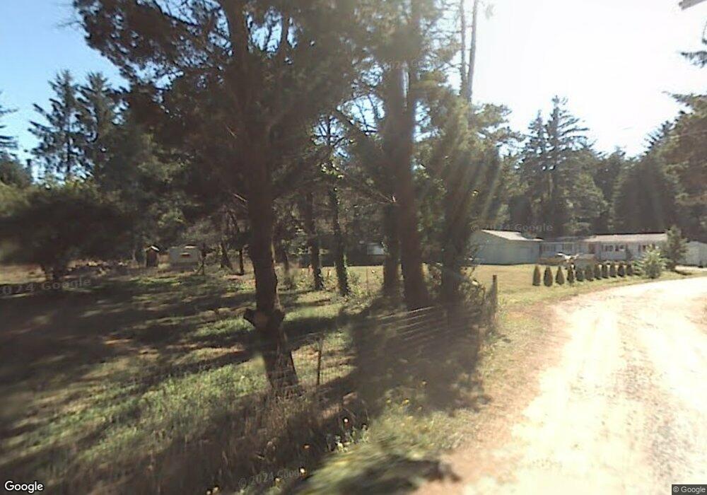
388 Cummins Rd Crescent City, CA 95531
Estimated Value: $346,000 - $514,000
3
Beds
2
Baths
1,322
Sq Ft
$310/Sq Ft
Est. Value
About This Home
This home is located at 388 Cummins Rd, Crescent City, CA 95531 and is currently estimated at $410,018, approximately $310 per square foot. 388 Cummins Rd is a home located in Del Norte County with nearby schools including Pine Grove Elementary School, Crescent Elk Middle School, and Del Norte High School.
Ownership History
Date
Name
Owned For
Owner Type
Purchase Details
Closed on
Mar 19, 2024
Sold by
Lambson Victoria
Bought by
Victoria Lambson 2024 Revocable Trust and Lambson
Current Estimated Value
Purchase Details
Closed on
Mar 17, 2004
Sold by
Malloroy David B and Malloroy Judyth G
Bought by
Lambson Victoria
Home Financials for this Owner
Home Financials are based on the most recent Mortgage that was taken out on this home.
Original Mortgage
$96,155
Interest Rate
5.69%
Mortgage Type
Seller Take Back
Create a Home Valuation Report for This Property
The Home Valuation Report is an in-depth analysis detailing your home's value as well as a comparison with similar homes in the area
Home Values in the Area
Average Home Value in this Area
Purchase History
| Date | Buyer | Sale Price | Title Company |
|---|---|---|---|
| Victoria Lambson 2024 Revocable Trust | -- | None Listed On Document | |
| Lambson Victoria | $139,000 | Crescent Land Title |
Source: Public Records
Mortgage History
| Date | Status | Borrower | Loan Amount |
|---|---|---|---|
| Previous Owner | Lambson Victoria | $96,155 |
Source: Public Records
Tax History
| Year | Tax Paid | Tax Assessment Tax Assessment Total Assessment is a certain percentage of the fair market value that is determined by local assessors to be the total taxable value of land and additions on the property. | Land | Improvement |
|---|---|---|---|---|
| 2025 | $2,529 | $234,573 | $56,858 | $177,715 |
| 2024 | $2,429 | $229,975 | $55,744 | $174,231 |
| 2023 | $2,378 | $225,466 | $54,651 | $170,815 |
| 2022 | $2,328 | $221,046 | $53,580 | $167,466 |
| 2021 | $2,313 | $216,713 | $52,530 | $164,183 |
| 2020 | $2,241 | $214,492 | $51,992 | $162,500 |
| 2019 | $2,203 | $210,287 | $50,973 | $159,314 |
| 2018 | $2,157 | $206,165 | $49,974 | $156,191 |
| 2017 | $2,121 | $202,124 | $48,995 | $153,129 |
| 2016 | $2,083 | $198,162 | $48,035 | $150,127 |
| 2015 | $2,034 | $195,186 | $47,314 | $147,872 |
| 2014 | $2,014 | $191,364 | $46,388 | $144,976 |
Source: Public Records
Map
Nearby Homes
- 75 Embarcadero Dr
- 925 Monopoly Rd
- 100 Susan Ln
- 1100 Carole Ln
- 1775 Northcrest Dr
- 435 Leif Cir
- 525 Leif Cir
- 1661
- 1661 Northcrest Dr
- 155 Tanglewood Ln
- 0000 E Washington Blvd
- 800 Gale Way
- 650 E Unit Crescent Senior Mobi
- 1771 Northcrest Dr
- 1725 Northcrest Dr
- 1020 Blackwell Ln
- 1950 Northcrest Dr
- 1329 Burtschell Place
- 1718 Northcrest Dr
- 1155 Malaney Dr
- 438 Cummins Rd
- 400 Cummins Rd
- 700 Burke Ln
- 400 Burke Ln
- 555 Burke Ln
- 440 Cummins Rd
- 411 Cummins Rd
- 270 Cummins Rd
- 460 Cummins Rd
- 300 Burke Ln
- 325 Burke Ln Unit 355
- 325 Burke Ln
- 2155 Collins Rd
- 710 Lynch Rd
- 120 Ronrene Way
- 280 Cummins Rd Unit Off Railroad
- 280 Cummins Rd
- 445 Cummins Rd
- 680 Lynch Rd
- 210 Cummins Rd
Your Personal Tour Guide
Ask me questions while you tour the home.