388 Deep Woods Dr Saint Clair, MO 63077
Estimated Value: $313,000 - $398,000
3
Beds
1
Bath
1,720
Sq Ft
$208/Sq Ft
Est. Value
About This Home
This home is located at 388 Deep Woods Dr, Saint Clair, MO 63077 and is currently estimated at $357,188, approximately $207 per square foot. 388 Deep Woods Dr is a home located in Franklin County with nearby schools including St. Clair Elementary School, Edgar Murray Elementary School, and St. Clair Junior High School.
Ownership History
Date
Name
Owned For
Owner Type
Purchase Details
Closed on
Jul 3, 2007
Sold by
Williams Glenda F and Williams Howard E
Bought by
Palmer David M and Price Palmer Jacquelyn
Current Estimated Value
Home Financials for this Owner
Home Financials are based on the most recent Mortgage that was taken out on this home.
Original Mortgage
$141,600
Interest Rate
7.5%
Mortgage Type
Future Advance Clause Open End Mortgage
Create a Home Valuation Report for This Property
The Home Valuation Report is an in-depth analysis detailing your home's value as well as a comparison with similar homes in the area
Home Values in the Area
Average Home Value in this Area
Purchase History
| Date | Buyer | Sale Price | Title Company |
|---|---|---|---|
| Palmer David M | -- | None Available |
Source: Public Records
Mortgage History
| Date | Status | Borrower | Loan Amount |
|---|---|---|---|
| Closed | Palmer David M | $141,600 |
Source: Public Records
Tax History
| Year | Tax Paid | Tax Assessment Tax Assessment Total Assessment is a certain percentage of the fair market value that is determined by local assessors to be the total taxable value of land and additions on the property. | Land | Improvement |
|---|---|---|---|---|
| 2025 | $2,008 | $33,177 | $0 | $0 |
| 2024 | $2,008 | $30,477 | $0 | $0 |
| 2023 | $1,662 | $30,477 | $0 | $0 |
| 2022 | $1,465 | $26,783 | $0 | $0 |
| 2021 | $1,462 | $26,783 | $0 | $0 |
| 2020 | $1,389 | $24,389 | $0 | $0 |
| 2019 | $1,376 | $24,389 | $0 | $0 |
| 2018 | $1,267 | $22,173 | $0 | $0 |
| 2017 | $1,259 | $22,042 | $0 | $0 |
| 2016 | $1,208 | $21,133 | $0 | $0 |
| 2015 | $1,110 | $21,133 | $0 | $0 |
| 2014 | $1,115 | $21,183 | $0 | $0 |
Source: Public Records
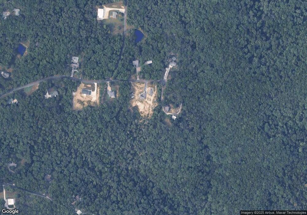
Map
Nearby Homes
- 622 Elk Run
- Parkway Dr
- 370 Hencken Hollow Ln
- 4462 N Virginia Mines Rd
- 4412 N Virginia Mines Rd
- 2390 Wrights Lodge Rd
- 0 Gravois Rd Unit 11555468
- 1557 Mill Hill Rd
- 614 T-Box Dr
- 1638 Neff Rd
- 322 Cart Path Ln
- 2045 Meramec View Estate
- 1420 Sandpiper Dr
- 111 Wrenwood Dr
- 1008 Cathy Cir
- 0 Crescent Lake Rd Unit MIS25079528
- 830 Walton St
- 909 Q Ave
- 445 Lakeshore Dr
- 325 Iris Ct
- 386 Deep Woods Dr
- 391 Deep Woods Dr
- 370 Deep Woods Dr
- 373 Deep Woods Dr
- 364 Deep Woods Dr
- 367 Deep Woods Dr
- 354 Deep Woods Dr
- 2025 Deep Ridge Ln
- 1650 Oaktrail Ln
- 1651 Ridgewood Ct
- 1647 Oaktrail Ln
- 2041 Deep Ridge Ln
- 1659 Ridgewood Ct
- 542 Round Robin Cir
- 520 Round Robin Cir
- 332 Deep Woods Dr
- 1629 Oaktrail Ln
- 1914 White Oak Ln
- 545 Round Robin Cir
- 1625 Ridgewood Ct
Your Personal Tour Guide
Ask me questions while you tour the home.