388 Fieldstone Ln New London, NH 03257
Estimated Value: $1,438,000 - $2,038,000
3
Beds
3
Baths
4,604
Sq Ft
$379/Sq Ft
Est. Value
About This Home
This home is located at 388 Fieldstone Ln, New London, NH 03257 and is currently estimated at $1,744,337, approximately $378 per square foot. 388 Fieldstone Ln is a home with nearby schools including Kearsarge Elementary School - New London, Kearsarge Regional Middle School, and Kearsarge Regional High School.
Ownership History
Date
Name
Owned For
Owner Type
Purchase Details
Closed on
Jan 14, 2005
Sold by
Lesmerises Donald M and Lesmerises Jacqueline J
Bought by
Byrne James T and Byrne Carolyn M
Current Estimated Value
Home Financials for this Owner
Home Financials are based on the most recent Mortgage that was taken out on this home.
Original Mortgage
$500,000
Outstanding Balance
$253,443
Interest Rate
5.81%
Estimated Equity
$1,490,894
Create a Home Valuation Report for This Property
The Home Valuation Report is an in-depth analysis detailing your home's value as well as a comparison with similar homes in the area
Home Values in the Area
Average Home Value in this Area
Purchase History
| Date | Buyer | Sale Price | Title Company |
|---|---|---|---|
| Byrne James T | $972,500 | -- | |
| Byrne James T | $972,500 | -- |
Source: Public Records
Mortgage History
| Date | Status | Borrower | Loan Amount |
|---|---|---|---|
| Open | Byrne James T | $200,000 | |
| Open | Byrne James T | $500,000 | |
| Closed | Byrne James T | $500,000 |
Source: Public Records
Tax History Compared to Growth
Tax History
| Year | Tax Paid | Tax Assessment Tax Assessment Total Assessment is a certain percentage of the fair market value that is determined by local assessors to be the total taxable value of land and additions on the property. | Land | Improvement |
|---|---|---|---|---|
| 2024 | $17,525 | $1,509,500 | $655,200 | $854,300 |
| 2023 | $16,318 | $1,509,500 | $655,200 | $854,300 |
| 2022 | $16,050 | $1,012,000 | $367,400 | $644,600 |
| 2021 | $15,575 | $1,012,000 | $367,400 | $644,600 |
| 2020 | $15,119 | $1,012,000 | $367,400 | $644,600 |
| 2019 | $14,887 | $1,012,000 | $367,400 | $644,600 |
| 2018 | $13,870 | $882,900 | $277,100 | $605,800 |
| 2017 | $14,135 | $882,900 | $277,100 | $605,800 |
| 2016 | $13,835 | $882,900 | $277,100 | $605,800 |
| 2015 | $13,594 | $879,900 | $277,100 | $602,800 |
| 2014 | $13,471 | $879,900 | $277,100 | $602,800 |
| 2013 | $13,125 | $872,100 | $272,300 | $599,800 |
Source: Public Records
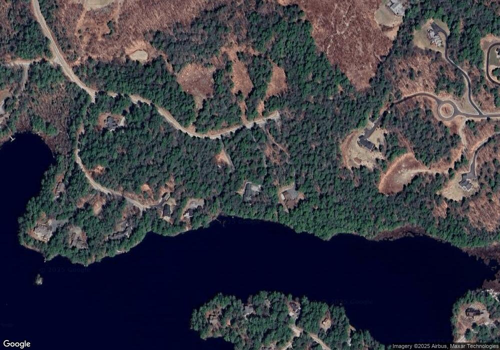
Map
Nearby Homes
- 106-23 Fieldstone Ln
- 273 Forest Acres Rd
- 65 Barrett Rd
- 000 Farwell Ln Unit 17
- 10 Highland Ridge Rd
- 0 Summit Rd Unit 431
- 195 Pine Hill Rd
- 158 Quail Run
- 0 Newport Rd Unit 10
- 617 & 619 Route 103a Map 91 Lot 37 38
- 27 Pipers Glen
- 385 Seamans Rd
- 71 Hilltop Place
- 00 Mountainside Dr Unit 183
- 26 Otterville Rd
- 295 Andover Rd
- 58 Kearsarge Rd
- 712 Sugarhouse Rd
- 0 Fairway Ln Unit 8
- 000 Shaker Rd Unit 288
- 396 Fieldstone Ln
- 0 Fieldstone Unit 4654540
- 0 Fieldstone Unit 4990363
- 0 Fieldstone Unit Lot 22 4919225
- 0 Fieldstone Unit 4074651
- 0 Fieldstone Unit 4403147
- 0 Fieldstone Unit 4344929
- 0 Fieldstone Unit 4225373
- 0 Fieldstone Unit 4218971
- 0 Fieldstone Unit lot 22 4469048
- 370 Fieldstone Ln
- 89 Little Cove Rd
- 104 Ponds Edge Ln
- 26 Beaver Point
- 38 Beaver Point
- 44 Beaver Point
- 85 Ponds Edge Ln
- 85 Ponds Edge Ln Unit 3
- 547 Forest Acres Rd
- 38 Little Cove Rd