388 Mack Rd Bangor, PA 18013
Estimated Value: $249,000 - $432,000
3
Beds
2
Baths
2,400
Sq Ft
$151/Sq Ft
Est. Value
About This Home
This home is located at 388 Mack Rd, Bangor, PA 18013 and is currently estimated at $362,743, approximately $151 per square foot. 388 Mack Rd is a home located in Northampton County with nearby schools including Bangor Area High School.
Ownership History
Date
Name
Owned For
Owner Type
Purchase Details
Closed on
Feb 11, 2016
Sold by
Shoemaker Glenn D and Shoemaker Darlene A
Bought by
Brewer Farms
Current Estimated Value
Home Financials for this Owner
Home Financials are based on the most recent Mortgage that was taken out on this home.
Original Mortgage
$203,966
Interest Rate
4%
Mortgage Type
Purchase Money Mortgage
Purchase Details
Closed on
Oct 1, 1987
Bought by
Shoemaker Glenn D and Shoemaker Darlene A
Create a Home Valuation Report for This Property
The Home Valuation Report is an in-depth analysis detailing your home's value as well as a comparison with similar homes in the area
Home Values in the Area
Average Home Value in this Area
Purchase History
| Date | Buyer | Sale Price | Title Company |
|---|---|---|---|
| Brewer Farms | $200,000 | Attorney | |
| Shoemaker Glenn D | $137,000 | -- |
Source: Public Records
Mortgage History
| Date | Status | Borrower | Loan Amount |
|---|---|---|---|
| Previous Owner | Brewer Farms | $203,966 |
Source: Public Records
Tax History
| Year | Tax Paid | Tax Assessment Tax Assessment Total Assessment is a certain percentage of the fair market value that is determined by local assessors to be the total taxable value of land and additions on the property. | Land | Improvement |
|---|---|---|---|---|
| 2026 | $387 | $35,800 | $15,200 | $20,600 |
| 2025 | $387 | $35,800 | $15,200 | $20,600 |
| 2024 | $2,708 | $35,800 | $15,200 | $20,600 |
| 2023 | $2,691 | $35,800 | $15,200 | $20,600 |
| 2022 | $2,691 | $35,800 | $15,200 | $20,600 |
| 2021 | $2,727 | $35,800 | $15,200 | $20,600 |
| 2020 | $2,727 | $35,800 | $15,200 | $20,600 |
| 2019 | $6,945 | $37,800 | $15,200 | $22,600 |
| 2018 | $2,780 | $37,800 | $15,200 | $22,600 |
| 2017 | $3,607 | $49,400 | $22,800 | $26,600 |
| 2016 | -- | $49,400 | $22,800 | $26,600 |
| 2015 | -- | $49,400 | $22,800 | $26,600 |
| 2014 | -- | $49,400 | $22,800 | $26,600 |
Source: Public Records
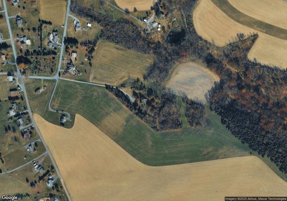
Map
Nearby Homes
- 00 Main St
- 33 Starseed Dr
- 50 Nagys Hill Rd
- 2215 Pennsylvania Ave
- 968 Bangor Rd
- 459 Mount Pleasant Rd
- 1090 Railroad Ave
- 362 Mount Pleasant Rd
- 266 Washington Blvd
- 0 Molasses Rd Unit 766584
- 0 Molasses Rd Unit 766581
- 617 School Rd
- 2720 River Rd
- 22 Harmony Station
- 4905 Farrcroft Dr Unit 84C
- 4869 Farrcroft Dr Unit 85B
- 4929 Farrcroft Dr Unit 83B
- 936 Emerald Valley Ln
- 4780 Farrcroft Dr Unit 113
- 883 Emerald Valley Ln
- 360 Mack Rd
- 400 Mack Rd
- 300 Mack Rd
- 348 Mack Rd
- 450 Mack Rd
- 355 Mack Rd
- 853 Franklin Hill Rd
- 861 Franklin Hill Rd
- 845 Franklin Hill Rd
- 496 Benns Hill Rd
- 8500 Franklin Hill Rd
- 480 Benns Hill Rd
- 877 Franklin Hill Rd
- 8440 Franklin Hill Rd
- 831 Franklin Hill Rd
- 303 Mack Rd
- 466 Benns Hill Rd
- 7894 Franklin Hill Rd
- 280 Mack Rd
- 489 Benns Hill Rd
Your Personal Tour Guide
Ask me questions while you tour the home.