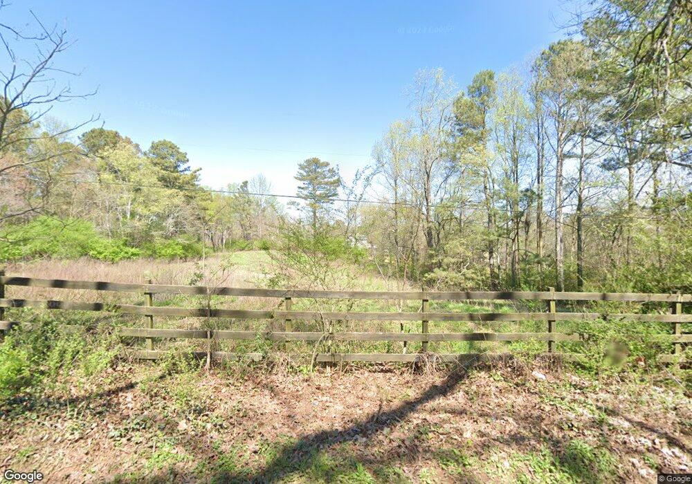
388 Townsend Rd Talking Rock, GA 30175
Estimated Value: $361,000 - $559,000
4
Beds
2
Baths
2,430
Sq Ft
$206/Sq Ft
Est. Value
About This Home
This home is located at 388 Townsend Rd, Talking Rock, GA 30175 and is currently estimated at $499,756, approximately $205 per square foot. 388 Townsend Rd is a home located in Pickens County with nearby schools including Hill City Elementary School, Pickens County Middle School, and Pickens County High School.
Ownership History
Date
Name
Owned For
Owner Type
Purchase Details
Closed on
Mar 16, 1993
Sold by
Carl Glenda Warren
Bought by
Sain Timothy C
Current Estimated Value
Purchase Details
Closed on
Jan 14, 1993
Sold by
Warren Leola S
Bought by
Carl Glenda Warren
Purchase Details
Closed on
Nov 18, 1991
Bought by
Warren Leola S
Purchase Details
Closed on
Jul 30, 1980
Sold by
Warren Leola S
Bought by
Warren Glenn S and Warren Leola S
Create a Home Valuation Report for This Property
The Home Valuation Report is an in-depth analysis detailing your home's value as well as a comparison with similar homes in the area
Home Values in the Area
Average Home Value in this Area
Purchase History
| Date | Buyer | Sale Price | Title Company |
|---|---|---|---|
| Sain Timothy C | $130,000 | -- | |
| Carl Glenda Warren | -- | -- | |
| Warren Leola S | -- | -- | |
| Warren Glenn S | $20,000 | -- |
Source: Public Records
Tax History Compared to Growth
Tax History
| Year | Tax Paid | Tax Assessment Tax Assessment Total Assessment is a certain percentage of the fair market value that is determined by local assessors to be the total taxable value of land and additions on the property. | Land | Improvement |
|---|---|---|---|---|
| 2025 | $1,758 | $200,914 | $61,841 | $139,073 |
| 2024 | $1,764 | $94,119 | $51,431 | $42,688 |
| 2023 | $1,810 | $93,991 | $51,431 | $42,560 |
| 2022 | $1,810 | $93,991 | $51,431 | $42,560 |
| 2021 | $1,939 | $93,991 | $51,431 | $42,560 |
| 2020 | $1,997 | $93,991 | $51,431 | $42,560 |
| 2019 | $2,043 | $93,991 | $51,431 | $42,560 |
| 2018 | $2,062 | $93,991 | $51,431 | $42,560 |
| 2017 | $2,096 | $93,991 | $51,431 | $42,560 |
| 2016 | $2,082 | $92,012 | $49,452 | $42,560 |
| 2015 | $2,034 | $92,012 | $49,452 | $42,560 |
| 2014 | $2,038 | $92,012 | $49,452 | $42,560 |
| 2013 | -- | $92,012 | $49,452 | $42,559 |
Source: Public Records
Map
Nearby Homes
- 11 Bradley Rd
- 0 Carver Mill Rd Unit 7670227
- 0 Carver Mill Rd Unit 7670211
- 200 Willow Ln
- 629 Georgia 136 Connector
- 8697 Highway 136 W
- 8697 Georgia 136
- 1251 Bar T Ranch Rd
- 344 Cain Trail
- 69 Blakes Ln
- 10746 Highway 53 W
- 3199 Big Ridge Rd
- 50 Damascus Rd
- 0 Crayfish Place Unit 7681507
- 0 Crayfish Place Unit 10587589
- Lot 1 Thompson Ln
- 110 Jerusalem Farms Dr
- 0 Pin Hook Rd Unit 7616347
- 126 Jerusalem Farms Dr
- 233 Old Post Trail
- 463 Townsend Rd
- 341 Townsend Rd
- 300 Townsend Rd
- 41 Deer Hollow Trail
- 89 Deer Hollow Trail
- 35 Deer Hollow Trail
- 281 Townsend Rd
- 0000 Townsend Rd
- 124 Deer Hollow Trail
- 776 Bunch Ct
- 311 Townsend Rd
- 784 Bunch Ct
- 134 Townsend Rd
- 16 Townsend Rd
- 16 Townsend Rd
- 754 Bunch Ct
- 1 Dean Mill Rd
- 232 Dean Mill Rd
- 930 Bunch Ct
- 930 Bunch Ct
