388 Walters Rd Barnesville, GA 30204
Estimated Value: $764,000 - $806,503
3
Beds
4
Baths
4,072
Sq Ft
$193/Sq Ft
Est. Value
About This Home
This home is located at 388 Walters Rd, Barnesville, GA 30204 and is currently estimated at $785,252, approximately $192 per square foot. 388 Walters Rd is a home located in Lamar County with nearby schools including Lamar County Primary School, Lamar County Elementary School, and Lamar County Middle School.
Ownership History
Date
Name
Owned For
Owner Type
Purchase Details
Closed on
Apr 2, 2014
Bought by
Fallaw Wilson C and Fallaw Debra A
Current Estimated Value
Purchase Details
Closed on
Mar 28, 2014
Sold by
Fallow Wilson C
Bought by
Fallaw Wilson C and Fallaw Debra A
Purchase Details
Closed on
Mar 23, 2004
Bought by
Fallaw Wilson C and Fallaw Debra A
Purchase Details
Closed on
Jun 3, 1997
Sold by
Regional Prop
Bought by
Fallow Wilson C
Create a Home Valuation Report for This Property
The Home Valuation Report is an in-depth analysis detailing your home's value as well as a comparison with similar homes in the area
Purchase History
| Date | Buyer | Sale Price | Title Company |
|---|---|---|---|
| Fallaw Wilson C | -- | -- | |
| Fallaw Wilson C | -- | -- | |
| Fallaw Wilson C | -- | -- | |
| Fallow Wilson C | $51,300 | -- |
Source: Public Records
Tax History
| Year | Tax Paid | Tax Assessment Tax Assessment Total Assessment is a certain percentage of the fair market value that is determined by local assessors to be the total taxable value of land and additions on the property. | Land | Improvement |
|---|---|---|---|---|
| 2025 | $5,719 | $323,741 | $81,634 | $242,107 |
| 2024 | $7,088 | $278,838 | $81,634 | $197,204 |
| 2023 | $5,435 | $265,493 | $79,789 | $185,704 |
| 2022 | $4,950 | $228,901 | $61,893 | $167,008 |
| 2021 | $3,888 | $164,602 | $45,948 | $118,654 |
| 2020 | $4,086 | $164,602 | $45,948 | $118,654 |
| 2019 | $4,089 | $164,602 | $45,948 | $118,654 |
| 2018 | $3,919 | $164,602 | $45,948 | $118,654 |
| 2017 | $3,892 | $164,602 | $45,948 | $118,654 |
| 2016 | $3,886 | $164,602 | $45,948 | $118,654 |
| 2015 | $3,872 | $164,602 | $45,948 | $118,654 |
| 2014 | $3,747 | $164,602 | $45,948 | $118,654 |
| 2013 | -- | $164,382 | $45,728 | $118,654 |
Source: Public Records
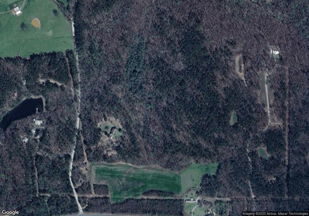
Map
Nearby Homes
- 0 Crawford Rd Unit 10611435
- 0 Crawford Rd Unit 1
- 880 Johnstonville Rd
- 523 Fredonia Church Rd
- 562 Johnstonville Rd
- 1473 Highway 41 S
- 125 Red Oak Dr
- 0 Martin Luther King Junior Pkwy
- 0 Roberts Rd Unit 10593586
- 0 Hannah St Unit LOT 1 10587177
- 0 Hannah Ct Unit LOT 13 10587187
- 0 Hannah Ct Unit LOT 10 10587183
- 0 Hannah Ct Unit LOT 14 10587190
- 0 Veterans Unit 10705095
- 0 Veterans Unit 10714454
- 0 Veterans Unit 23619323
- 0 Veterans Unit 10429448
- 0 Veterans Unit 10675698
- 131 Bradley Cir
- 108 Bradley Cir
- 383 Walters Rd
- 1028 Highway 41 S
- 359 Walters Rd
- 979 Highway 41 S
- 1013 U S 41
- 1013 Highway 41 S
- 981 Highway 41 S
- 1070 Highway 41 S
- 1043 Highway 41 S
- 1039 Highway 41 S
- 1043 U S 41
- 1043 Us Highway 41
- 902 Highway 41 S
- 902 U S 41
- 985 U S 41
- 136 Bush Rd
- 985 Highway 41 S
- 1090 Highway 41 S
- 897 Highway 41 S
- 1041 Highway 41 S
Your Personal Tour Guide
Ask me questions while you tour the home.