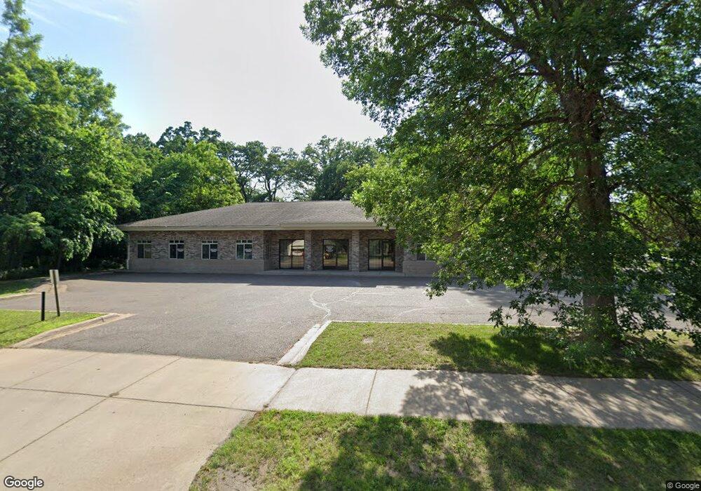
38814 3rd Ave North Branch, MN 55056
Estimated Value: $318,500
Studio
--
Bath
4,803
Sq Ft
$66/Sq Ft
Est. Value
About This Home
This home is located at 38814 3rd Ave, North Branch, MN 55056 and is currently priced at $318,500, approximately $66 per square foot. 38814 3rd Ave is a home located in Chisago County with nearby schools including North Branch Middle School, Sunrise River Elementary School, and North Branch Senior High School.
Ownership History
Date
Name
Owned For
Owner Type
Purchase Details
Closed on
Feb 21, 2024
Sold by
Central Minnesota Land Holdings Llc
Bought by
Towne Holdings Llc
Current Estimated Value
Home Financials for this Owner
Home Financials are based on the most recent Mortgage that was taken out on this home.
Original Mortgage
$243,750
Outstanding Balance
$239,245
Interest Rate
6.66%
Mortgage Type
New Conventional
Purchase Details
Closed on
Feb 12, 2001
Sold by
Franson Todd R and Franson Susan C
Bought by
Kb Land Developers Llc
Purchase Details
Closed on
Mar 21, 2000
Sold by
Preimesberger Jeff and Preimesberger Julie M
Bought by
Franson Todd R and Franson Susan C
Purchase Details
Closed on
Oct 16, 1997
Sold by
Clifford Sylvia
Bought by
Preimesberger Jeff
Create a Home Valuation Report for This Property
The Home Valuation Report is an in-depth analysis detailing your home's value as well as a comparison with similar homes in the area
Home Values in the Area
Average Home Value in this Area
Purchase History
| Date | Buyer | Sale Price | Title Company |
|---|---|---|---|
| Towne Holdings Llc | $325,000 | -- | |
| Kb Land Developers Llc | $75,000 | -- | |
| Franson Todd R | $60,000 | -- | |
| Preimesberger Jeff | $30,000 | -- |
Source: Public Records
Mortgage History
| Date | Status | Borrower | Loan Amount |
|---|---|---|---|
| Open | Towne Holdings Llc | $243,750 |
Source: Public Records
Tax History
| Year | Tax Paid | Tax Assessment Tax Assessment Total Assessment is a certain percentage of the fair market value that is determined by local assessors to be the total taxable value of land and additions on the property. | Land | Improvement |
|---|---|---|---|---|
| 2024 | $11,148 | $415,000 | $0 | $0 |
| 2023 | $11,148 | $423,700 | $53,200 | $370,500 |
| 2022 | $10,718 | $390,100 | $53,200 | $336,900 |
| 2021 | $12,194 | $376,300 | $0 | $0 |
| 2020 | $12,512 | $376,200 | $53,100 | $323,100 |
| 2019 | $12,556 | $0 | $0 | $0 |
| 2018 | $13,178 | $0 | $0 | $0 |
| 2017 | $13,884 | $0 | $0 | $0 |
| 2016 | $15,428 | $0 | $0 | $0 |
| 2015 | $17,584 | $0 | $0 | $0 |
| 2014 | -- | $425,900 | $0 | $0 |
Source: Public Records
Map
Nearby Homes
- 38624 Grand Ave
- 38558 Grand Ave
- XXXXX Maple St
- 39094 Riverside Ct
- 38820 Maple Ct
- 38639 Hawthorne Ave
- 524X 391st St
- 7255 Hawthorne Ct
- 7222 Hawthorne Ct
- 7246 385th St
- TBD Saint Croix Trail
- 39590 Hemingway Ave
- 39xxx Hemingway Ave
- 374xx-N40 Hemingway Ave
- TBD Ash St
- 38280 Great Oaks Ct
- 38xxx Oakview Ave
- 5187 391st St
- 5128 391st St
- 5276 391st St
Your Personal Tour Guide
Ask me questions while you tour the home.