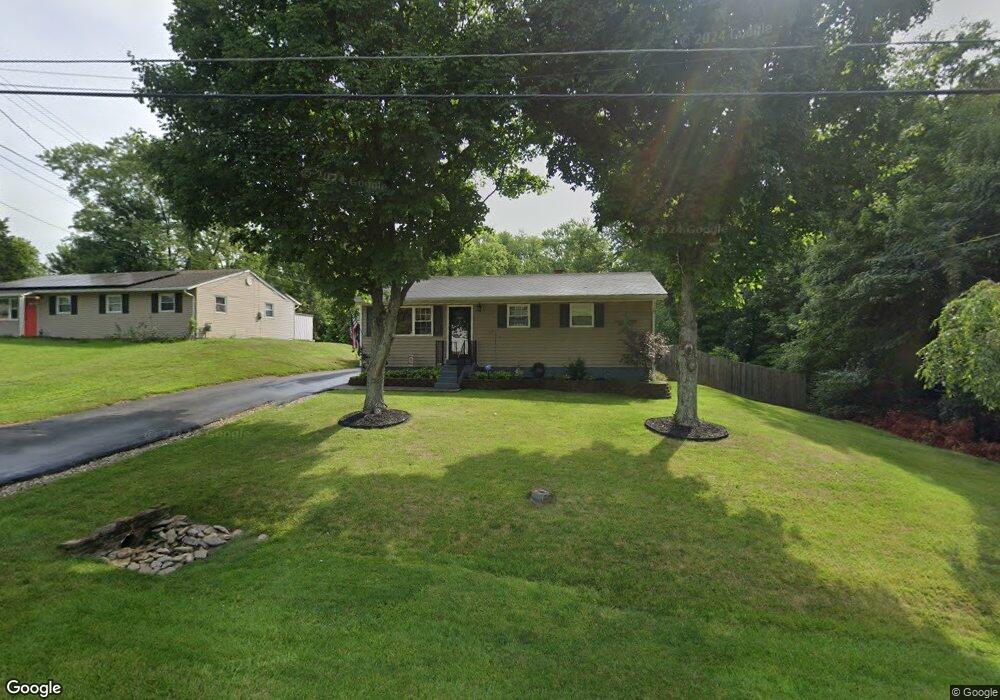
3882 Michael Dr Cincinnati, OH 45255
Estimated Value: $207,703 - $228,000
3
Beds
1
Bath
960
Sq Ft
$228/Sq Ft
Est. Value
About This Home
This home is located at 3882 Michael Dr, Cincinnati, OH 45255 and is currently estimated at $218,926, approximately $228 per square foot. 3882 Michael Dr is a home located in Clermont County with nearby schools including Withamsville-Tobasco Elementary School, West Clermont Middle School, and West Clermont High School.
Ownership History
Date
Name
Owned For
Owner Type
Purchase Details
Closed on
Jul 3, 2008
Sold by
Smith Daniel E and Smith Rhonda J
Bought by
Smith Daniel E and Smith Rhonda J
Current Estimated Value
Purchase Details
Closed on
Sep 8, 1993
Create a Home Valuation Report for This Property
The Home Valuation Report is an in-depth analysis detailing your home's value as well as a comparison with similar homes in the area
Home Values in the Area
Average Home Value in this Area
Purchase History
| Date | Buyer | Sale Price | Title Company |
|---|---|---|---|
| Smith Daniel E | -- | Attorney | |
| -- | $51,000 | -- |
Source: Public Records
Tax History Compared to Growth
Tax History
| Year | Tax Paid | Tax Assessment Tax Assessment Total Assessment is a certain percentage of the fair market value that is determined by local assessors to be the total taxable value of land and additions on the property. | Land | Improvement |
|---|---|---|---|---|
| 2024 | $2,383 | $47,250 | $15,260 | $31,990 |
| 2023 | $2,387 | $47,250 | $15,260 | $31,990 |
| 2022 | $2,091 | $35,880 | $11,550 | $24,330 |
| 2021 | $2,100 | $35,880 | $11,550 | $24,330 |
| 2020 | $2,102 | $35,880 | $11,550 | $24,330 |
| 2019 | $1,531 | $30,560 | $11,030 | $19,530 |
| 2018 | $1,546 | $30,560 | $11,030 | $19,530 |
| 2017 | $1,626 | $30,560 | $11,030 | $19,530 |
| 2016 | $1,626 | $29,090 | $10,500 | $18,590 |
| 2015 | $1,578 | $29,090 | $10,500 | $18,590 |
| 2014 | $1,578 | $29,090 | $10,500 | $18,590 |
| 2013 | $1,685 | $30,730 | $9,800 | $20,930 |
Source: Public Records
Map
Nearby Homes
- 3879 Mark Ct
- 604 Legend Hills
- 595 Davis Rd
- 3805 9 Mile Rd
- 642 Springs Ln
- 535 Davis Rd
- 539 Davis Rd
- 541 Davis Rd
- 670 Mccormick Ln
- 3911 Burgenland Ln
- 671 Mccormick Ln
- 702 W Levitt Place
- 3910 Vineyard Green Dr
- 464 Lenkenann Dr
- 495 Shannon Ln
- 497 Mapleport Way
- 854 Nordyke Rd
- 438 Vineyard Hills Dr
- 1144 White Pine Ct
- 686 Loda Dr
- 3884 Michael Dr
- 3886 Michael Dr
- 3879 Michael Dr
- 0 Michael Dr
- 3883 Michael Dr
- 3890 Michael Dr
- 3875 Michael Dr
- 3885 Michael Dr
- 3872 Michael Dr
- 3873 Michael Dr
- 3889 Michael Dr
- 3870 Michael Dr
- 3892 Michael Dr
- 3871 Michael Dr
- 3894 Mark Ct
- 3868 Michael Dr
- 3894 Michael Dr
- 3880 Mark Ct
- 3878 Mark Ct
- 3884 Mark Ct