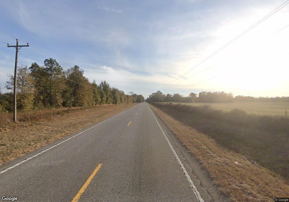
3887 E River Rd Camilla, GA 31730
Estimated Value: $199,037 - $292,000
Studio
1
Bath
1,840
Sq Ft
$136/Sq Ft
Est. Value
About This Home
This home is located at 3887 E River Rd, Camilla, GA 31730 and is currently estimated at $249,759, approximately $135 per square foot. 3887 E River Rd is a home with nearby schools including Bainbridge High School.
Ownership History
Date
Name
Owned For
Owner Type
Purchase Details
Closed on
Dec 12, 2011
Sold by
Copeland Hazel W
Bought by
Copeland Darrell Edwin
Current Estimated Value
Purchase Details
Closed on
Sep 16, 2011
Sold by
Baker Joe Allen
Bought by
Brock Nancy B
Home Financials for this Owner
Home Financials are based on the most recent Mortgage that was taken out on this home.
Original Mortgage
$125,000
Interest Rate
4.24%
Mortgage Type
Unknown
Purchase Details
Closed on
Feb 3, 2009
Sold by
Wilson Erma L
Bought by
Baker Joe Allen
Purchase Details
Closed on
Jan 2, 2007
Sold by
Wilson Erma L
Bought by
Decatur County Development Llc
Create a Home Valuation Report for This Property
The Home Valuation Report is an in-depth analysis detailing your home's value as well as a comparison with similar homes in the area
Purchase History
| Date | Buyer | Sale Price | Title Company |
|---|---|---|---|
| Copeland Darrell Edwin | -- | -- | |
| Brock Nancy B | $150,000 | -- | |
| Baker Joe Allen | -- | -- | |
| Decatur County Development Llc | $49,800 | -- |
Source: Public Records
Mortgage History
| Date | Status | Borrower | Loan Amount |
|---|---|---|---|
| Closed | Brock Nancy B | $125,000 |
Source: Public Records
Tax History Compared to Growth
Tax History
| Year | Tax Paid | Tax Assessment Tax Assessment Total Assessment is a certain percentage of the fair market value that is determined by local assessors to be the total taxable value of land and additions on the property. | Land | Improvement |
|---|---|---|---|---|
| 2024 | $1,951 | $64,783 | $2,980 | $61,803 |
| 2023 | $1,951 | $64,783 | $2,980 | $61,803 |
| 2022 | $2,306 | $79,265 | $2,300 | $76,965 |
| 2021 | $2,304 | $77,720 | $2,000 | $75,720 |
| 2020 | $2,161 | $69,186 | $2,000 | $67,186 |
| 2019 | $1,967 | $60,658 | $2,000 | $58,658 |
| 2018 | $833 | $60,658 | $2,000 | $58,658 |
| 2017 | $1,903 | $60,658 | $2,000 | $58,658 |
| 2016 | $833 | $60,700 | $2,043 | $58,658 |
| 2015 | $1,931 | $60,700 | $2,043 | $58,658 |
| 2014 | $1,684 | $60,700 | $2,043 | $58,658 |
| 2013 | -- | $60,700 | $2,042 | $58,657 |
Source: Public Records
Map
Nearby Homes
- 217 Martin Rd
- 547 Eddie Avery Rd
- 0 Eddie Avery Rd Unit 14399
- 533 Flint River Heights Rd
- 757 Manhole Rd
- 149 County Line Church Rd
- 0 Johnny Freeman Rd
- 0 Georgia 311
- 114 Pr Harrell Rd
- 00 Manhole Rd
- 638 Pinehill Rd
- 2137 Pondtown Rd
- 116 Flint River Heights Rd
- 0 Cumbie Rd
- 104 Brock St
- 141 Aryola Dr
- Tbd Cumbie Rd
- TBD2 Cumbie Rd
- 150 Rivervale Dr
- Tract 1 Rivervale Dr
