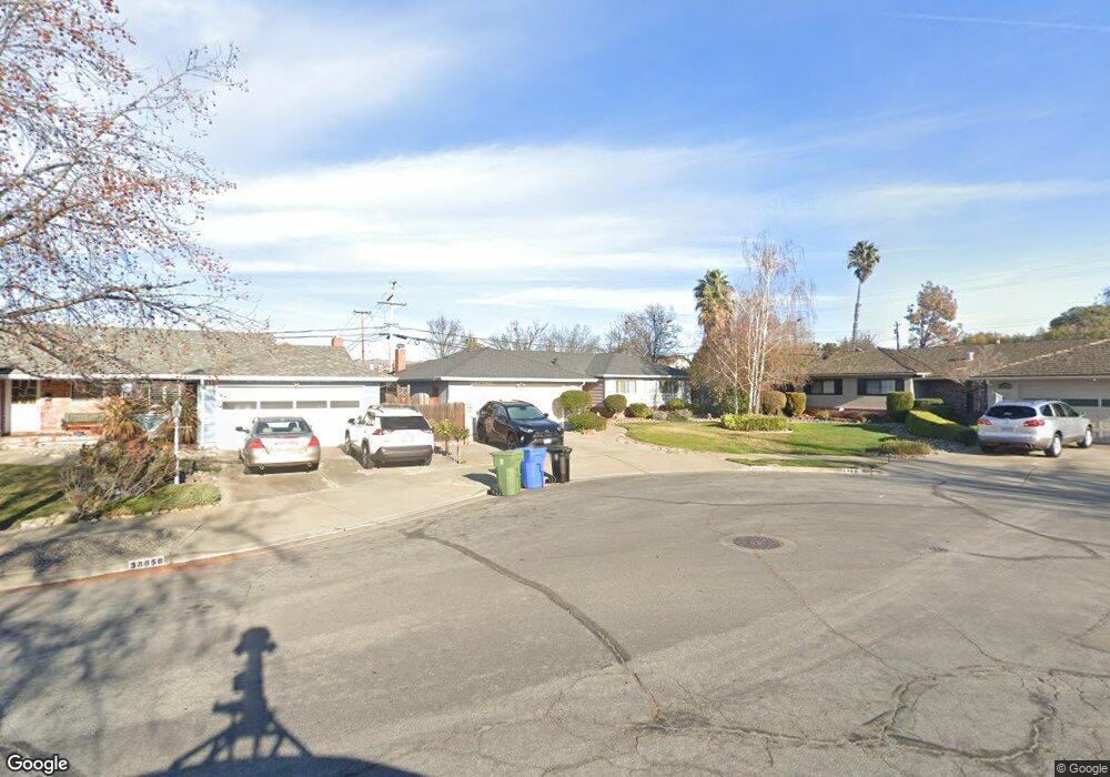
38872 Roanoke Way Fremont, CA 94536
Glenmoor NeighborhoodEstimated Value: $1,553,000 - $1,884,404
4
Beds
2
Baths
1,635
Sq Ft
$1,077/Sq Ft
Est. Value
About This Home
This home is located at 38872 Roanoke Way, Fremont, CA 94536 and is currently estimated at $1,760,851, approximately $1,076 per square foot. 38872 Roanoke Way is a home located in Alameda County with nearby schools including Tom Maloney Elementary School, Centerville Junior High School, and Washington High School.
Ownership History
Date
Name
Owned For
Owner Type
Purchase Details
Closed on
Oct 10, 2005
Sold by
Field Stephen V and Field Cecelia R
Bought by
Relan Ted A and Relan Esther G
Current Estimated Value
Home Financials for this Owner
Home Financials are based on the most recent Mortgage that was taken out on this home.
Original Mortgage
$80,100
Outstanding Balance
$42,657
Interest Rate
5.68%
Mortgage Type
Credit Line Revolving
Estimated Equity
$1,718,194
Create a Home Valuation Report for This Property
The Home Valuation Report is an in-depth analysis detailing your home's value as well as a comparison with similar homes in the area
Home Values in the Area
Average Home Value in this Area
Purchase History
| Date | Buyer | Sale Price | Title Company |
|---|---|---|---|
| Relan Ted A | $801,000 | Fidelity National Title Co | |
| Field Stephen V | -- | Fidelity National Title Co |
Source: Public Records
Mortgage History
| Date | Status | Borrower | Loan Amount |
|---|---|---|---|
| Open | Field Stephen V | $80,100 | |
| Open | Relan Ted A | $640,800 |
Source: Public Records
Tax History Compared to Growth
Tax History
| Year | Tax Paid | Tax Assessment Tax Assessment Total Assessment is a certain percentage of the fair market value that is determined by local assessors to be the total taxable value of land and additions on the property. | Land | Improvement |
|---|---|---|---|---|
| 2025 | $12,897 | $1,087,534 | $328,360 | $766,174 |
| 2024 | $12,897 | $1,066,074 | $321,922 | $751,152 |
| 2023 | $12,558 | $1,052,040 | $315,612 | $736,428 |
| 2022 | $12,404 | $1,024,414 | $309,424 | $721,990 |
| 2021 | $12,097 | $1,004,197 | $303,359 | $707,838 |
| 2020 | $12,161 | $1,000,833 | $300,250 | $700,583 |
| 2019 | $12,020 | $981,216 | $294,365 | $686,851 |
| 2018 | $11,786 | $961,984 | $288,595 | $673,389 |
| 2017 | $10,919 | $894,000 | $268,200 | $625,800 |
| 2016 | $10,544 | $860,000 | $318,000 | $542,000 |
| 2015 | $10,089 | $820,000 | $246,000 | $574,000 |
| 2014 | $9,517 | $770,000 | $231,000 | $539,000 |
Source: Public Records
Map
Nearby Homes
- 4715 Mildred Dr
- 4714 Serra Ave
- 39198 Blacow Rd
- 38324 Blacow Rd
- 4403 Burke Way
- 5033 Blacksand Rd
- 4948 Norris Rd
- 39090 Presidio Way Unit 233
- 39090 Presidio Way Unit 237
- 39530 Dorrington Ct
- 37987 Alta Dr
- 4586 Norris Rd
- 4208 Garland Dr
- 5550 Higo Way
- 5562 Higo Way
- 38532 Cedar Blvd
- 37826 Glenmoor Dr
- 38466 Ambrosia St
- 38496 Ambrosia St
- 4692 Nelson St
- 4904 Brophy Dr
- 38858 Roanoke Way
- 4851 Louise Ct
- 4835 Louise Ct
- 4850 Kathryn Ct
- 4920 Brophy Dr
- 4834 Kathryn Ct
- 38844 Roanoke Way
- 4852 Louise Ct
- 38855 Roanoke Way
- 4936 Brophy Dr
- 4819 Louise Ct
- 38830 Roanoke Way
- 4849 Kathryn Ct
- 4818 Kathryn Ct
- 4836 Louise Ct
- 38831 Roanoke Way
- 4803 Louise Ct
- 4952 Brophy Dr
- 4820 Louise Ct