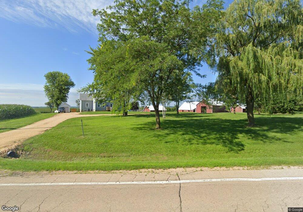
3889 Highway 136 Bryant, IA 52727
Estimated Value: $289,432 - $338,000
3
Beds
2
Baths
2,532
Sq Ft
$122/Sq Ft
Est. Value
About This Home
This home is located at 3889 Highway 136, Bryant, IA 52727 and is currently estimated at $308,358, approximately $121 per square foot. 3889 Highway 136 is a home with nearby schools including Northeast Elementary School and Northeast Middle/High School.
Ownership History
Date
Name
Owned For
Owner Type
Purchase Details
Closed on
Jun 30, 2023
Sold by
Johnson David Gale and Johnson Krista Kay
Bought by
Lashelle Bradley and Lashelle Mckenzie
Current Estimated Value
Home Financials for this Owner
Home Financials are based on the most recent Mortgage that was taken out on this home.
Original Mortgage
$212,000
Outstanding Balance
$206,556
Interest Rate
6.39%
Mortgage Type
New Conventional
Estimated Equity
$101,802
Create a Home Valuation Report for This Property
The Home Valuation Report is an in-depth analysis detailing your home's value as well as a comparison with similar homes in the area
Home Values in the Area
Average Home Value in this Area
Purchase History
| Date | Buyer | Sale Price | Title Company |
|---|---|---|---|
| Lashelle Bradley | $265,000 | None Listed On Document |
Source: Public Records
Mortgage History
| Date | Status | Borrower | Loan Amount |
|---|---|---|---|
| Open | Lashelle Bradley | $212,000 |
Source: Public Records
Tax History Compared to Growth
Tax History
| Year | Tax Paid | Tax Assessment Tax Assessment Total Assessment is a certain percentage of the fair market value that is determined by local assessors to be the total taxable value of land and additions on the property. | Land | Improvement |
|---|---|---|---|---|
| 2024 | $2,626 | $217,930 | $57,320 | $160,610 |
| 2023 | $2,590 | $217,930 | $57,320 | $160,610 |
| 2022 | $1,728 | $141,000 | $57,320 | $83,680 |
| 2021 | $1,734 | $115,700 | $31,770 | $83,930 |
| 2020 | $1,734 | $111,720 | $31,770 | $79,950 |
| 2019 | $1,744 | $111,720 | $0 | $0 |
| 2018 | $1,712 | $111,720 | $0 | $0 |
| 2017 | $1,712 | $103,000 | $0 | $0 |
| 2016 | $1,564 | $103,000 | $0 | $0 |
| 2015 | $1,564 | $94,380 | $0 | $0 |
| 2014 | $1,436 | $103,880 | $0 | $0 |
| 2013 | $1,556 | $0 | $0 | $0 |
Source: Public Records
Map
Nearby Homes
- 3794 170th St
- 411 Jackson Blvd
- 4118 Us Hwy 136 Hwy
- 3983 120th St
- 3451 125th St
- 4460 160th St
- 1770 442nd Ave
- 114 Broadway St
- 123 Broadway St
- 131 Broadway St
- 4456 115th St
- 653 Ferry Rd
- 4581 180th St
- 886 Riverstone Ct
- 401 S Mitchell St
- 4610 8th St NW
- 721 Marvin Ln
- 711 Marvin Ln
- 631 Marvin Ln
- 621 Marvin Ln
- 3879 Highway 136
- 3892 Highway 136
- 1596 390th Ave
- 3894 Highway 136
- 3896 Highway 136
- 3895 Highway 136
- 3875 Highway 136
- 3897 Highway 136
- 3898 Highway 136
- 3885 Highway 136
- 3873 Highway 136
- 1610 390th Ave
- 3903 Highway 136
- 3912 Highway 136
- 3919 Highway 136
- 3872 Highway 136
- 3870 Highway 136
- 1619 390th Ave
- 1558 390th Ave
- 3923 Highway 136