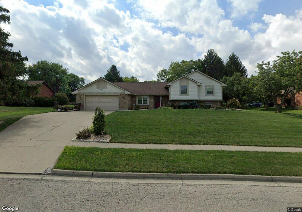
389 Bronston Trail Beavercreek, OH 45430
Estimated Value: $440,000 - $514,000
5
Beds
4
Baths
2,353
Sq Ft
$198/Sq Ft
Est. Value
About This Home
This home is located at 389 Bronston Trail, Beavercreek, OH 45430 and is currently estimated at $466,225, approximately $198 per square foot. 389 Bronston Trail is a home located in Greene County with nearby schools including Fairbrook Elementary School, Herman K Ankeney Middle School, and Beavercreek High School.
Ownership History
Date
Name
Owned For
Owner Type
Purchase Details
Closed on
Aug 4, 2006
Sold by
Bucheit Robert G and Bucheit Christine M
Bought by
Wallace Samuel P and Wallace Marguerite T
Current Estimated Value
Home Financials for this Owner
Home Financials are based on the most recent Mortgage that was taken out on this home.
Original Mortgage
$218,500
Outstanding Balance
$131,824
Interest Rate
6.85%
Mortgage Type
Unknown
Estimated Equity
$334,401
Create a Home Valuation Report for This Property
The Home Valuation Report is an in-depth analysis detailing your home's value as well as a comparison with similar homes in the area
Home Values in the Area
Average Home Value in this Area
Purchase History
| Date | Buyer | Sale Price | Title Company |
|---|---|---|---|
| Wallace Samuel P | $273,500 | None Available |
Source: Public Records
Mortgage History
| Date | Status | Borrower | Loan Amount |
|---|---|---|---|
| Open | Wallace Samuel P | $218,500 |
Source: Public Records
Tax History Compared to Growth
Tax History
| Year | Tax Paid | Tax Assessment Tax Assessment Total Assessment is a certain percentage of the fair market value that is determined by local assessors to be the total taxable value of land and additions on the property. | Land | Improvement |
|---|---|---|---|---|
| 2024 | $8,201 | $125,570 | $27,300 | $98,270 |
| 2023 | $8,201 | $125,570 | $27,300 | $98,270 |
| 2022 | $7,778 | $105,130 | $21,000 | $84,130 |
| 2021 | $7,620 | $105,130 | $21,000 | $84,130 |
| 2020 | $7,677 | $105,130 | $21,000 | $84,130 |
| 2019 | $6,780 | $84,740 | $17,280 | $67,460 |
| 2018 | $5,981 | $84,740 | $17,280 | $67,460 |
| 2017 | $6,219 | $84,740 | $17,280 | $67,460 |
| 2016 | $6,219 | $85,310 | $17,280 | $68,030 |
| 2015 | $6,182 | $85,310 | $17,280 | $68,030 |
| 2014 | $6,089 | $85,310 | $17,280 | $68,030 |
Source: Public Records
Map
Nearby Homes
- 2658 Tompkins Dr
- 170 Saundra Ct
- 4174 White Hawk Ct
- 4134 Cambridge Trail
- 97 Apple Blossom Place
- 3961 Ephrata Ct
- 564 Plattner Trail
- 185 Rosillo Dr
- 65 Aberdeen Village Dr Unit 65
- 24 Rosell Dr
- 4310 Straight Arrow Rd Unit 4310
- 4324 Straight Arrow Rd Unit 4324
- 3978 Indian Ripple Rd
- 611 Cape Cod Ct
- 4011 Willow Run Dr
- 520 Vineland Trail
- 641 Angler Ct
- 615 Bendwood Way
- 3917 E Summit Ridge Dr
- 4485 Longmeadow Ln
- 454 Ramsgate Dr
- 369 Bronston Trail
- 446 Ramsgate Dr
- 390 Bronston Trail
- 438 Ramsgate Dr
- 460 Ramsgate Dr
- 4102 Pennywood Dr
- 362 Bronston Trail
- 4112 Pennywood Dr
- 455 Ramsgate Dr
- 461 Ramsgate Dr
- 4088 W Kenderton Trail
- 445 Ramsgate Dr
- 4122 Pennywood Dr
- 465 Ramsgate Dr
- 436 Ramsgate Dr
- 352 Bronston Trail
- 4023 S Emerald Ct
- 4132 Pennywood Dr
- 469 Ramsgate Dr