Estimated Value: $468,366 - $521,000
2
Beds
1
Bath
1,336
Sq Ft
$367/Sq Ft
Est. Value
About This Home
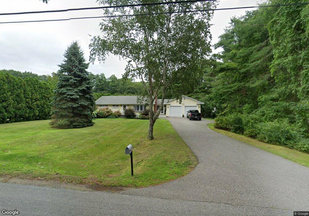
This home is located at 389 Captain Thomas Rd, Wells, ME 04090 and is currently estimated at $490,592, approximately $367 per square foot. 389 Captain Thomas Rd is a home located in York County with nearby schools including Wells Junior High School, Wells Elementary School, and Wells High School.
Ownership History
Date
Name
Owned For
Owner Type
Purchase Details
Closed on
Oct 21, 2022
Sold by
Stevens Pinederosa T
Bought by
Merriam Reynolds Llc
Current Estimated Value
Home Financials for this Owner
Home Financials are based on the most recent Mortgage that was taken out on this home.
Original Mortgage
$3,700,000
Outstanding Balance
$3,556,743
Interest Rate
5.89%
Mortgage Type
Purchase Money Mortgage
Estimated Equity
-$3,066,151
Create a Home Valuation Report for This Property
The Home Valuation Report is an in-depth analysis detailing your home's value as well as a comparison with similar homes in the area
Home Values in the Area
Average Home Value in this Area
Purchase History
| Date | Buyer | Sale Price | Title Company |
|---|---|---|---|
| Merriam Reynolds Llc | -- | None Available |
Source: Public Records
Mortgage History
| Date | Status | Borrower | Loan Amount |
|---|---|---|---|
| Open | Merriam Reynolds Llc | $3,700,000 |
Source: Public Records
Tax History Compared to Growth
Tax History
| Year | Tax Paid | Tax Assessment Tax Assessment Total Assessment is a certain percentage of the fair market value that is determined by local assessors to be the total taxable value of land and additions on the property. | Land | Improvement |
|---|---|---|---|---|
| 2024 | $2,401 | $394,960 | $136,250 | $258,710 |
| 2023 | $2,354 | $394,960 | $136,250 | $258,710 |
| 2022 | $2,004 | $191,550 | $61,890 | $129,660 |
| 2021 | $2,015 | $191,550 | $56,190 | $135,360 |
| 2020 | $2,007 | $191,550 | $61,890 | $129,660 |
| 2019 | $1,990 | $191,000 | $61,890 | $129,110 |
| 2018 | $986 | $191,000 | $61,890 | $129,110 |
| 2017 | $1,918 | $188,820 | $61,890 | $126,930 |
| 2016 | $1,890 | $187,920 | $61,890 | $126,030 |
| 2015 | $1,870 | $187,920 | $61,890 | $126,030 |
| 2013 | $1,711 | $187,560 | $61,890 | $125,670 |
Source: Public Records
Map
Nearby Homes
- 191 Tatnic Rd Unit 73
- 173 Emerson Dr
- 580 Hiltons Ln Unit 4
- 31 Rebecca Rd
- 64 Old Kings Hwy
- Lot 2 Maling Ln
- 56 Kings Hwy
- 12 Whiporwill Dr
- 53 Spinnaker Ridge Dr Unit 8
- 32 Queens Way
- 32 Tatnic Rd
- 2 Winn Trail
- 59 Meadow Ln
- 25 Sawmill Ln
- 12 Scotch Hill Trail Unit 2
- 76 Post Rd Unit 17M &18M
- 718 Main St Unit A3
- 3 Natures Way
- 1 Natures Way
- 88 Cedar Ln
- 400 Captain Thomas Rd
- 128 N Village Rd Unit 9
- 128 N Village Rd
- 128 N Village Rd Unit F6
- 354 Captain Thomas Rd
- 368 Captain Thomas Rd
- 140 Foot Bridge Village Unit 140
- 0 Tatnic & No Village Rd
- 157 N Village Rd
- 206 N Village Rd
- 238 N Village Rd
- 139 N Village Rd
- 276 Captain Thomas Rd
- 151 N Village Rd
- 0 Captain Thomas
- 177 N Village Rd
- 292 Captain Thomas Rd
- 299 Captain Thomas Rd
- 81 N Village Rd
- 256 N Village Rd