389 Fairview Rd Brooks, GA 30205
Spalding County NeighborhoodEstimated Value: $451,000 - $661,000
Studio
3
Baths
2,384
Sq Ft
$225/Sq Ft
Est. Value
About This Home
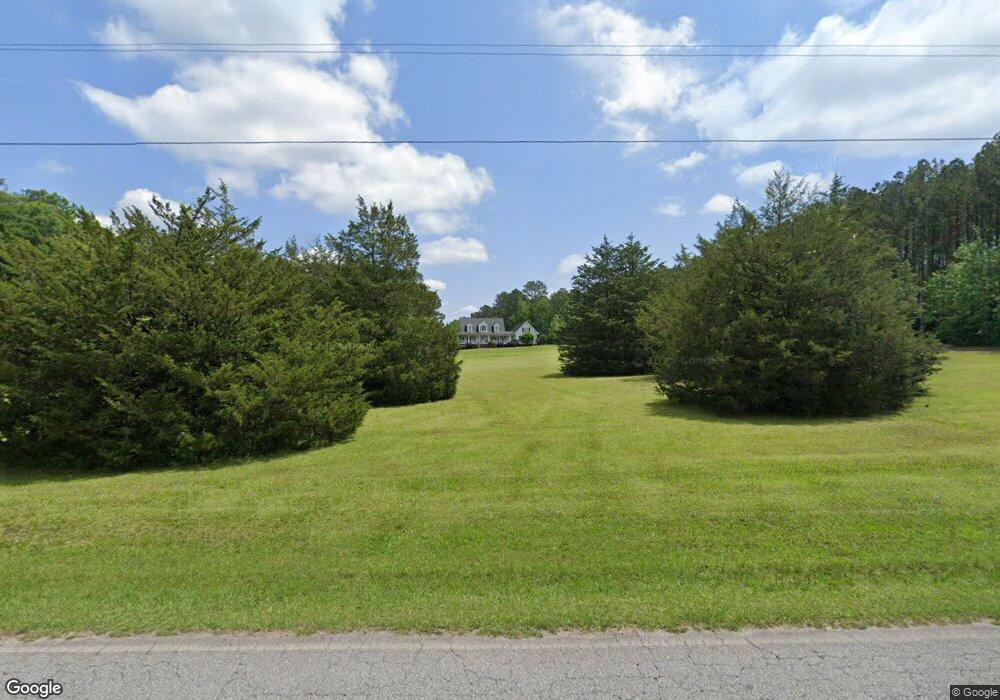
This home is located at 389 Fairview Rd, Brooks, GA 30205 and is currently estimated at $536,291, approximately $224 per square foot. 389 Fairview Rd is a home located in Spalding County with nearby schools including Moreland Road Elementary School, Carver Road Middle School, and Griffin High School.
Ownership History
Date
Name
Owned For
Owner Type
Purchase Details
Closed on
Jun 15, 1998
Sold by
Mauldin Harry H and Mauldin Dorothy K
Bought by
Smith S A and Smith Ann S
Current Estimated Value
Home Financials for this Owner
Home Financials are based on the most recent Mortgage that was taken out on this home.
Original Mortgage
$112,500
Interest Rate
6.96%
Mortgage Type
Seller Take Back
Purchase Details
Closed on
May 3, 1979
Sold by
Sansom Dewey and Sansom Bertha
Bought by
Mauldin Dorothy K
Purchase Details
Closed on
Jul 31, 1974
Sold by
Mauldin H H
Bought by
Mauldin Dorothy K
Purchase Details
Closed on
Aug 24, 1970
Sold by
Mauldin H H
Bought by
Mauldin Dorothy K
Purchase Details
Closed on
Apr 7, 1966
Sold by
Johnson Mrs Frances
Bought by
Mauldin H H
Create a Home Valuation Report for This Property
The Home Valuation Report is an in-depth analysis detailing your home's value as well as a comparison with similar homes in the area
Home Values in the Area
Average Home Value in this Area
Purchase History
| Date | Buyer | Sale Price | Title Company |
|---|---|---|---|
| Smith S A | $125,000 | -- | |
| Mauldin Dorothy K | $55,000 | -- | |
| Mauldin Dorothy K | -- | -- | |
| Mauldin Dorothy K | -- | -- | |
| Mauldin H H | $13,800 | -- |
Source: Public Records
Mortgage History
| Date | Status | Borrower | Loan Amount |
|---|---|---|---|
| Previous Owner | Smith S A | $112,500 |
Source: Public Records
Tax History
| Year | Tax Paid | Tax Assessment Tax Assessment Total Assessment is a certain percentage of the fair market value that is determined by local assessors to be the total taxable value of land and additions on the property. | Land | Improvement |
|---|---|---|---|---|
| 2025 | $4,476 | $218,210 | $53,462 | $164,748 |
| 2024 | $4,446 | $204,077 | $53,462 | $150,615 |
| 2023 | $4,446 | $204,077 | $53,462 | $150,615 |
| 2022 | $4,138 | $202,110 | $50,916 | $151,194 |
| 2021 | $3,677 | $149,210 | $31,260 | $117,950 |
| 2020 | $3,326 | $127,440 | $31,260 | $96,180 |
| 2019 | $3,894 | $127,440 | $31,260 | $96,180 |
| 2018 | $3,761 | $121,422 | $31,260 | $90,162 |
| 2017 | $3,654 | $121,422 | $31,260 | $90,162 |
| 2016 | $3,714 | $121,422 | $0 | $0 |
| 2015 | $3,820 | $121,422 | $0 | $0 |
| 2014 | $4,906 | $123,421 | $33,259 | $90,162 |
Source: Public Records
Map
Nearby Homes
- 100 Fairview Rd
- 161 Mockingbird Ln
- 210 Mockingbird Ln
- 6475 Newnan Rd
- 240 Avalee Rd
- LOT 7 Mask Road - Hanner's Farm S
- 460 Mask Rd
- LOT 8 Mask Road - Hanner's Farm S
- LOT 5 Mask Road - Hanner's Farm N
- LOT 6 Mask Road - Hanner's Farm N
- LOT 3 Mask Road - Hanner's Farm N
- LOT 4 Mask Road - Hanner's Farm N
- 152 Carson Rd
- 9902 Highway 16
- 0 Mask Rd Unit 10671477
- 160 Carrington Ln
- 130 Brooklet Way
- 30 Ashwood Ct
- 190 Carl Williams Rd
- 2337 Hollonville Rd
- 339 Fairview Rd
- 451 Fairview Rd
- 366 Fairview Rd
- 0 Sandy Ln Unit B 7000519
- 0 Sandy Ln Unit A 7000485
- 80 Sandy Ln
- 706 Poplar Dr
- 660 Poplar Dr
- 308 Fairview Rd
- 90 Sandy Ln
- 500 Fairview Rd
- 214 Sandy Ln
- 315 Fairview Rd
- 550 Poplar Dr
- 612 Poplar Dr
- 120 Sandy Ln
- 25 Courtland Rd
- 552 Poplar Dr
- 70 Courtland Rd
- 488 Poplar Dr
Your Personal Tour Guide
Ask me questions while you tour the home.