389 N Whitby Woodlands Dr Unit 7 Alpine, UT 84004
Estimated Value: $1,708,000 - $1,812,000
3
Beds
4
Baths
3,046
Sq Ft
$580/Sq Ft
Est. Value
About This Home
This home is located at 389 N Whitby Woodlands Dr Unit 7, Alpine, UT 84004 and is currently estimated at $1,766,964, approximately $580 per square foot. 389 N Whitby Woodlands Dr Unit 7 is a home located in Utah County with nearby schools including Westfield School, Timberline Middle School, and Lone Peak High School.
Ownership History
Date
Name
Owned For
Owner Type
Purchase Details
Closed on
Jul 7, 2025
Sold by
Garces Raul and Garces Steffanie
Bought by
Dmb Firm Foundation Trust and Beck
Current Estimated Value
Home Financials for this Owner
Home Financials are based on the most recent Mortgage that was taken out on this home.
Original Mortgage
$1,000,000
Outstanding Balance
$997,497
Interest Rate
4.79%
Mortgage Type
New Conventional
Estimated Equity
$769,467
Purchase Details
Closed on
Apr 13, 2022
Sold by
Raul Garces
Bought by
Garces Raul and Garces Steffanie
Home Financials for this Owner
Home Financials are based on the most recent Mortgage that was taken out on this home.
Original Mortgage
$1,368,000
Interest Rate
3.91%
Mortgage Type
Construction
Purchase Details
Closed on
Apr 23, 2021
Sold by
Alpine Ridge Estates Llc and Alpine Ridge Estates 2 Llc
Bought by
Garces Raul
Create a Home Valuation Report for This Property
The Home Valuation Report is an in-depth analysis detailing your home's value as well as a comparison with similar homes in the area
Home Values in the Area
Average Home Value in this Area
Purchase History
| Date | Buyer | Sale Price | Title Company |
|---|---|---|---|
| Dmb Firm Foundation Trust | -- | Cottonwood Title | |
| Garces Raul | -- | Meridian Title | |
| Garces Raul | -- | Gt Title Services |
Source: Public Records
Mortgage History
| Date | Status | Borrower | Loan Amount |
|---|---|---|---|
| Open | Dmb Firm Foundation Trust | $1,000,000 | |
| Previous Owner | Garces Raul | $1,368,000 | |
| Closed | Garces Raul | $0 |
Source: Public Records
Tax History Compared to Growth
Tax History
| Year | Tax Paid | Tax Assessment Tax Assessment Total Assessment is a certain percentage of the fair market value that is determined by local assessors to be the total taxable value of land and additions on the property. | Land | Improvement |
|---|---|---|---|---|
| 2025 | $9,547 | $1,079,265 | $511,600 | $1,450,700 |
| 2024 | $9,547 | $1,112,705 | $0 | $0 |
| 2023 | $3,540 | $442,900 | $0 | $0 |
| 2022 | $3,820 | $464,200 | $464,200 | $0 |
| 2021 | $0 | $386,800 | $386,800 | $0 |
Source: Public Records
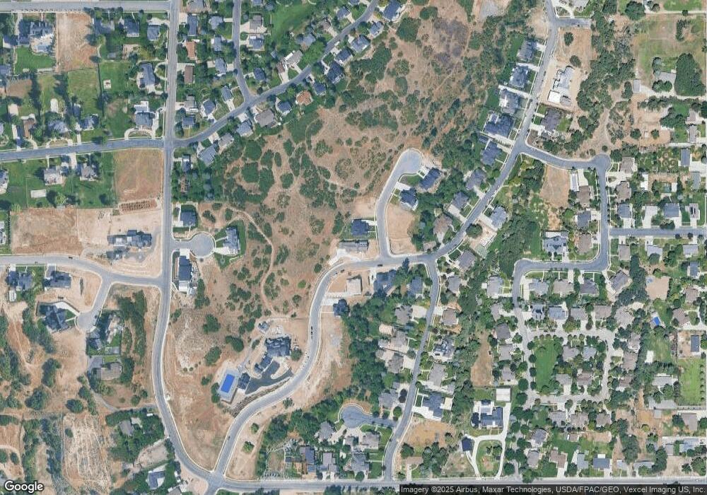
Map
Nearby Homes
- 501 W Devey Dr
- 35 Sledhill Cir Unit 2
- 443 Lupine Dr Unit 7
- 760 Eagleview Dr
- 820 Eagleview Dr
- 30 S Main St
- 659 E Pioneer Rd
- 1249 E Pioneer Rd
- 48 N 100 E
- 475 Grove Dr
- 259 Twin River Loop
- 177 W Canyon Crest Rd
- 250 S Main St Unit 7
- 250 S Main St Unit 20
- 250 S Main St Unit 25
- 201 E Red Pine Dr Unit 17
- 522 N Pfeifferhorn Dr
- 19 E Elk Ct
- 591 N Pfeifferhorn Dr
- 653 Hampton Ct
- 421 N Soldier Cir Unit 8
- 435 N Soldier Cir Unit 9
- 435 N Soldier Cir Unit 9
- 394 N Whitby Woodlands Dr
- 354 N Whitby Woodlands Dr Unit 5
- 354 N Whitby Woodlands Dr
- 428 N Soldier Cir Unit 11
- 372 N Whitby Woodlands Dr Unit 6
- 379 Deerfield Dr
- 351 Deerfield Dr
- 446 N Soldier Cir
- 327 Deerfield Dr
- 405 N Whitby Woodlands Dr
- 468 N Soldier Cir
- 376 Deerfield Dr
- 376 Deerfield Dr Unit 2
- 303 Deerfield Dr
- 358 N Deerfield Dr W Unit 12
- 430 N 400 W
- 430 N 400 W Unit 8