389 Scenic Dr Stoddard, NH 03464
Estimated Value: $358,000 - $436,000
3
Beds
2
Baths
1,188
Sq Ft
$328/Sq Ft
Est. Value
About This Home
This home is located at 389 Scenic Dr, Stoddard, NH 03464 and is currently estimated at $389,425, approximately $327 per square foot. 389 Scenic Dr is a home with nearby schools including James Faulkner Elementary School, Mayland Early College High School, and Keene High School.
Ownership History
Date
Name
Owned For
Owner Type
Purchase Details
Closed on
Sep 9, 2020
Sold by
Wheeler Matthew S and Wheeler Helen M
Bought by
Hayes Brandi L and Hayes Kaitlyn A
Current Estimated Value
Home Financials for this Owner
Home Financials are based on the most recent Mortgage that was taken out on this home.
Original Mortgage
$204,232
Outstanding Balance
$181,242
Interest Rate
2.9%
Mortgage Type
FHA
Estimated Equity
$208,183
Purchase Details
Closed on
May 20, 2016
Sold by
Dr Horton
Bought by
Wheeler Matthew and Wheeler Helene
Home Financials for this Owner
Home Financials are based on the most recent Mortgage that was taken out on this home.
Original Mortgage
$157,700
Interest Rate
3.58%
Create a Home Valuation Report for This Property
The Home Valuation Report is an in-depth analysis detailing your home's value as well as a comparison with similar homes in the area
Home Values in the Area
Average Home Value in this Area
Purchase History
| Date | Buyer | Sale Price | Title Company |
|---|---|---|---|
| Hayes Brandi L | $208,000 | None Available | |
| Wheeler Matthew | -- | -- |
Source: Public Records
Mortgage History
| Date | Status | Borrower | Loan Amount |
|---|---|---|---|
| Open | Hayes Brandi L | $204,232 | |
| Previous Owner | Wheeler Matthew | $157,700 | |
| Previous Owner | Wheeler Matthew | -- | |
| Previous Owner | Wheeler Matthew | $169,680 |
Source: Public Records
Tax History Compared to Growth
Tax History
| Year | Tax Paid | Tax Assessment Tax Assessment Total Assessment is a certain percentage of the fair market value that is determined by local assessors to be the total taxable value of land and additions on the property. | Land | Improvement |
|---|---|---|---|---|
| 2024 | $3,134 | $266,470 | $77,500 | $188,970 |
| 2023 | $2,984 | $175,740 | $50,600 | $125,140 |
| 2022 | $2,870 | $175,740 | $50,600 | $125,140 |
| 2021 | $2,912 | $175,740 | $50,600 | $125,140 |
| 2020 | $7,959 | $175,740 | $50,600 | $125,140 |
| 2019 | $2,654 | $175,740 | $50,600 | $125,140 |
| 2018 | $2,348 | $146,870 | $41,000 | $105,870 |
| 2016 | $2,202 | $146,870 | $41,000 | $105,870 |
| 2014 | $2,337 | $146,870 | $41,000 | $105,870 |
| 2013 | $2,497 | $158,670 | $51,000 | $107,670 |
Source: Public Records
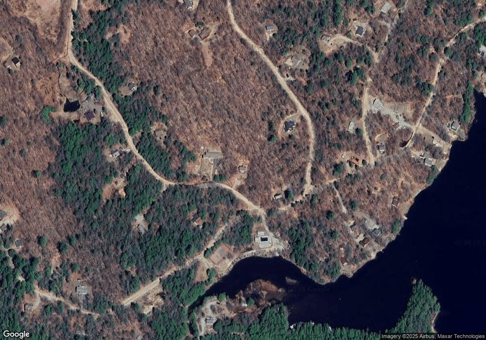
Map
Nearby Homes
- 00 Kennedy Brook Dr Unit 11
- 00 Scenic Dr Unit 22
- 114 Eva Ln
- 116 Beaver Lake Dr
- 906 Shedd Hill Rd
- 1016 Shedd Hill Rd
- 1018 Route 123 N
- 1025 Route 123 N
- 61 Old Antrim Rd
- 2167 Valley Rd
- 42-11 Route 9
- 0 Adams Dr
- 286 Presidential Dr
- 0 Juniper Hill Rd Unit 5051120
- 335 Coolidge Dr
- 67 Lang Rd
- 6 Mill St
- 172 Nh-Rte 123 Route
- 0 Washington Pond Rd Unit 113
- 0 N Main St Unit 29
- 355 Scenic Dr
- 383 Kennedy Brook Dr
- 389 Kennedy Brook Dr
- 23 Red Coat Ln
- 23 Red Coat Ln
- 301 Scenic Dr
- 343 Kennedy Brook Dr
- 116 Red Coat Ln
- 0 Red Coat Ln Unit 4622643
- 0 Red Coat Ln Unit 93 4627108
- 0 Red Coat Ln Unit 4188000
- 0 Red Coat Ln Unit 4904930
- 0 Red Coat Ln Unit 4086839
- 0 Red Coat Ln Unit 4080192
- 0 Red Coat Ln Unit 4508879
- 0 Red Coat Ln Unit 4415515
- 251 Scenic Dr
- 25 Beaver Lake Dr
- 435 Kennedy Brook Dr
- 78 Red Coat Ln