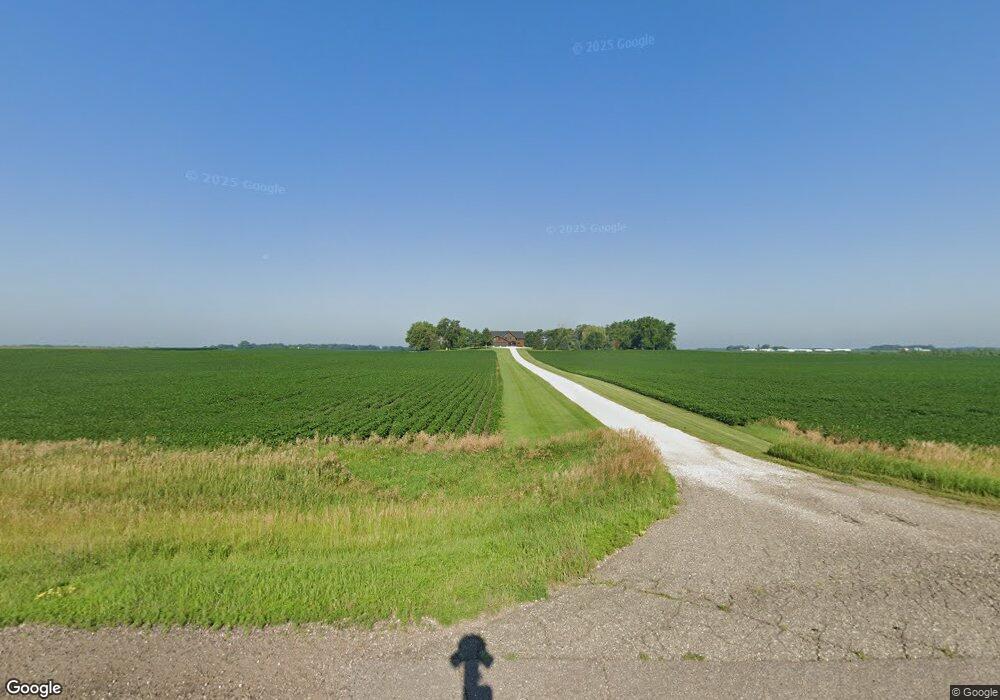
389 State Highway 15 Fairmont, MN 56031
Estimated Value: $733,446 - $761,000
6
Beds
8
Baths
6,252
Sq Ft
$120/Sq Ft
Est. Value
About This Home
This home is located at 389 State Highway 15, Fairmont, MN 56031 and is currently estimated at $748,482, approximately $119 per square foot. 389 State Highway 15 is a home located in Martin County with nearby schools including Fairmont Elementary School and Fairmont Junior/Senior High School.
Ownership History
Date
Name
Owned For
Owner Type
Purchase Details
Closed on
Nov 30, 2020
Sold by
Bremer Dale
Bought by
Mix Jason and Mix Leann
Current Estimated Value
Home Financials for this Owner
Home Financials are based on the most recent Mortgage that was taken out on this home.
Original Mortgage
$260,000
Outstanding Balance
$231,890
Interest Rate
2.8%
Mortgage Type
VA
Estimated Equity
$516,592
Purchase Details
Closed on
Jun 13, 2006
Sold by
Brener Dale and Brener Peggy
Bought by
Dale And Peggy Brener Family Living Trus
Home Financials for this Owner
Home Financials are based on the most recent Mortgage that was taken out on this home.
Original Mortgage
$370,000
Interest Rate
6.73%
Mortgage Type
New Conventional
Create a Home Valuation Report for This Property
The Home Valuation Report is an in-depth analysis detailing your home's value as well as a comparison with similar homes in the area
Home Values in the Area
Average Home Value in this Area
Purchase History
| Date | Buyer | Sale Price | Title Company |
|---|---|---|---|
| Mix Jason | $550,000 | None Available | |
| Dale And Peggy Brener Family Living Trus | -- | None Available | |
| Mix Jason Jason | $550,000 | -- |
Source: Public Records
Mortgage History
| Date | Status | Borrower | Loan Amount |
|---|---|---|---|
| Open | Mix Jason | $260,000 | |
| Previous Owner | Dale And Peggy Brener Family Living Trus | $370,000 | |
| Closed | Mix Jason Jason | $260,000 |
Source: Public Records
Tax History Compared to Growth
Tax History
| Year | Tax Paid | Tax Assessment Tax Assessment Total Assessment is a certain percentage of the fair market value that is determined by local assessors to be the total taxable value of land and additions on the property. | Land | Improvement |
|---|---|---|---|---|
| 2025 | $4,152 | $721,000 | $92,600 | $628,400 |
| 2024 | $5,216 | $680,800 | $82,600 | $598,200 |
| 2023 | $5,560 | $679,100 | $82,600 | $596,500 |
| 2022 | $5,990 | $629,900 | $72,200 | $557,700 |
| 2021 | $5,318 | $628,700 | $62,900 | $565,800 |
| 2020 | $4,642 | $592,500 | $53,400 | $539,100 |
| 2019 | $4,710 | $553,400 | $50,400 | $503,000 |
| 2018 | $4,624 | $505,500 | $50,400 | $455,100 |
| 2017 | $4,364 | $487,000 | $50,400 | $436,600 |
| 2016 | $4,176 | $489,200 | $52,600 | $436,600 |
| 2015 | $3,713 | $488,900 | $52,300 | $436,600 |
| 2013 | $10 | $377,700 | $32,483 | $345,217 |
Source: Public Records
Map
Nearby Homes
- 1011 Iowa 15
- 276 180th Ave
- 775 200th Ave
- Lot 5 200th Ave
- Lot 1 200th Ave
- Lot 2 200th Ave
- Lot 3 200th Ave
- Lot 4 200th Ave
- Lot 6 200th Ave
- 2109 95th St
- 2214 Red Bird Ln
- 2218 Red Bird Ln
- 2224 Red Bird Ln
- 2413 Albion Ave
- 1910 Knollwood Dr
- 1581 Meadowlark Ln
- 1600 S Prairie Ave
- 1415 Oak Beach Dr
- 954 Liberty Ln
- 1365 Oak Beach Dr
- 389 State Highway 15
- 389 State Highway 15
- 389 Minnesota 15
- 376 State Highway 15
- 424 State Highway 15
- 424 State Highway 15
- 424 State Highway 15
- 285 200th Ave
- 351 200th Ave
- 347 200th Ave
- 341 200th Ave
- 395 200th Ave
- 313 State Highway 15
- 405 200th Ave
- 335 200th Ave
- 331 200th Ave
- 428 200th Ave
- 2047 30th St
- 2047 30th St
- 315 200th Ave