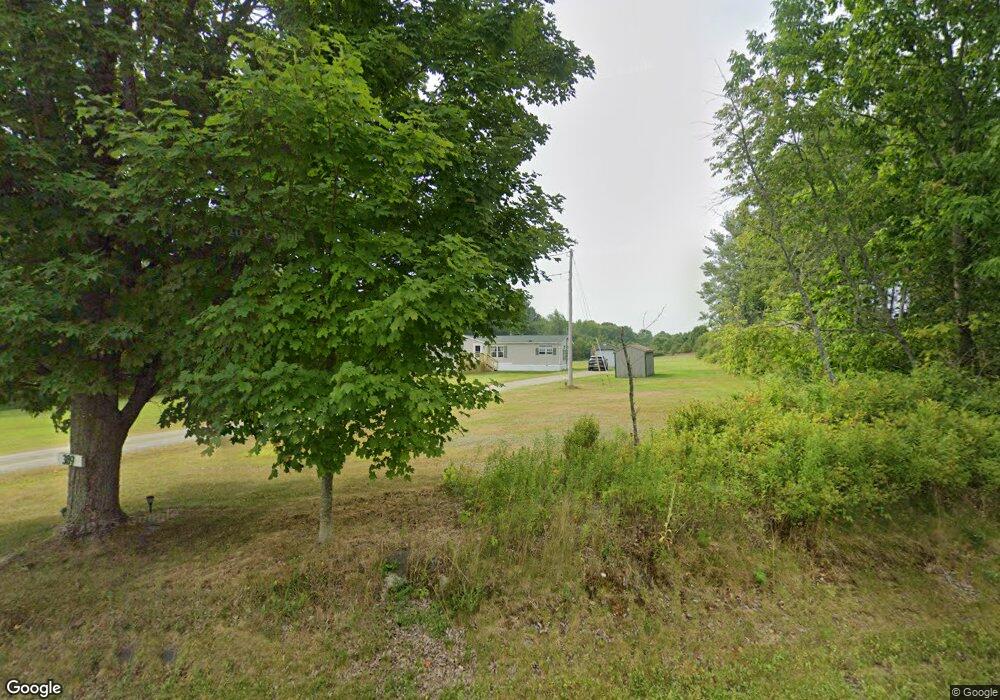
389 Stetson Rd Newport, ME 04953
Estimated Value: $227,763 - $318,000
--
Bed
--
Bath
2,868
Sq Ft
$96/Sq Ft
Est. Value
About This Home
This home is located at 389 Stetson Rd, Newport, ME 04953 and is currently estimated at $274,691, approximately $95 per square foot. 389 Stetson Rd is a home with nearby schools including Sebasticook Valley Elementary School and Nokomis Regional Middle School/High School.
Create a Home Valuation Report for This Property
The Home Valuation Report is an in-depth analysis detailing your home's value as well as a comparison with similar homes in the area
Home Values in the Area
Average Home Value in this Area
Tax History Compared to Growth
Tax History
| Year | Tax Paid | Tax Assessment Tax Assessment Total Assessment is a certain percentage of the fair market value that is determined by local assessors to be the total taxable value of land and additions on the property. | Land | Improvement |
|---|---|---|---|---|
| 2024 | $1,895 | $108,300 | $36,800 | $71,500 |
| 2023 | $1,650 | $101,200 | $34,400 | $66,800 |
| 2022 | $1,568 | $80,000 | $27,200 | $52,800 |
| 2021 | $1,576 | $76,500 | $26,000 | $50,500 |
| 2020 | $1,545 | $75,000 | $25,500 | $49,500 |
| 2019 | $1,130 | $70,700 | $24,000 | $46,700 |
| 2018 | $1,030 | $59,300 | $24,000 | $35,300 |
| 2017 | $1,186 | $59,300 | $24,000 | $35,300 |
| 2016 | $1,199 | $61,800 | $24,000 | $37,800 |
| 2015 | $1,149 | $64,200 | $24,000 | $40,200 |
| 2014 | $1,146 | $66,600 | $24,000 | $42,600 |
Source: Public Records
Map
Nearby Homes
- 250 Stetson Rd
- 0 Stetson Rd
- 395 Stetson Rd
- 382 Stetson Rd
- 371 Stetson Rd
- 358 Stetson Rd
- 8 Hall Rd
- 341 Stetson Rd
- 30 Hall Rd
- 326 Stetson Rd
- 447 Stetson Rd
- 314 Stetson Rd
- 17 Burgess Rd
- 464 Stetson Rd
- 302 Stetson Rd
- 238 Palmer Rd
- 0 Durham Bridge Rd Unit 819002
- 0 Durham Bridge Rd Unit 817142
- 0 Durham Bridge Rd Unit 808051
- 0 Durham Bridge Rd Unit 603229