Estimated Value: $178,000 - $231,000
Studio
2
Baths
1,680
Sq Ft
$120/Sq Ft
Est. Value
About This Home
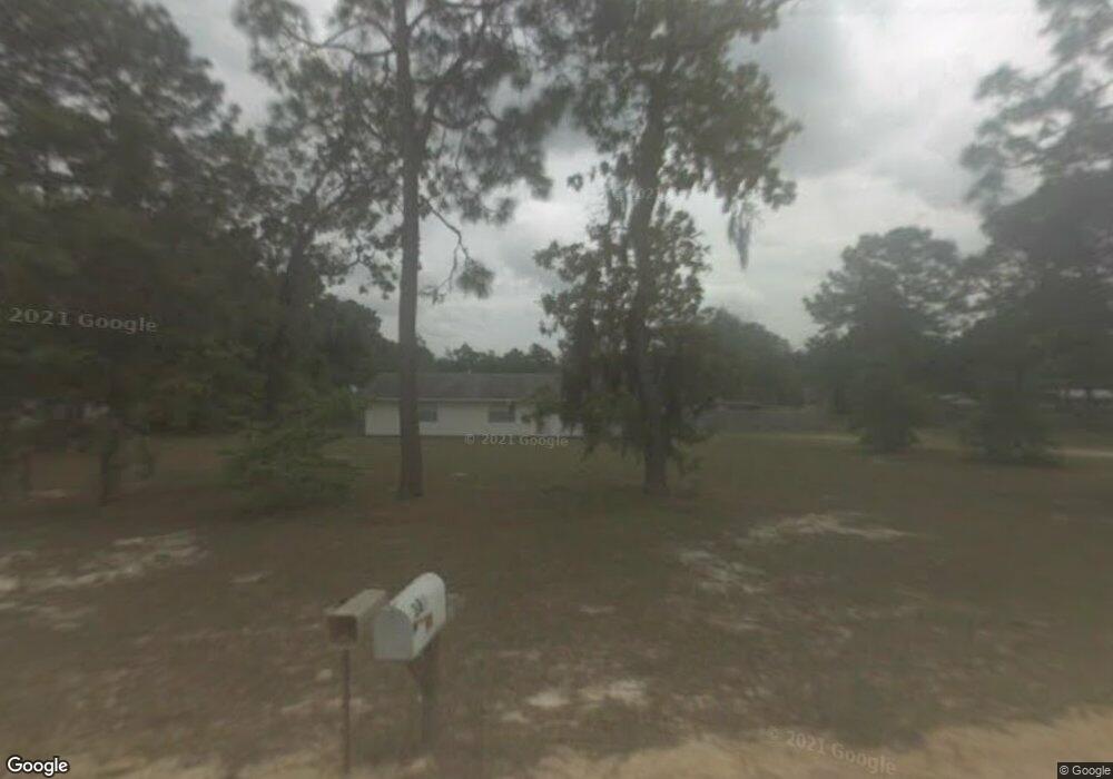
This home is located at 389 Thurmon Loop Rd, Jesup, GA 31545 and is currently estimated at $200,928, approximately $119 per square foot. 389 Thurmon Loop Rd is a home located in Wayne County with nearby schools including Bacon Elementary School, Martha Puckett Middle School, and Wayne County High School.
Ownership History
Date
Name
Owned For
Owner Type
Purchase Details
Closed on
Apr 1, 1999
Sold by
Stafford Theresa
Bought by
Rice Mark E
Current Estimated Value
Purchase Details
Closed on
Nov 1, 1998
Bought by
Stafford Theresa
Purchase Details
Closed on
Mar 1, 1979
Purchase Details
Closed on
Oct 1, 1978
Purchase Details
Closed on
Jun 1, 1976
Purchase Details
Closed on
Dec 1, 1975
Purchase Details
Closed on
Aug 1, 1974
Create a Home Valuation Report for This Property
The Home Valuation Report is an in-depth analysis detailing your home's value as well as a comparison with similar homes in the area
Purchase History
| Date | Buyer | Sale Price | Title Company |
|---|---|---|---|
| Rice Mark E | $53,600 | -- | |
| Stafford Theresa | -- | -- | |
| -- | $3,000 | -- | |
| -- | -- | -- | |
| -- | -- | -- | |
| -- | -- | -- | |
| -- | -- | -- |
Source: Public Records
Tax History
| Year | Tax Paid | Tax Assessment Tax Assessment Total Assessment is a certain percentage of the fair market value that is determined by local assessors to be the total taxable value of land and additions on the property. | Land | Improvement |
|---|---|---|---|---|
| 2025 | -- | $49,952 | $4,000 | $45,952 |
| 2024 | -- | $48,398 | $4,000 | $44,398 |
| 2023 | $1,247 | $41,578 | $2,729 | $38,849 |
| 2022 | $1,014 | $33,808 | $2,729 | $31,079 |
| 2021 | $854 | $28,472 | $2,729 | $25,743 |
| 2020 | $800 | $27,927 | $2,184 | $25,743 |
| 2019 | $824 | $27,927 | $2,184 | $25,743 |
| 2018 | $824 | $27,927 | $2,184 | $25,743 |
| 2017 | $709 | $27,927 | $2,184 | $25,743 |
| 2016 | $686 | $27,927 | $2,184 | $25,743 |
| 2014 | $688 | $27,927 | $2,184 | $25,743 |
| 2013 | -- | $27,926 | $2,184 | $25,742 |
Source: Public Records
Map
Nearby Homes
- 931 River Ridge Cir
- 106 Rodman Rd
- 0000 Lakeview Dr
- 00 Lakeview Dr
- 404 River Ridge Cir
- 391 Rodman Rd
- 629 Sierra Rd
- 0 Golf Rd
- 121 Kiowa Dr N
- 650 Linden Dr
- 755 Bluff Rd
- 888 Altamaha Rd
- 600 N Osceola Trace
- 0 Aspen Rd
- 837 Bluff Rd
- 450 Bluff Rd
- 2 Altamaha Rd
- 1814 Killingsworth Rd
- 0 Shrine Club Rd Unit 163602
- 500 Altamaha Rd
- 360 Thurmon Loop Rd
- 354 Thurmon Loop Rd
- 345 Kerry Davis Rd
- 371 Kerry Davis Rd
- 266 Thurmon Loop Rd
- 384 Thurmon Loop Rd
- 393 Kerry Davis Rd
- 230 Thurmon Loop Rd
- 407 Kerry Davis Rd
- 380 Kerry Davis Rd
- 300 Kerry Davis Rd
- 221 Thurmon Rd
- 181 Thurmon Rd
- 188 Thurmon Loop Rd
- 355 Beth Dr
- 187 Kerry Davis Rd
- 254 Compass Rd
- 197 Dana Dr
- 190 Kerry Davis Rd
- 148 Thurmon Loop Rd
Your Personal Tour Guide
Ask me questions while you tour the home.