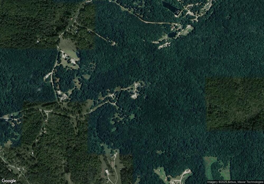
3891 Perkins Rd Thompsons Station, TN 37179
Leiper's Fork NeighborhoodEstimated Value: $543,000 - $994,000
--
Bed
2
Baths
1,635
Sq Ft
$436/Sq Ft
Est. Value
About This Home
This home is located at 3891 Perkins Rd, Thompsons Station, TN 37179 and is currently estimated at $712,069, approximately $435 per square foot. 3891 Perkins Rd is a home located in Williamson County with nearby schools including Hillsboro Elementary/Middle School.
Ownership History
Date
Name
Owned For
Owner Type
Purchase Details
Closed on
Oct 10, 2022
Sold by
Cox Hatcher Brenda Dale
Bought by
Cox Ricky Dale
Current Estimated Value
Purchase Details
Closed on
Jul 21, 2005
Sold by
Maxwell Tammy E and Maxwell David
Bought by
Maxwell David and Maxwell Tammy E
Home Financials for this Owner
Home Financials are based on the most recent Mortgage that was taken out on this home.
Original Mortgage
$30,000
Interest Rate
5.51%
Mortgage Type
Construction
Create a Home Valuation Report for This Property
The Home Valuation Report is an in-depth analysis detailing your home's value as well as a comparison with similar homes in the area
Home Values in the Area
Average Home Value in this Area
Purchase History
| Date | Buyer | Sale Price | Title Company |
|---|---|---|---|
| Cox Ricky Dale | -- | -- | |
| Maxwell David | -- | -- |
Source: Public Records
Mortgage History
| Date | Status | Borrower | Loan Amount |
|---|---|---|---|
| Previous Owner | Maxwell David | $30,000 |
Source: Public Records
Tax History Compared to Growth
Tax History
| Year | Tax Paid | Tax Assessment Tax Assessment Total Assessment is a certain percentage of the fair market value that is determined by local assessors to be the total taxable value of land and additions on the property. | Land | Improvement |
|---|---|---|---|---|
| 2025 | $1,309 | $193,900 | $128,350 | $65,550 |
| 2024 | $1,309 | $69,650 | $29,275 | $40,375 |
| 2023 | $1,309 | $69,650 | $29,275 | $40,375 |
| 2022 | $1,163 | $69,650 | $29,275 | $40,375 |
| 2021 | $1,163 | $61,850 | $21,475 | $40,375 |
| 2020 | $1,121 | $50,475 | $11,625 | $38,850 |
| 2019 | $1,121 | $50,475 | $11,625 | $38,850 |
| 2018 | $1,085 | $50,475 | $11,625 | $38,850 |
| 2017 | $1,085 | $50,475 | $11,625 | $38,850 |
| 2016 | $1,085 | $50,475 | $11,625 | $38,850 |
| 2015 | -- | $40,975 | $8,950 | $32,025 |
| 2014 | -- | $40,975 | $8,950 | $32,025 |
Source: Public Records
Map
Nearby Homes
- 3966 Perkins Rd
- 0 Johnson Hollow Rd Unit RTC3002627
- 3920 Johnson Hollow Rd
- 3921 Johnson Hollow Rd
- 3807 Bear Creek Rd
- 3890 Robinson Rd
- 2530 Sammie Ln
- 3615 Bear Creek Ln
- 5594 Carters Creek Pike
- 1759 Fry Rd
- 1914 Thompsons Station Rd W
- 1924 Thompson Station Rd W
- 3747 Mobleys Cut Rd
- 5679 Carters Creek Pike
- 5620 Leipers Creek Rd
- 1854 Popes Chapel Rd
- 3899 Boston Theta Rd
- 1909 Doctor Robinson Rd
- 1907 Evergreen Rd
- 1896 W Harpeth Rd
- 3889 Perkins Rd
- 3883 Perkins Rd
- 3874 Johnson Hollow Rd
- 3903 Perkins Rd
- 3929 Perkins Rd
- 3910 Perkins Rd
- 3895 Perkins Rd
- 3870 Johnson Hollow Rd
- 3892 Perkins Rd
- 3931 Perkins Rd
- 3882 Perkins Rd
- 3878 Perkins Rd
- 3877 Perkins Rd
- 0 Perkins Rd
- 3888 Perkins Rd
- 3900 Perkins Rd
- 3933 Perkins Rd
- 3821 Sweeney Ln
- 3870 Sycamore Rd
- 3865 Perkins Rd
