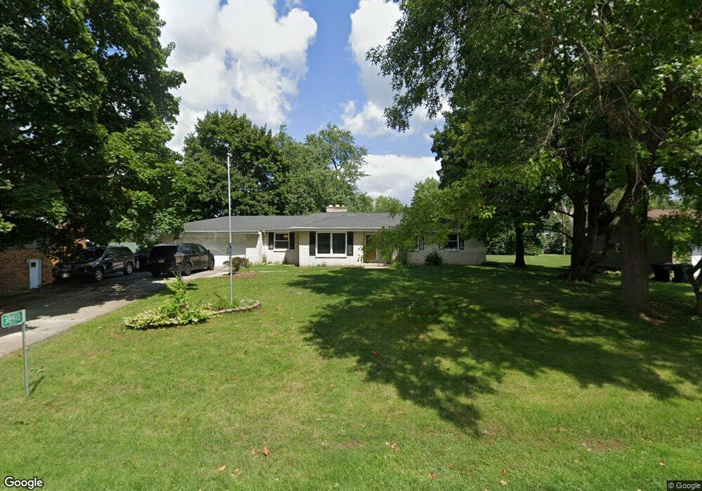
38910 91st Place Genoa City, WI 53128
Estimated Value: $314,000 - $415,000
3
Beds
2
Baths
1,434
Sq Ft
$254/Sq Ft
Est. Value
About This Home
This home is located at 38910 91st Place, Genoa City, WI 53128 and is currently estimated at $364,080, approximately $253 per square foot. 38910 91st Place is a home located in Kenosha County with nearby schools including Randall Consolidated School and Wilmot High School.
Ownership History
Date
Name
Owned For
Owner Type
Purchase Details
Closed on
Jul 13, 2023
Sold by
Falconer Patricia A and Falconer Cathy L.
Bought by
Alterson Nathan B and Kennedy C.
Current Estimated Value
Purchase Details
Closed on
Feb 8, 2023
Sold by
Falconer Leah F
Bought by
Falconer Patricia A
Purchase Details
Closed on
May 7, 2021
Sold by
Falconer John C
Bought by
Falconer Leah F
Home Financials for this Owner
Home Financials are based on the most recent Mortgage that was taken out on this home.
Interest Rate
2.96%
Create a Home Valuation Report for This Property
The Home Valuation Report is an in-depth analysis detailing your home's value as well as a comparison with similar homes in the area
Home Values in the Area
Average Home Value in this Area
Purchase History
| Date | Buyer | Sale Price | Title Company |
|---|---|---|---|
| Alterson Nathan B | $270,000 | Law Offices Of Smith And Janik | |
| Falconer Patricia A | $271,000 | Jeffrey L. Janik | |
| Falconer Leah F | $175,500 | -- |
Source: Public Records
Mortgage History
| Date | Status | Borrower | Loan Amount |
|---|---|---|---|
| Previous Owner | Falconer Leah F | -- |
Source: Public Records
Tax History Compared to Growth
Tax History
| Year | Tax Paid | Tax Assessment Tax Assessment Total Assessment is a certain percentage of the fair market value that is determined by local assessors to be the total taxable value of land and additions on the property. | Land | Improvement |
|---|---|---|---|---|
| 2024 | $3,142 | $237,100 | $53,900 | $183,200 |
| 2023 | $3,200 | $237,100 | $53,900 | $183,200 |
| 2022 | $3,594 | $237,100 | $53,900 | $183,200 |
| 2021 | $3,485 | $237,100 | $53,900 | $183,200 |
| 2020 | $3,126 | $175,500 | $50,200 | $125,300 |
| 2019 | $2,963 | $175,500 | $50,200 | $125,300 |
| 2018 | $3,129 | $175,500 | $50,200 | $125,300 |
| 2017 | $3,510 | $175,500 | $50,200 | $125,300 |
| 2016 | $3,528 | $175,500 | $50,200 | $125,300 |
| 2015 | $3,064 | $175,500 | $50,200 | $125,300 |
| 2014 | -- | $175,500 | $50,200 | $125,300 |
Source: Public Records
Map
Nearby Homes
- 9020 388th Ave
- 9244 391st Ave
- 39918 93rd St
- 8627 392nd Ave
- Lt9 95th St
- Lt10 95th St
- 9631 400th Ave
- 9499 402nd Ave
- 478 Tomahawk Dr
- 207 Tomahawk Dr
- 39740 Bloomfield Rd
- 40724 93rd St
- 8823 406th Ave
- 1061 Highland Dr
- Lt2 Marion Ave
- 201 Lance Dr
- 10536 401st Ave
- 10244 406th Ave
- W105 Tombeau Blvd
- 1111 Rosebud Ave
- Lt14 91st Place Unit Lt15
- 38830 91st Place
- 38920 91st Place
- 9133 390th Ave
- 38815 91st Place
- 38905 91st St
- 38820 91st Place
- 38917 91st St
- 38827 91st St
- 9143 390th Ave
- 38909 92nd St
- 9107 390th Ave
- 38901 92nd St
- 38910 92nd St
- 38808 91st Place
- Lt1 91st St
- Lot 1 91st St
- 0 91st St Unit 10966064
- 0 91st St Unit 10770647
- 0 91st St Unit 10597369