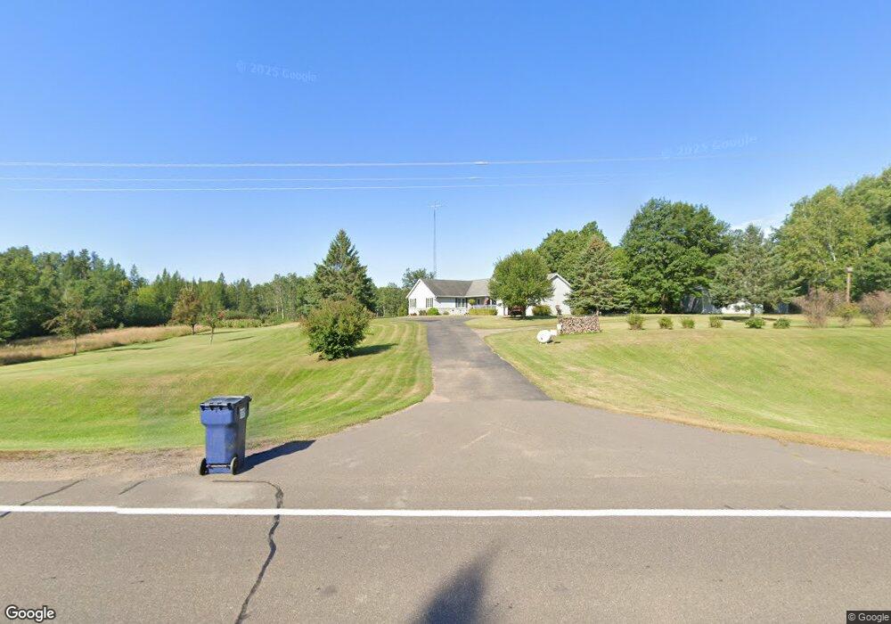
38915 Grove St Palisade, MN 56469
Estimated Value: $377,000 - $522,000
--
Bed
--
Bath
2,045
Sq Ft
$224/Sq Ft
Est. Value
About This Home
This home is located at 38915 Grove St, Palisade, MN 56469 and is currently estimated at $458,565, approximately $224 per square foot. 38915 Grove St is a home located in Aitkin County with nearby schools including Rippleside Elementary School and Aitkin Secondary School.
Ownership History
Date
Name
Owned For
Owner Type
Purchase Details
Closed on
Jul 29, 2022
Sold by
Landrus Arlen and Landrus Karen
Bought by
Landrus Michael and Landrus Sarah
Current Estimated Value
Home Financials for this Owner
Home Financials are based on the most recent Mortgage that was taken out on this home.
Original Mortgage
$345,800
Outstanding Balance
$331,298
Interest Rate
5.78%
Mortgage Type
New Conventional
Estimated Equity
$127,267
Purchase Details
Closed on
May 1, 1994
Bought by
Landrus Arlen D & Karen (Trustees)
Create a Home Valuation Report for This Property
The Home Valuation Report is an in-depth analysis detailing your home's value as well as a comparison with similar homes in the area
Home Values in the Area
Average Home Value in this Area
Purchase History
| Date | Buyer | Sale Price | Title Company |
|---|---|---|---|
| Landrus Michael | $345,800 | -- | |
| Landrus Arlen D & Karen (Trustees) | $25,000 | -- |
Source: Public Records
Mortgage History
| Date | Status | Borrower | Loan Amount |
|---|---|---|---|
| Open | Landrus Michael | $345,800 |
Source: Public Records
Tax History Compared to Growth
Tax History
| Year | Tax Paid | Tax Assessment Tax Assessment Total Assessment is a certain percentage of the fair market value that is determined by local assessors to be the total taxable value of land and additions on the property. | Land | Improvement |
|---|---|---|---|---|
| 2025 | $1,946 | $480,000 | $99,500 | $380,500 |
| 2024 | $2,146 | $468,900 | $102,400 | $366,500 |
| 2023 | $2,262 | $451,700 | $85,600 | $366,100 |
| 2022 | $2,296 | $443,000 | $76,100 | $366,900 |
| 2021 | $2,088 | $345,800 | $55,000 | $290,800 |
| 2020 | $1,950 | $334,800 | $56,800 | $278,000 |
| 2019 | $1,598 | $305,900 | $56,900 | $249,000 |
| 2018 | $1,480 | $254,200 | $55,400 | $198,800 |
| 2017 | $1,266 | $242,600 | $57,100 | $185,500 |
| 2016 | $1,252 | $242,000 | $56,900 | $185,100 |
| 2014 | $1,200 | $238,000 | $48,500 | $189,500 |
| 2012 | $11 | $266,700 | $52,500 | $214,200 |
Source: Public Records
Map
Nearby Homes
- 48894 386th Place
- TBD Grove St
- 47577 367th Place
- 49127 Us Highway 169
- 50416 US Highway 169
- TBD Hwy 169
- 35xxx 453rd Ln
- 36082 437th Ln
- XXX US Hwy 169
- xxxx 460th Ln
- TBD Xxx
- 40669 Lows Lake Rd
- Lot 11 Opahs Rd
- 25343 Lens Rd
- TBD 460th Ln
- 31493 480th St
- 31859 443rd Ln
- 42870 328th Place
- TBD 302xx 480th St
- 30XXX 480th St
- 38916 Grove St
- 56469 491st Ln
- 38923 491st Ln
- 38832 491st Ln
- 38775 491st Ln
- 38750 Grove St
- 39355 Grove St
- TBD 386th Place
- 49349 Osprey Ave
- 48986 386th Place
- Tract E 386th Place
- 38557 486th Ln
- 49148 386th Place
- 48946 386th Place
- 49062 386th Place
- 49042 386th Place
- 48968 386th Place
- 48914 386th Place
- 49006 386th Place
- 49098 386th Place