38922 N 25th Ave Phoenix, AZ 85086
Estimated Value: $656,896 - $797,000
--
Bed
3
Baths
2,147
Sq Ft
$336/Sq Ft
Est. Value
About This Home
This home is located at 38922 N 25th Ave, Phoenix, AZ 85086 and is currently estimated at $721,474, approximately $336 per square foot. 38922 N 25th Ave is a home located in Maricopa County with nearby schools including Sunset Ridge Elementary School, Boulder Creek High School, and Ridgeline Academy.
Ownership History
Date
Name
Owned For
Owner Type
Purchase Details
Closed on
Dec 1, 2004
Sold by
Defazio Robert L and Defazio Joann S
Bought by
Mattson Kenneth S and Mattson Jeannie A
Current Estimated Value
Home Financials for this Owner
Home Financials are based on the most recent Mortgage that was taken out on this home.
Original Mortgage
$247,950
Outstanding Balance
$124,256
Interest Rate
5.74%
Mortgage Type
New Conventional
Estimated Equity
$597,218
Purchase Details
Closed on
Jun 27, 2002
Sold by
Black Andrew Jay and Black Julie Ann
Bought by
Defazio Robert L and Defazio Joann S
Home Financials for this Owner
Home Financials are based on the most recent Mortgage that was taken out on this home.
Original Mortgage
$120,000
Interest Rate
5.87%
Create a Home Valuation Report for This Property
The Home Valuation Report is an in-depth analysis detailing your home's value as well as a comparison with similar homes in the area
Home Values in the Area
Average Home Value in this Area
Purchase History
| Date | Buyer | Sale Price | Title Company |
|---|---|---|---|
| Mattson Kenneth S | $310,000 | Capital Title Agency Inc | |
| Defazio Robert L | $55,000 | Capital Title Agency Inc |
Source: Public Records
Mortgage History
| Date | Status | Borrower | Loan Amount |
|---|---|---|---|
| Open | Mattson Kenneth S | $247,950 | |
| Previous Owner | Defazio Robert L | $120,000 | |
| Closed | Mattson Kenneth S | $31,000 |
Source: Public Records
Tax History Compared to Growth
Tax History
| Year | Tax Paid | Tax Assessment Tax Assessment Total Assessment is a certain percentage of the fair market value that is determined by local assessors to be the total taxable value of land and additions on the property. | Land | Improvement |
|---|---|---|---|---|
| 2025 | $3,303 | $32,228 | -- | -- |
| 2024 | $3,126 | $30,694 | -- | -- |
| 2023 | $3,126 | $51,320 | $10,260 | $41,060 |
| 2022 | $3,005 | $38,950 | $7,790 | $31,160 |
| 2021 | $3,101 | $37,150 | $7,430 | $29,720 |
| 2020 | $3,034 | $35,110 | $7,020 | $28,090 |
| 2019 | $2,935 | $33,210 | $6,640 | $26,570 |
| 2018 | $2,829 | $31,230 | $6,240 | $24,990 |
| 2017 | $2,777 | $27,860 | $5,570 | $22,290 |
| 2016 | $2,519 | $27,680 | $5,530 | $22,150 |
| 2015 | $2,332 | $24,060 | $4,810 | $19,250 |
Source: Public Records
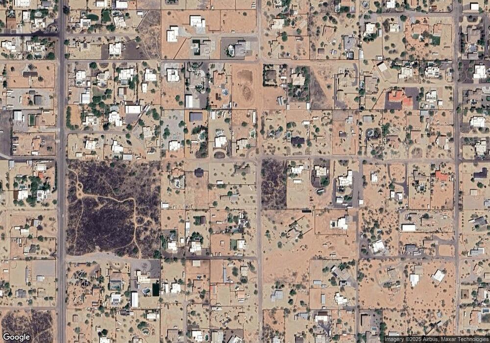
Map
Nearby Homes
- 39125 N 25th Ave
- 2526 W Fernwood Dr
- 3451 W Irvine Rd
- 38507 N 27th Ave
- 38415 N 25th Ave
- 2456 W Clearview Trail Unit 47
- 2526 W Shackleton Dr
- 38920 N 29th Ave
- 39820 N Mill Creek Ct Unit 43
- 2926 W Tanya Trail
- 39731 N High Noon Way
- 39756 N High Noon Way
- 38913 N 21st Ave
- 2646 W Patagonia Way
- 2658 W Patagonia Way
- 3217 W Blue Eagle Ln
- 2579 W Lewis And Clark Trail
- 3030 W Irvine Rd
- 2237 W Twain Dr Unit 39
- 2116 W Kuralt Dr
- 38913 N 25th Ave
- 2506 W Tanya Rd
- 2518 W Tanya Rd
- 2536 W Tanya Rd
- 38820 N 25th Ave
- 39013 N 25th Ave
- 2545 W Tanya Rd
- 2427 W Tanya Rd
- 2427 W Tanya Trail
- 38808 N 25th Ave
- 2430 W Tanya Rd
- 25XX W Saber Rd
- 25XX W Saber Rd
- 25XX W Saber Rd
- 25XX W Saber Rd
- 38809 N 25th Ave
- 38812 N 25th Ave
- 2421 W Tanya Rd
- 2507 W Saber Rd
- 2507 W Saber Rd