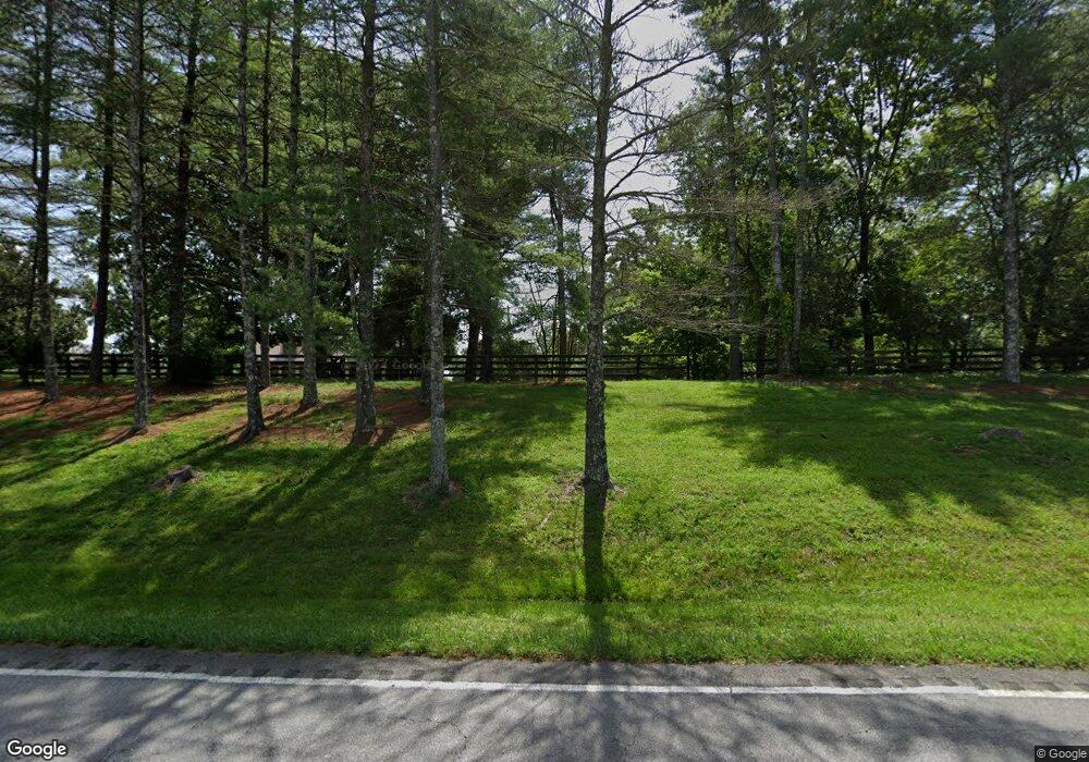
Estimated Value: $523,000 - $778,000
--
Bed
--
Bath
2,714
Sq Ft
$226/Sq Ft
Est. Value
About This Home
This home is located at 3896 Highway 47 E, Burns, TN 37029 and is currently estimated at $613,134, approximately $225 per square foot. 3896 Highway 47 E is a home with nearby schools including Stuart Burns Elementary School, Burns Middle School, and Dickson County High School.
Ownership History
Date
Name
Owned For
Owner Type
Purchase Details
Closed on
Mar 26, 2024
Sold by
Brown Deborah A
Bought by
Deborah A Brown Trust
Current Estimated Value
Purchase Details
Closed on
Oct 28, 2021
Sold by
Giles and Kimberly
Bought by
Brown Sammy J and Brown Deborah A
Purchase Details
Closed on
Jul 6, 1993
Bought by
Brown Sammy J
Purchase Details
Closed on
Dec 3, 1984
Bought by
Brown Sammy Joe and Brown Susan
Purchase Details
Closed on
Dec 29, 1971
Create a Home Valuation Report for This Property
The Home Valuation Report is an in-depth analysis detailing your home's value as well as a comparison with similar homes in the area
Home Values in the Area
Average Home Value in this Area
Purchase History
| Date | Buyer | Sale Price | Title Company |
|---|---|---|---|
| Deborah A Brown Trust | -- | None Listed On Document | |
| Deborah A Brown Trust | -- | None Listed On Document | |
| Brown Sammy J | -- | Ramsey Thornton Barrett Osborn | |
| Brown Sammy J | -- | -- | |
| Brown J C | $215,000 | -- | |
| Brown Sammy Joe | -- | -- | |
| -- | -- | -- |
Source: Public Records
Tax History Compared to Growth
Tax History
| Year | Tax Paid | Tax Assessment Tax Assessment Total Assessment is a certain percentage of the fair market value that is determined by local assessors to be the total taxable value of land and additions on the property. | Land | Improvement |
|---|---|---|---|---|
| 2025 | $2,286 | $135,250 | $0 | $0 |
| 2024 | $2,286 | $135,250 | $31,425 | $103,825 |
| 2023 | $2,192 | $93,275 | $16,925 | $76,350 |
| 2022 | $2,163 | $92,025 | $16,925 | $75,100 |
| 2021 | $2,163 | $92,025 | $16,925 | $75,100 |
| 2020 | $2,163 | $92,025 | $16,925 | $75,100 |
| 2019 | $2,163 | $92,025 | $16,925 | $75,100 |
| 2018 | $2,054 | $76,075 | $15,425 | $60,650 |
| 2017 | $2,054 | $76,075 | $15,425 | $60,650 |
| 2016 | $2,054 | $76,075 | $15,425 | $60,650 |
| 2015 | $1,955 | $67,425 | $15,425 | $52,000 |
| 2014 | $1,955 | $67,425 | $15,425 | $52,000 |
Source: Public Records
Map
Nearby Homes
- 0 Cathey Hollow Rd Unit RTC3011475
- 308 Beechwood Dr
- 986 Hall Cemetery Rd
- 1168 Johnny Hall Rd
- 3328 Church St
- 1002 Village Ct
- 1123 Johnson St
- 1119 Johnson St
- 1 Myatt Loop
- 4 Myatt Loop
- 0 Spencer Mill Rd Unit RTC2945261
- 3215 Church St
- 0 Camp Ravine Rd
- 1290 Spencer Mill Rd
- 1034 Ridglea Dr
- 1000 Bradby Dr
- 990 Iron Hill Rd
- 1004 Bradby Dr
- 164 Lena Loop
- 106 Meadowood Loop
- 1455 Cathey Hollow Rd
- 1450 Cathey Hollow Rd
- 550 Old Highway 47 E
- 546 Old Highway 47 E
- 1385 Cathey Hollow Rd
- 1365 Cathey Hollow Rd
- 520 Old Highway 47 E
- 514 Old Highway 47 E
- 0 Hwy 47 Unit 1974856
- 0 Hwy 47 Unit 1974849
- 0 Hwy 47 Unit 1455094
- 1361 Cathey Hollow Rd
- 510 Old Highway 47 E
- 500 Old Highway 47 E
- 0 Cathey Hollow Rd Unit RTC2583305
- 0 Cathey Hollow Rd Unit 2158895
- 0 Cathey Hollow Rd Unit 2035308
- 1229 Hardwood Trail
- 3850 Highway 47 E
- 1241 Hardwood Trail
