3897 Peach Dr Loomis, CA 95650
Estimated Value: $874,185 - $958,000
2
Beds
2
Baths
1,200
Sq Ft
$771/Sq Ft
Est. Value
About This Home
This home is located at 3897 Peach Dr, Loomis, CA 95650 and is currently estimated at $925,046, approximately $770 per square foot. 3897 Peach Dr is a home with nearby schools including Del Oro High School and Sierra Foothills Academy.
Ownership History
Date
Name
Owned For
Owner Type
Purchase Details
Closed on
Aug 13, 2019
Sold by
Wheeler Timothy Mark and Wheeler Bainca
Bought by
Wheeler Timothy and Wheeler Bainca
Current Estimated Value
Home Financials for this Owner
Home Financials are based on the most recent Mortgage that was taken out on this home.
Original Mortgage
$42,000
Outstanding Balance
$36,784
Interest Rate
3.7%
Mortgage Type
New Conventional
Estimated Equity
$888,262
Purchase Details
Closed on
Dec 27, 2016
Sold by
Umpqua Bank
Bought by
Wheeler Timothy Mark and Wheeler Bianca Dione
Purchase Details
Closed on
Mar 27, 2014
Sold by
Bonner Edward N
Bought by
Umpqua Bank
Create a Home Valuation Report for This Property
The Home Valuation Report is an in-depth analysis detailing your home's value as well as a comparison with similar homes in the area
Purchase History
| Date | Buyer | Sale Price | Title Company |
|---|---|---|---|
| Wheeler Timothy | -- | Old Republic Title Company | |
| Wheeler Timothy Mark | $215,000 | Placer Title Company | |
| Umpqua Bank | $167,000 | None Available |
Source: Public Records
Mortgage History
| Date | Status | Borrower | Loan Amount |
|---|---|---|---|
| Open | Wheeler Timothy | $42,000 |
Source: Public Records
Tax History
| Year | Tax Paid | Tax Assessment Tax Assessment Total Assessment is a certain percentage of the fair market value that is determined by local assessors to be the total taxable value of land and additions on the property. | Land | Improvement |
|---|---|---|---|---|
| 2025 | $7,751 | $575,427 | $249,522 | $325,905 |
| 2023 | $7,751 | $553,084 | $239,834 | $313,250 |
| 2022 | $7,664 | $542,240 | $235,132 | $307,108 |
| 2021 | $7,518 | $531,609 | $230,522 | $301,087 |
| 2020 | $7,451 | $526,159 | $228,159 | $298,000 |
| 2019 | $4,202 | $223,686 | $223,686 | $0 |
| 2018 | $2,404 | $219,300 | $219,300 | $0 |
| 2017 | $2,366 | $215,000 | $215,000 | $0 |
| 2016 | $1,867 | $167,279 | $167,279 | $0 |
| 2015 | $1,832 | $164,767 | $164,767 | $0 |
| 2014 | $1,806 | $161,540 | $161,540 | $0 |
Source: Public Records
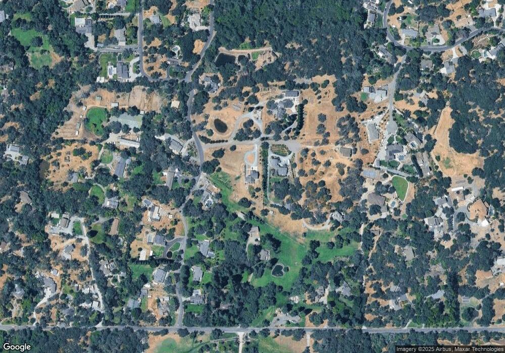
Map
Nearby Homes
- 3959 Maresborough Place
- 3740 N Lakeshore Blvd
- 9260 Miners Crossing
- 4015 Bonanza Way
- 3515 Auburn Folsom Rd
- 9688 Clos Du Lac Cir
- 9345 King Rd
- 4620 Miners Cove Cir
- 9709 Rim Rock Cir
- 3599 Hector Rd
- 9695 Junewood Ln
- 8470 Horseshoe Hill Rd
- 4800 Auburn Folsom Rd Unit 23
- 4800 Auburn Folsom Rd Unit 9
- 4800 Auburn Folsom Rd Unit 21
- 4800 Auburn Folsom Rd Unit 58
- 4800 Auburn Folsom Rd Unit 29
- 4970 Lexington Cir
- 5001 Auburn Folsom Rd
- 3425 Runners Place
Your Personal Tour Guide
Ask me questions while you tour the home.