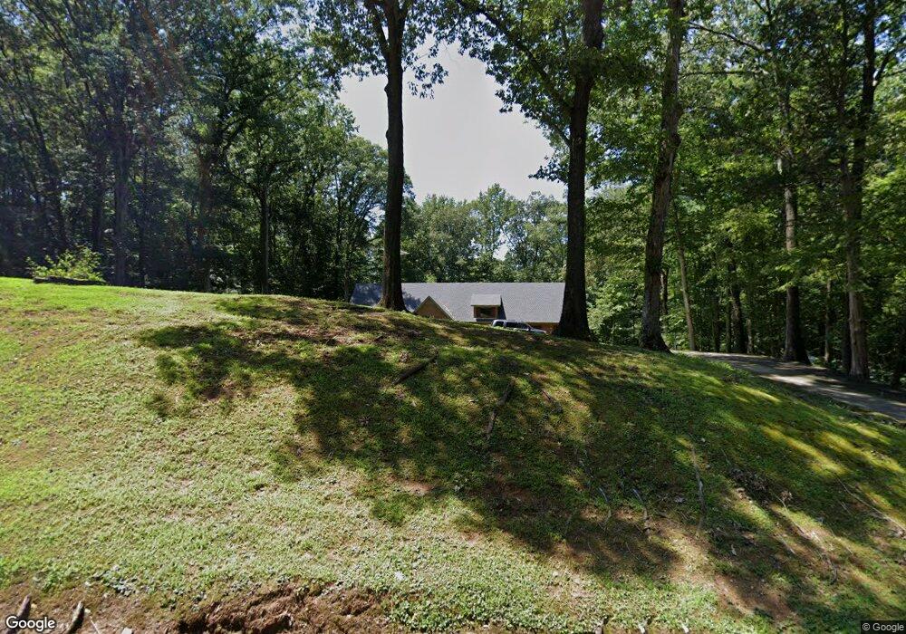
39 Adair Rd Jackson, TN 38305
Estimated Value: $452,000 - $603,000
Studio
5
Baths
5,227
Sq Ft
$101/Sq Ft
Est. Value
About This Home
This home is located at 39 Adair Rd, Jackson, TN 38305 and is currently estimated at $529,869, approximately $101 per square foot. 39 Adair Rd is a home located in Madison County with nearby schools including Pope School, Northeast Middle School, and North Side High School.
Ownership History
Date
Name
Owned For
Owner Type
Purchase Details
Closed on
Oct 31, 1990
Bought by
Mcnowell James F
Current Estimated Value
Purchase Details
Closed on
Dec 29, 1989
Bought by
Woulfe James R
Purchase Details
Closed on
Apr 13, 1989
Bought by
Beacon Hill Prop Inc
Purchase Details
Closed on
Nov 12, 1987
Bought by
Snapp Malissa B
Purchase Details
Closed on
Oct 31, 1986
Purchase Details
Closed on
Jan 26, 1983
Purchase Details
Closed on
Apr 21, 1980
Create a Home Valuation Report for This Property
The Home Valuation Report is an in-depth analysis detailing your home's value as well as a comparison with similar homes in the area
Purchase History
| Date | Buyer | Sale Price | Title Company |
|---|---|---|---|
| Mcnowell James F | $128,000 | -- | |
| Woulfe James R | $126,500 | -- | |
| Beacon Hill Prop Inc | $134,900 | -- | |
| Snapp Malissa B | -- | -- | |
| -- | $106,500 | -- | |
| -- | -- | -- | |
| -- | -- | -- |
Source: Public Records
Tax History
| Year | Tax Paid | Tax Assessment Tax Assessment Total Assessment is a certain percentage of the fair market value that is determined by local assessors to be the total taxable value of land and additions on the property. | Land | Improvement |
|---|---|---|---|---|
| 2025 | $2,036 | $108,650 | $10,175 | $98,475 |
| 2024 | $2,036 | $108,650 | $10,175 | $98,475 |
| 2022 | $1,976 | $105,475 | $10,175 | $95,300 |
| 2021 | $1,477 | $62,850 | $7,050 | $55,800 |
| 2020 | $1,477 | $62,850 | $7,050 | $55,800 |
| 2019 | $1,477 | $62,850 | $7,050 | $55,800 |
| 2018 | $1,477 | $62,850 | $7,050 | $55,800 |
| 2017 | $1,430 | $58,375 | $5,125 | $53,250 |
| 2016 | $1,255 | $58,375 | $5,125 | $53,250 |
| 2015 | $1,255 | $58,375 | $5,125 | $53,250 |
| 2014 | $1,255 | $58,375 | $5,125 | $53,250 |
Source: Public Records
Map
Nearby Homes
- 250 Bascom Rd
- 129 Pepper Tree Rd
- 11 Burning Tree Cove
- 119 Bascom Rd
- 44 Ginger Ln
- 231 Tuckahoe Rd
- 101 Thornfield Dr
- 117 Tuckahoe Rd
- 359 Old Bells Rd
- 0 Hwy 412 W Unit 24506932
- 135 Windy City Rd
- 80 Wrights Mill Dr
- 00 Windy City Rd
- 97 Wrights Mill Dr
- 23 Kinnewick Cove
- 52 Kinnewick Cove
- 19 Ravenwood Dr
- 116 Ravenwood Dr
- 0 Hwy 412 E
- 115 Buckingham Cove
- 25 Adair Rd
- 4520 Bells Hwy Unit 4520449
- 79 Adair Rd
- 4440 Bells Hwy
- 4511 Bells Hwy Unit 4511
- 4495 Bells Hwy Unit 4495448
- 4495 Bells Hwy Unit 4483
- 4560 Bells Hwy Unit 4548
- 4560 Bells Hwy Unit 4560456
- 4557 Bells Hwy Unit 4557
- 4561 Bells Hwy Unit 4561
- 4568 Bells Hwy Unit 4568
- 4525 Bells Hwy Unit 4525
- 4580 Bells Hwy Unit 4580
- 401 Bascom Rd
- 4590 Bells Hwy Unit 4590
- 4600 Bells Hwy
- 4601 Bells Hwy
- 4387 Bells Hwy Unit 4387438
- 426 Bascom Rd
Your Personal Tour Guide
Ask me questions while you tour the home.