Estimated Value: $481,000 - $589,000
4
Beds
3
Baths
3,001
Sq Ft
$183/Sq Ft
Est. Value
About This Home
This home is located at 39 Adams Way, Union, NH 03887 and is currently estimated at $547,883, approximately $182 per square foot. 39 Adams Way is a home located in Strafford County with nearby schools including Valley View Community School, Henry Wilson Memorial School, and Farmington Senior High School.
Ownership History
Date
Name
Owned For
Owner Type
Purchase Details
Closed on
Jul 25, 2007
Sold by
Wright Royce W
Bought by
Ziemba John M and Ziemba Laura Lee
Current Estimated Value
Home Financials for this Owner
Home Financials are based on the most recent Mortgage that was taken out on this home.
Original Mortgage
$241,500
Outstanding Balance
$153,139
Interest Rate
6.78%
Mortgage Type
Purchase Money Mortgage
Estimated Equity
$394,744
Purchase Details
Closed on
Jan 26, 2007
Sold by
R To The Fourth Llc
Bought by
Wright Royce W
Home Financials for this Owner
Home Financials are based on the most recent Mortgage that was taken out on this home.
Original Mortgage
$273,745
Interest Rate
6.15%
Mortgage Type
Purchase Money Mortgage
Create a Home Valuation Report for This Property
The Home Valuation Report is an in-depth analysis detailing your home's value as well as a comparison with similar homes in the area
Home Values in the Area
Average Home Value in this Area
Purchase History
| Date | Buyer | Sale Price | Title Company |
|---|---|---|---|
| Ziemba John M | $322,000 | -- | |
| Wright Royce W | $270,000 | -- |
Source: Public Records
Mortgage History
| Date | Status | Borrower | Loan Amount |
|---|---|---|---|
| Open | Wright Royce W | $241,500 | |
| Previous Owner | Wright Royce W | $273,745 |
Source: Public Records
Tax History Compared to Growth
Tax History
| Year | Tax Paid | Tax Assessment Tax Assessment Total Assessment is a certain percentage of the fair market value that is determined by local assessors to be the total taxable value of land and additions on the property. | Land | Improvement |
|---|---|---|---|---|
| 2024 | $7,588 | $488,300 | $163,300 | $325,000 |
| 2023 | $7,344 | $488,300 | $163,300 | $325,000 |
| 2022 | $7,138 | $273,600 | $68,400 | $205,200 |
| 2021 | $7,513 | $273,600 | $68,400 | $205,200 |
| 2020 | $7,661 | $271,000 | $68,400 | $202,600 |
| 2019 | $7,122 | $271,000 | $68,400 | $202,600 |
| 2018 | $7,585 | $271,000 | $68,400 | $202,600 |
| 2017 | $7,161 | $265,700 | $64,200 | $201,500 |
| 2016 | $9,608 | $265,700 | $64,200 | $201,500 |
| 2015 | $7,609 | $265,600 | $64,200 | $201,400 |
| 2014 | $6,509 | $258,500 | $64,200 | $194,300 |
| 2013 | $6,101 | $258,500 | $64,200 | $194,300 |
Source: Public Records
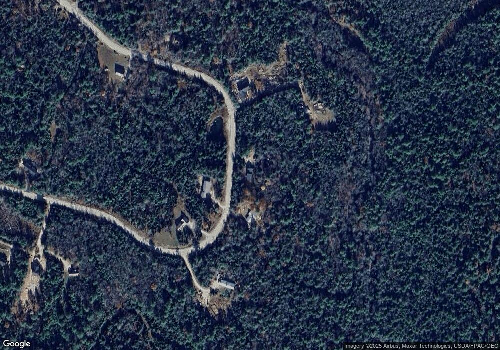
Map
Nearby Homes
- 15 Adams Way
- 0 Pine Ridge Rd Unit 51
- 46-2 & 47 New Hampshire 153
- 1765 White Mountain Hwy
- 132 Main St
- 108 Kings Hwy
- 586 New Hampshire 153
- 684 Route 153
- Lot 12-10 New Durham Rd
- 00 Pinkham Rd Unit 11-5
- 0 Pinkham Rd Unit Map 8 Lot 6-4
- 00 Pinkham Rd Unit 11-7
- 99 Pinkham Rd Unit Map 8 Lot 6-5
- 123 Pinkham Rd
- 1451 White Mountain Hwy
- 0 White Mountain Hwy Unit 5033185
- 564 White Mountain Hwy
- 0 Fox Rd Unit 5010590
- TBD Mason Rd
- 795 New Hampshire 153