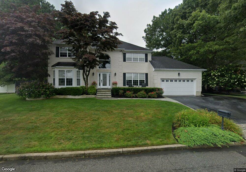
39 Adamson St Selden, NY 11784
Estimated Value: $729,000 - $834,000
4
Beds
4
Baths
2,604
Sq Ft
$304/Sq Ft
Est. Value
About This Home
This home is located at 39 Adamson St, Selden, NY 11784 and is currently estimated at $792,354, approximately $304 per square foot. 39 Adamson St is a home located in Suffolk County.
Ownership History
Date
Name
Owned For
Owner Type
Purchase Details
Closed on
May 4, 2015
Sold by
Serapiglia Anthony and Serapiglia Carol
Bought by
Serapiglia Carol
Current Estimated Value
Purchase Details
Closed on
Apr 18, 2003
Sold by
Serapiglia Anthony and Serapiglia Carol
Bought by
Serapiglia Anthony and Serapiglia Carol
Home Financials for this Owner
Home Financials are based on the most recent Mortgage that was taken out on this home.
Original Mortgage
$200,000
Interest Rate
5.46%
Mortgage Type
Purchase Money Mortgage
Purchase Details
Closed on
Jan 26, 1998
Sold by
Somerset Estates At Selden Inc
Bought by
Serapiglia Anthony and Alvino Carol
Create a Home Valuation Report for This Property
The Home Valuation Report is an in-depth analysis detailing your home's value as well as a comparison with similar homes in the area
Home Values in the Area
Average Home Value in this Area
Purchase History
| Date | Buyer | Sale Price | Title Company |
|---|---|---|---|
| Serapiglia Carol | -- | None Available | |
| Serapiglia Anthony | -- | Fidelity National Title Ins | |
| Serapiglia Anthony | $226,000 | Chicago Title Insurance Co |
Source: Public Records
Mortgage History
| Date | Status | Borrower | Loan Amount |
|---|---|---|---|
| Closed | Serapiglia Anthony | $200,000 |
Source: Public Records
Tax History
| Year | Tax Paid | Tax Assessment Tax Assessment Total Assessment is a certain percentage of the fair market value that is determined by local assessors to be the total taxable value of land and additions on the property. | Land | Improvement |
|---|---|---|---|---|
| 2024 | $15,431 | $3,700 | $275 | $3,425 |
| 2023 | $15,431 | $3,700 | $275 | $3,425 |
| 2022 | $14,831 | $3,700 | $275 | $3,425 |
| 2021 | $14,831 | $3,700 | $275 | $3,425 |
| 2020 | $14,156 | $3,700 | $275 | $3,425 |
| 2019 | $14,156 | $0 | $0 | $0 |
| 2018 | $14,491 | $3,955 | $275 | $3,680 |
| 2017 | $14,491 | $3,955 | $275 | $3,680 |
| 2016 | $14,448 | $3,955 | $275 | $3,680 |
| 2015 | -- | $3,955 | $275 | $3,680 |
| 2014 | -- | $3,955 | $275 | $3,680 |
Source: Public Records
Map
Nearby Homes
- 53 Freedom Ln
- 24 Embassy Rd
- 3 Embassy Rd
- 1066 Old Town Rd
- 4 Hillsdale Ln
- 84 Wyona Ave
- 111 Wyona Ave
- 655 Middle Country Rd Unit 4D1
- 655 Middle Country Rd Unit 7B1
- 4 Prospect St
- 7 Filmore Ave
- 4 Rd
- 110 Dare Rd
- 22 Harford Dr
- 981 Old Town Rd
- 177 N Bicycle Path
- 652 Hawkins Rd E
- 24 New Ln
- 5 Haiti Ln
- 98 Rose Place
Your Personal Tour Guide
Ask me questions while you tour the home.