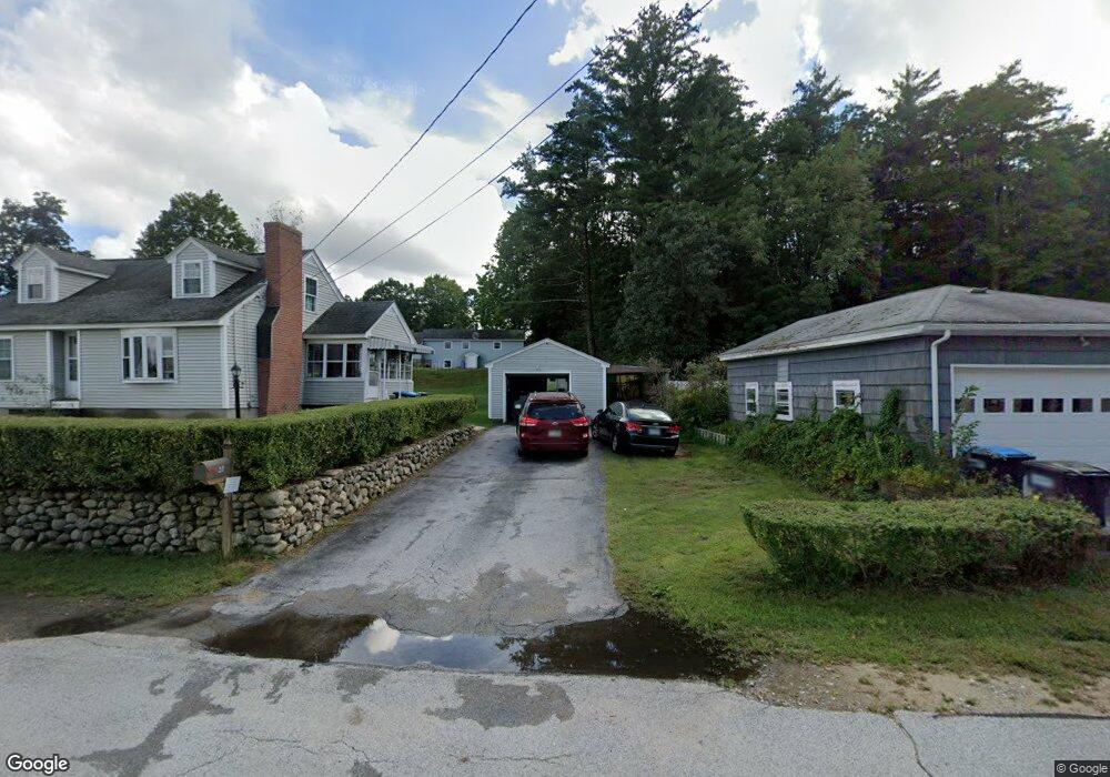
39 Als Ave Allenstown, NH 03275
Suncook NeighborhoodEstimated Value: $380,000 - $459,000
4
Beds
2
Baths
1,612
Sq Ft
$259/Sq Ft
Est. Value
About This Home
This home is located at 39 Als Ave, Allenstown, NH 03275 and is currently estimated at $416,916, approximately $258 per square foot. 39 Als Ave is a home located in Merrimack County with nearby schools including Allenstown Elementary School, Armand R. Dupont School, and Tender Years Child Care & Learning Center.
Ownership History
Date
Name
Owned For
Owner Type
Purchase Details
Closed on
Jun 14, 2012
Sold by
Cote Teresa
Bought by
Cote Alan R
Current Estimated Value
Purchase Details
Closed on
Jun 22, 2005
Sold by
Golub Robert L
Bought by
Cote Alan R and Cote Teresa L
Home Financials for this Owner
Home Financials are based on the most recent Mortgage that was taken out on this home.
Original Mortgage
$160,000
Interest Rate
5.82%
Create a Home Valuation Report for This Property
The Home Valuation Report is an in-depth analysis detailing your home's value as well as a comparison with similar homes in the area
Home Values in the Area
Average Home Value in this Area
Purchase History
| Date | Buyer | Sale Price | Title Company |
|---|---|---|---|
| Cote Alan R | -- | -- | |
| Cote Alan R | $200,000 | -- | |
| Cote Alan R | $200,000 | -- |
Source: Public Records
Mortgage History
| Date | Status | Borrower | Loan Amount |
|---|---|---|---|
| Previous Owner | Cote Alan R | $160,000 |
Source: Public Records
Tax History Compared to Growth
Tax History
| Year | Tax Paid | Tax Assessment Tax Assessment Total Assessment is a certain percentage of the fair market value that is determined by local assessors to be the total taxable value of land and additions on the property. | Land | Improvement |
|---|---|---|---|---|
| 2024 | $8,267 | $325,200 | $138,000 | $187,200 |
| 2023 | $6,894 | $325,200 | $138,000 | $187,200 |
| 2022 | $6,341 | $325,200 | $138,000 | $187,200 |
| 2021 | $6,070 | $192,700 | $78,600 | $114,100 |
| 2020 | $5,646 | $192,700 | $78,600 | $114,100 |
| 2019 | $5,993 | $192,700 | $78,600 | $114,100 |
| 2018 | $5,810 | $192,700 | $78,600 | $114,100 |
| 2017 | $6,188 | $192,700 | $78,600 | $114,100 |
| 2016 | $5,499 | $162,400 | $57,200 | $105,200 |
| 2015 | $5,328 | $162,300 | $57,200 | $105,100 |
| 2014 | $5,482 | $162,300 | $57,200 | $105,100 |
| 2013 | $5,108 | $162,000 | $57,200 | $104,800 |
Source: Public Records
Map
Nearby Homes
- 422 Dawn Dr Unit 23
- 427 Dawn Dr Unit 15
- 15 Main St
- 4 Rodger Rd
- 7 Ferry St
- 111 Glass St
- 1 1/2 Bartlett St
- 100 Main St Unit M10
- 100 Main St Unit 204
- 19 Sullivan Dr
- 12-14 Church St Unit 12,14
- 10 Lane Dr
- 2 Cheryl Dr
- 15 Sullivan Dr
- 1821 Hooksett Rd
- 233 Pembroke St
- 307 Dearborn Rd
- 259 Pembroke St
- 10 Northview Terrace
- 14 Manor Dr Unit D